43501 State Highway 13 Waseca, MN 56093
Estimated Value: $329,000 - $530,024
3
Beds
2
Baths
1,304
Sq Ft
$338/Sq Ft
Est. Value
About This Home
This home is located at 43501 State Highway 13, Waseca, MN 56093 and is currently estimated at $440,675, approximately $337 per square foot. 43501 State Highway 13 is a home with nearby schools including Waterville Elementary School, Morristown Elementary School, and Waterville-Elysian-Morristown Junior High School.
Ownership History
Date
Name
Owned For
Owner Type
Purchase Details
Closed on
Dec 4, 2013
Sold by
Jellum Gene R and Jellum Donna
Bought by
Johnson Gregory A and Johnson Becky L
Current Estimated Value
Home Financials for this Owner
Home Financials are based on the most recent Mortgage that was taken out on this home.
Original Mortgage
$21,600
Interest Rate
6.75%
Mortgage Type
Balloon
Create a Home Valuation Report for This Property
The Home Valuation Report is an in-depth analysis detailing your home's value as well as a comparison with similar homes in the area
Home Values in the Area
Average Home Value in this Area
Purchase History
| Date | Buyer | Sale Price | Title Company |
|---|---|---|---|
| Johnson Gregory A | -- | -- |
Source: Public Records
Mortgage History
| Date | Status | Borrower | Loan Amount |
|---|---|---|---|
| Closed | Johnson Gregory A | $21,600 | |
| Open | Johnson Gregory A | $183,600 |
Source: Public Records
Tax History Compared to Growth
Tax History
| Year | Tax Paid | Tax Assessment Tax Assessment Total Assessment is a certain percentage of the fair market value that is determined by local assessors to be the total taxable value of land and additions on the property. | Land | Improvement |
|---|---|---|---|---|
| 2024 | $2,052 | $467,900 | $285,600 | $182,300 |
| 2023 | $2,002 | $446,900 | $269,200 | $177,700 |
| 2022 | $1,746 | $325,400 | $198,500 | $126,900 |
| 2021 | $1,654 | $293,600 | $186,100 | $107,500 |
| 2020 | $1,184 | $272,700 | $162,500 | $110,200 |
| 2019 | $1,476 | $266,700 | $168,400 | $98,300 |
| 2018 | $1,180 | $260,200 | $168,400 | $91,800 |
| 2017 | $1,094 | $222,300 | $161,409 | $60,891 |
| 2016 | $1,066 | $222,200 | $166,005 | $56,195 |
| 2015 | -- | $217,700 | $163,609 | $54,091 |
| 2012 | -- | $191,900 | $128,994 | $62,906 |
Source: Public Records
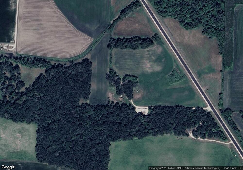
Map
Nearby Homes
- 42156 120th St
- XXXX Southridge Ln
- TBD Kent Ave
- 14340 Minnesota 60
- 14340 State Highway 60
- 212 2nd St S
- 130 1st St N
- 13262 Sakatah Lake Rd
- 114 Reed St S
- Tbd 160th St
- 102 Buchannon St S
- 617 1st St N
- 705 1st St N
- Open Lot Browers St E
- 730 1st St N
- 902 Marion St
- 921 Lillian St
- TBD 260th St W
- 425 W Franklin St
- 206 W Main St
- 43497 State Highway 13
- Lot 3 Blk 1 430th Ave
- Lot 2 Blk 1 430th Ave
- Lot 4 Blk 1 430th Ave
- Lot 6 Blk 1 430th Ave
- 12890 440th Ave
- 12679 430th Ave
- 12679 430th Ave
- 12679 430th Ave
- 12639 430th Ave
- Lot 7 Blk 1 430 Th Ave
- Lot 7 Blk 1 430th Ave
- 12647 430th Ave
- 12691 430th Ave
- 12665 430th Ave
- 12701 430th Ave
- 43268 130th St
- 12694 12694 430th Ave W
- 12694 12694 430th Ave
- 12694 430th Ave