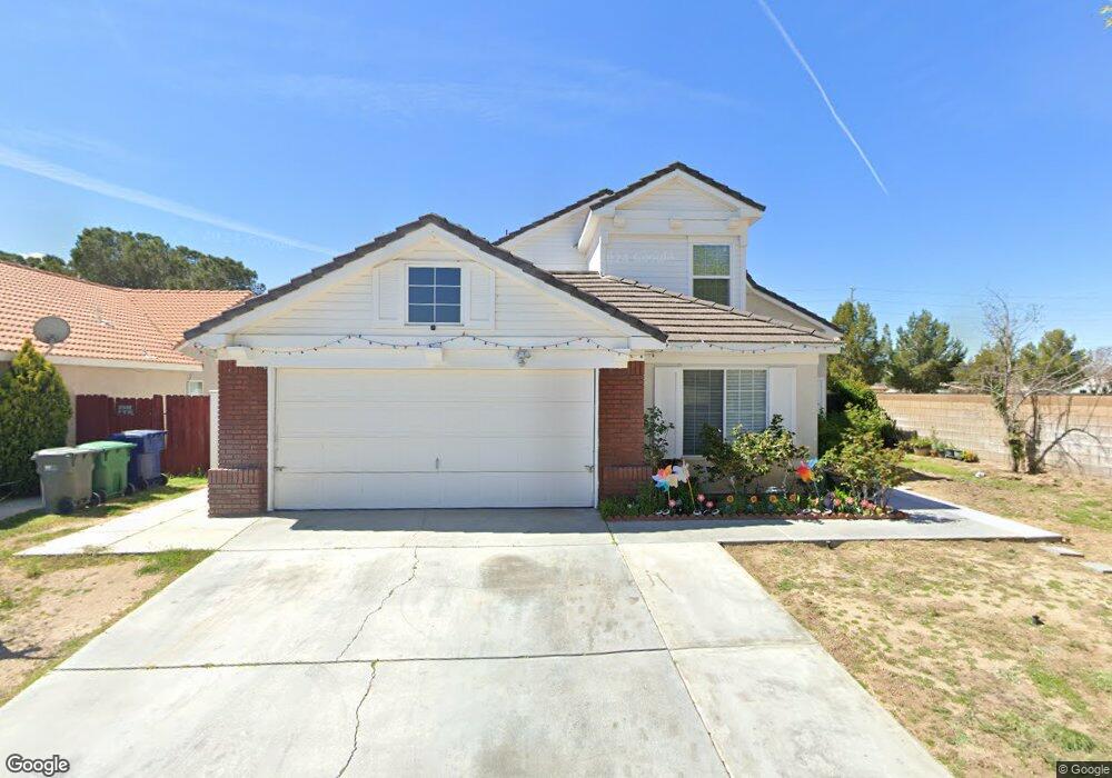
43503 Huron St Lancaster, CA 93535
East Lancaster NeighborhoodEstimated Value: $453,545 - $538,000
About This Home
This home is located at 43503 Huron St, Lancaster, CA 93535 and is currently estimated at $494,886, approximately $253 per square foot. 43503 Huron St is a home located in Los Angeles County with nearby schools including Eastside Elementary School, Gifford C. Cole Middle School, and Eastside High School.
Ownership History
We collect this data history from publicly available records. To have your information removed, we recommend requesting removal directly through your county’s website.
Purchase Details
Home Financials for this Owner
Home Financials are based on the most recent Mortgage that was taken out on this home.Purchase Details
Home Financials for this Owner
Home Financials are based on the most recent Mortgage that was taken out on this home.Purchase Details
Home Financials for this Owner
Home Financials are based on the most recent Mortgage that was taken out on this home.Purchase Details
Home Financials for this Owner
Home Financials are based on the most recent Mortgage that was taken out on this home.Home Values in the Area
Average Home Value in this Area
Purchase History
We collect this data history from publicly available records. To have your information removed, we recommend requesting removal directly through your county’s website.
| Date | Buyer | Sale Price | Title Company |
|---|---|---|---|
| -- | Commonwealth Title | ||
| -- | Commonwealth Title | ||
| -- | Old Republic Title Company | ||
| -- | Old Republic Title Company | ||
| $220,000 | Fidelity National Title | ||
| $119,000 | Continental Lawyers Title Co |
Mortgage History
We collect this data history from publicly available records. To have your information removed, we recommend requesting removal directly through your county’s website.
| Date | Status | Borrower | Loan Amount |
|---|---|---|---|
| Open | $274,500 | ||
| Closed | $255,000 | ||
| Previous Owner | $176,000 | ||
| Previous Owner | $121,369 | ||
| Closed | $44,000 |
Tax History
We collect this data history from publicly available records. To have your information removed, we recommend requesting removal directly through your county’s website.
| Year | Tax Paid | Tax Assessment Tax Assessment Total Assessment is a certain percentage of the fair market value that is determined by local assessors to be the total taxable value of land and additions on the property. | Land | Improvement |
|---|---|---|---|---|
| 2025 | $5,338 | $312,772 | $62,545 | $250,227 |
| 2024 | $5,087 | $306,640 | $61,319 | $245,321 |
| 2023 | $4,927 | $300,628 | $60,117 | $240,511 |
| 2022 | $4,802 | $294,735 | $58,939 | $235,796 |
| 2021 | $4,446 | $288,957 | $57,784 | $231,173 |
| 2019 | $4,354 | $280,388 | $56,071 | $224,317 |
| 2018 | $4,281 | $274,891 | $54,972 | $219,919 |
| 2016 | $3,494 | $215,000 | $43,000 | $172,000 |
| 2015 | $3,316 | $201,000 | $40,200 | $160,800 |
| 2014 | $2,833 | $157,000 | $31,400 | $125,600 |
Map
- 43525 Palos Way
- 0 St Unit 26002646
- 43527 Grange St
- 43709 Castle Cir
- 1718 Whitlatch Dr
- 43759 Dana Dr
- 43659 Ponderosa St
- 2303 Rosewood Ave
- 1718 Kaylyn St
- 43619 Steif St
- 1554 Granville Way
- 1549 Thomas Dr
- 43850 20th St E Unit 83
- 43850 20th St E Unit 230
- 43850 20th St E Unit 265
- 43850 20th St E Unit 261
- 1642 Bisbee Place
- 0 E Avenue K 8 Unit 25005911
- 43711 16th St E
- 43659 Serenity Ct
- 43455 Huron St
- 43449 Huron St
- 2011 Ogden Ln
- 2012 Ogden Ln
- 2019 Ogden Ln
- 2018 Ogden Ln
- 43462 Palm Ln
- 43470 Palm Ln
- 43454 Palm Ln
- 43478 Palm Ln
- 43444 Palm Ln
- 2024 Ogden Ln
- 0 E 20th St & Ave Unit 246235
- 0 E 20th St & Ave Unit 288375
- 0 E 20th St & Ave Unit 1203031
- 0 E 20th St & Ave Unit K-10 1300896
- 0 E 20th St & Ave Unit K-4 1205866
- 43508 Palm Ln
- 43436 Palm Ln
- 2035 Ogden Ln
Ask me questions while you tour the home.