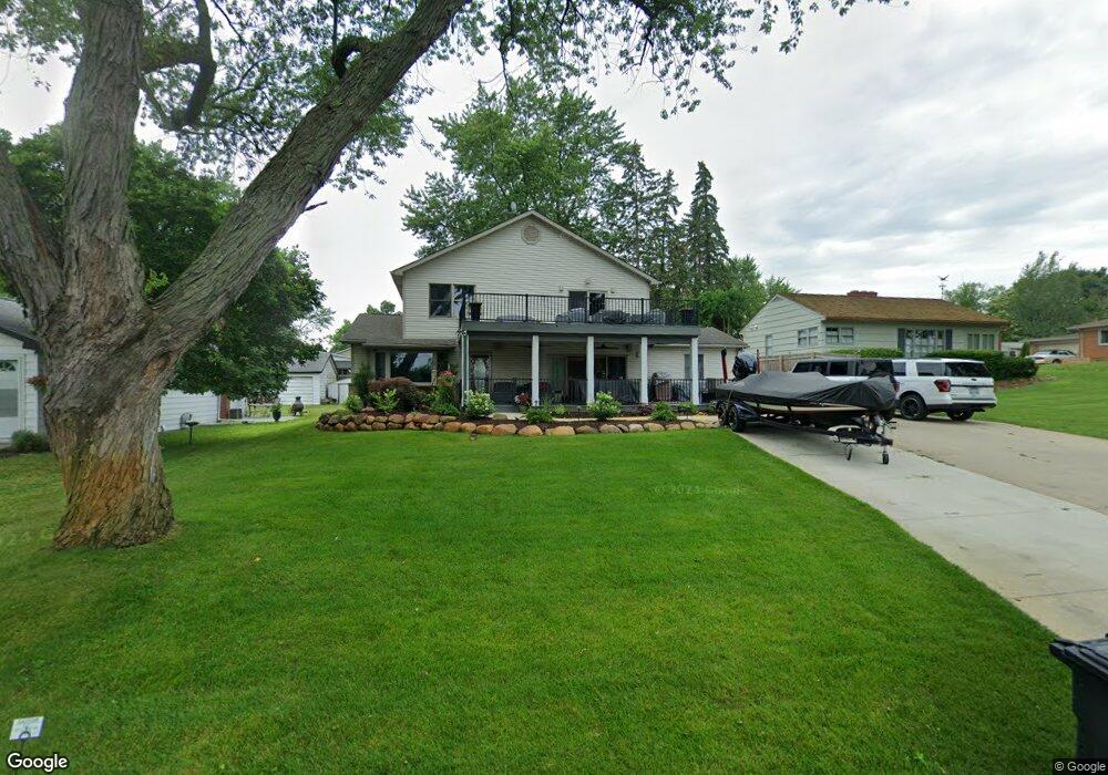
4352 Welland Dr West Bloomfield, MI 48323
Estimated Value: $293,000 - $491,000
3
Beds
3
Baths
2,532
Sq Ft
$165/Sq Ft
Est. Value
About This Home
This home is located at 4352 Welland Dr, West Bloomfield, MI 48323 and is currently estimated at $417,933, approximately $165 per square foot. 4352 Welland Dr is a home located in Oakland County with nearby schools including Walled Lake Central High School, The Susan And Rabbi Harold Loss Ecc, and Brookfield Academy - West Bloomfield.
Ownership History
Date
Name
Owned For
Owner Type
Purchase Details
Closed on
May 10, 2001
Sold by
Reid Heather A
Bought by
Oblak Allen C
Current Estimated Value
Home Financials for this Owner
Home Financials are based on the most recent Mortgage that was taken out on this home.
Original Mortgage
$108,750
Outstanding Balance
$40,727
Interest Rate
7.07%
Estimated Equity
$377,206
Purchase Details
Closed on
Aug 27, 1997
Sold by
Nelson Kenneth
Bought by
Reid Heather A
Home Financials for this Owner
Home Financials are based on the most recent Mortgage that was taken out on this home.
Original Mortgage
$92,600
Interest Rate
7.44%
Purchase Details
Closed on
Jul 31, 1996
Sold by
Nelson Dorothy A
Bought by
Nelson Dorothy A
Create a Home Valuation Report for This Property
The Home Valuation Report is an in-depth analysis detailing your home's value as well as a comparison with similar homes in the area
Home Values in the Area
Average Home Value in this Area
Purchase History
| Date | Buyer | Sale Price | Title Company |
|---|---|---|---|
| Oblak Allen C | -- | -- | |
| Reid Heather A | $93,000 | -- | |
| Nelson Dorothy A | -- | -- |
Source: Public Records
Mortgage History
| Date | Status | Borrower | Loan Amount |
|---|---|---|---|
| Open | Oblak Allen C | $108,750 | |
| Previous Owner | Reid Heather A | $92,600 |
Source: Public Records
Tax History Compared to Growth
Tax History
| Year | Tax Paid | Tax Assessment Tax Assessment Total Assessment is a certain percentage of the fair market value that is determined by local assessors to be the total taxable value of land and additions on the property. | Land | Improvement |
|---|---|---|---|---|
| 2024 | $2,643 | $209,300 | $0 | $0 |
| 2022 | $2,428 | $192,920 | $40,120 | $152,800 |
| 2021 | $4,384 | $183,890 | $0 | $0 |
| 2020 | $2,399 | $175,000 | $40,120 | $134,880 |
| 2018 | $5,139 | $146,040 | $40,120 | $105,920 |
| 2015 | -- | $126,200 | $0 | $0 |
| 2014 | -- | $117,160 | $0 | $0 |
| 2011 | -- | $102,090 | $0 | $0 |
Source: Public Records
Map
Nearby Homes
- 4442 Borland St
- 4066 Green Lake Rd
- 0000 Langtoft
- 6675 Langtoft St
- 6978 Colony Dr
- 6980 Hambro St
- 4540 Rolling Pine Ct
- 4335 Crestdale Ave
- 3991 Fieldview Ave
- 4245 Bunker Ave
- 3965 Carrick Ave
- 3950 Bradmore Ave
- 6903 Dandison Blvd
- 4212 Greendale Ave
- 7337 Richardson Rd
- 6768 Buckland Ave
- 7381 Crestmore St
- 7359 Woodlore Dr
- 3632 Fieldview Ave
- 3641 Green Lake Rd
- 4344 Welland Dr
- 4362 Welland Dr
- 6821 Playfair Terrace
- 6874 Manderson Terrace
- 6874 Manderson Trc
- 6885 Playfair Terrace
- 4332 Welland Dr
- 4372 Welland Dr
- 0000 Borland St
- 0 Borland Unit 4956871
- 0 Borland Unit 215124858
- 4320 Welland Dr
- 6890 Playfair Terrace
- 4368 Borland St
- 0000 Colony Dr
- 4408 Welland Dr
- 6908 Manderson Terrace
- 6885 Evershed Terrace