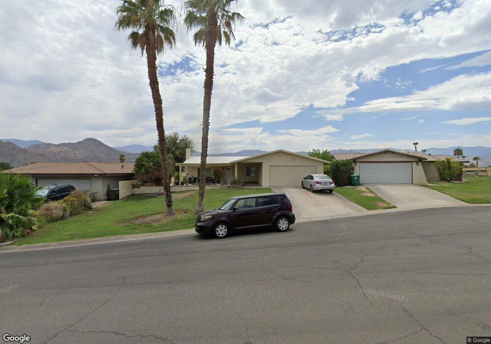
43525 Oregon Cir Palm Desert, CA 92211
Estimated Value: $372,658 - $467,000
3
Beds
2
Baths
1,269
Sq Ft
$327/Sq Ft
Est. Value
About This Home
This home is located at 43525 Oregon Cir, Palm Desert, CA 92211 and is currently estimated at $415,165, approximately $327 per square foot. 43525 Oregon Cir is a home located in Riverside County with nearby schools including Gerald R. Ford Elementary School, Colonel Mitchell Paige Middle School, and Palm Desert High School.
Ownership History
Date
Name
Owned For
Owner Type
Purchase Details
Closed on
Feb 13, 2001
Sold by
Frank James A and Frank Jo Ann L
Bought by
Frank James A and Frank Joann L
Current Estimated Value
Purchase Details
Closed on
Jun 14, 1996
Sold by
Anderson Marion J and Munson Eva A
Bought by
Frank James A and Frank Jo Ann L
Home Financials for this Owner
Home Financials are based on the most recent Mortgage that was taken out on this home.
Original Mortgage
$65,100
Interest Rate
8.33%
Mortgage Type
Purchase Money Mortgage
Create a Home Valuation Report for This Property
The Home Valuation Report is an in-depth analysis detailing your home's value as well as a comparison with similar homes in the area
Home Values in the Area
Average Home Value in this Area
Purchase History
| Date | Buyer | Sale Price | Title Company |
|---|---|---|---|
| Frank James A | -- | -- | |
| Frank James A | $93,000 | Fidelity National Title Ins |
Source: Public Records
Mortgage History
| Date | Status | Borrower | Loan Amount |
|---|---|---|---|
| Previous Owner | Frank James A | $65,100 |
Source: Public Records
Tax History Compared to Growth
Tax History
| Year | Tax Paid | Tax Assessment Tax Assessment Total Assessment is a certain percentage of the fair market value that is determined by local assessors to be the total taxable value of land and additions on the property. | Land | Improvement |
|---|---|---|---|---|
| 2025 | $2,578 | $151,428 | $48,840 | $102,588 |
| 2023 | $2,578 | $145,550 | $46,945 | $98,605 |
| 2022 | $2,398 | $142,697 | $46,025 | $96,672 |
| 2021 | $2,283 | $139,900 | $45,123 | $94,777 |
| 2020 | $2,249 | $138,467 | $44,661 | $93,806 |
| 2019 | $2,212 | $135,753 | $43,786 | $91,967 |
| 2018 | $2,175 | $133,092 | $42,928 | $90,164 |
| 2017 | $2,134 | $130,484 | $42,087 | $88,397 |
| 2016 | $2,091 | $127,926 | $41,262 | $86,664 |
| 2015 | $2,080 | $126,007 | $40,644 | $85,363 |
| 2014 | $1,924 | $123,541 | $39,849 | $83,692 |
Source: Public Records
Map
Nearby Homes
- 76718 Kentucky Ave
- 76726 Kentucky Ave
- 76826 California Dr
- 76835 Oklahoma Ave
- 76701 California Dr
- 76937 California Dr
- 42795 Tennessee Ave
- 76954 Florida Ave
- 77310 Colorado St
- 77034 California Dr
- 77125 Indiana Ave
- 77405 Colorado St
- 77140 Florida Ave
- 76645 Sheba Way
- 42706 Liolios Dr
- 76357 Via Chianti
- 77245 Indiana Ave
- 76591 Rudy Ct
- 42895 Scirocco Rd
- 42588 Edessa St
- 43535 Oregon Cir
- 43515 Oregon Cir
- 43505 Oregon Cir
- 43530 Oregon Cir
- 43520 Oregon Cir
- 43510 Oregon Cir
- 76747 Kentucky Ave
- 76733 Kentucky Ave
- 76750 Kentucky Ave
- 76719 Kentucky Ave
- 76764 Kentucky Ave
- 76775 Kentucky Ave
- 76789 Kentucky Ave
- 76740 California Dr
- 76734 California Dr
- 76747 Oklahoma Ave
- 76756 California Dr
- 76755 Oklahoma Ave
- 76726 California Dr
- 76739 Oklahoma Ave