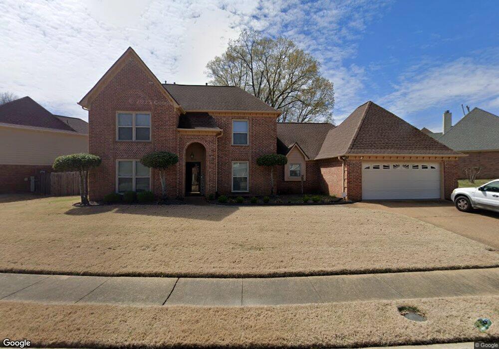
4353 Richmond Cir S Memphis, TN 38125
Southern Shelby County NeighborhoodEstimated Value: $294,268 - $352,000
3
Beds
3
Baths
2,822
Sq Ft
$112/Sq Ft
Est. Value
About This Home
This home is located at 4353 Richmond Cir S, Memphis, TN 38125 and is currently estimated at $317,317, approximately $112 per square foot. 4353 Richmond Cir S is a home located in Shelby County with nearby schools including Lowrance Elementary School, Southwind High School, and Power Center Academy - Southeast.
Ownership History
Date
Name
Owned For
Owner Type
Purchase Details
Closed on
Aug 23, 2000
Sold by
Grossett John A and Grossett Debra L
Bought by
Smith Sam M and Smith Mary D
Current Estimated Value
Home Financials for this Owner
Home Financials are based on the most recent Mortgage that was taken out on this home.
Original Mortgage
$179,550
Outstanding Balance
$76,550
Interest Rate
10.75%
Estimated Equity
$240,767
Purchase Details
Closed on
Nov 23, 1998
Sold by
Alaina Abedalsalam A and Alaina Amal A
Bought by
Grossett John A and Grossett Debra L
Home Financials for this Owner
Home Financials are based on the most recent Mortgage that was taken out on this home.
Original Mortgage
$170,900
Interest Rate
6.84%
Purchase Details
Closed on
Jul 12, 1995
Bought by
Alaina Abedalsalam A and Alaina Ama
Purchase Details
Closed on
Jul 29, 1994
Bought by
Harding Paul C and Harding Lorraine
Create a Home Valuation Report for This Property
The Home Valuation Report is an in-depth analysis detailing your home's value as well as a comparison with similar homes in the area
Home Values in the Area
Average Home Value in this Area
Purchase History
| Date | Buyer | Sale Price | Title Company |
|---|---|---|---|
| Smith Sam M | $189,000 | -- | |
| Grossett John A | $179,900 | Equity Title & Escrow Co | |
| Alaina Abedalsalam A | $165,500 | -- | |
| Harding Paul C | $163,900 | -- |
Source: Public Records
Mortgage History
| Date | Status | Borrower | Loan Amount |
|---|---|---|---|
| Open | Smith Sam M | $179,550 | |
| Previous Owner | Grossett John A | $170,900 |
Source: Public Records
Tax History Compared to Growth
Tax History
| Year | Tax Paid | Tax Assessment Tax Assessment Total Assessment is a certain percentage of the fair market value that is determined by local assessors to be the total taxable value of land and additions on the property. | Land | Improvement |
|---|---|---|---|---|
| 2025 | $1,803 | $72,475 | $12,000 | $60,475 |
| 2024 | $1,803 | $53,175 | $8,300 | $44,875 |
| 2023 | $1,803 | $53,175 | $8,300 | $44,875 |
| 2022 | $1,803 | $53,175 | $8,300 | $44,875 |
| 2021 | $1,835 | $53,175 | $8,300 | $44,875 |
| 2020 | $1,618 | $39,950 | $8,300 | $31,650 |
| 2019 | $1,618 | $39,950 | $8,300 | $31,650 |
| 2018 | $1,618 | $39,950 | $8,300 | $31,650 |
| 2017 | $1,642 | $39,950 | $8,300 | $31,650 |
| 2016 | $1,638 | $37,475 | $0 | $0 |
| 2014 | $1,638 | $37,475 | $0 | $0 |
Source: Public Records
Map
Nearby Homes
- 4294 Thunderstone Cir W
- 4471 Hughes Meadow Dr
- 4333 Rainey Woods Cove
- 4419 Berkley Woods Dr
- 7527 Wilsford Cove
- 4316 Barry Meadows Cove
- 7561 Shelby Cross Cir
- 4646 Sweet Whisper Ln
- 7421 Richmond Rd
- 4028 Long Creek Rd
- 4310 Coral Creek Ln
- 7579 Baysweet Dr
- 7395 Old Dominion Ct
- 3912 Autumn Harvest Ln
- 7286 New Britain Dr
- 4768 Gertrude Dr
- 7321 Stonington Dr
- 4764 Buttermilk Dr
- 4826 Callaway Hills Dr
- 4512 S Germantown Rd
- 4363 Richmond Cir S
- 7713 Richmond Cir N
- 4350 Richmond Cir S
- 4373 Richmond Cir S
- 7701 Richmond Cir N
- 7654 Carter Creek Cove
- 7716 Richmond Cir N
- 4366 Richmond Cir S
- 7648 Carter Creek Cove
- 7706 Richmond Cir N
- 7695 Richmond Cir N
- 4372 Richmond Cir S
- 7700 Richmond Cir N
- 7690 Carter Creek Cove
- 7726 Rich Creek Cove
- 7680 Carter Creek Cove
- 7727 Rich Creek Cove
- 4380 Richmond Cir S
- 7660 Carter Creek Cove
- 7685 Richmond Cir N