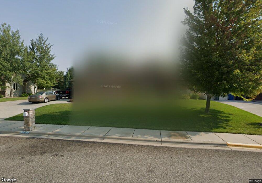
4355 Rangeview Dr Billings, MT 59106
West Shiloh NeighborhoodEstimated Value: $650,000 - $866,000
4
Beds
3
Baths
4,146
Sq Ft
$176/Sq Ft
Est. Value
About This Home
This home is located at 4355 Rangeview Dr, Billings, MT 59106 and is currently estimated at $730,878, approximately $176 per square foot. 4355 Rangeview Dr is a home located in Yellowstone County with nearby schools including Arrowhead School, Ben Steele Middle School, and Billings West High School.
Ownership History
Date
Name
Owned For
Owner Type
Purchase Details
Closed on
Oct 16, 2014
Sold by
Zoanni David A and Zoanni David A
Bought by
Cantrell Victor G
Current Estimated Value
Home Financials for this Owner
Home Financials are based on the most recent Mortgage that was taken out on this home.
Original Mortgage
$417,000
Outstanding Balance
$319,456
Interest Rate
4.08%
Mortgage Type
New Conventional
Estimated Equity
$411,422
Purchase Details
Closed on
May 1, 2008
Sold by
Jeff Junkert Construction Inc
Bought by
Zoanni David A and Zoanni Janet A
Home Financials for this Owner
Home Financials are based on the most recent Mortgage that was taken out on this home.
Original Mortgage
$375,920
Interest Rate
5.81%
Mortgage Type
Purchase Money Mortgage
Create a Home Valuation Report for This Property
The Home Valuation Report is an in-depth analysis detailing your home's value as well as a comparison with similar homes in the area
Home Values in the Area
Average Home Value in this Area
Purchase History
| Date | Buyer | Sale Price | Title Company |
|---|---|---|---|
| Cantrell Victor G | -- | -- | |
| Cantrell Victor G | -- | -- | |
| Zoanni David A | -- | None Available |
Source: Public Records
Mortgage History
| Date | Status | Borrower | Loan Amount |
|---|---|---|---|
| Open | Cantrell Victor G | $417,000 | |
| Closed | Cantrell Victor G | $417,000 | |
| Previous Owner | Zoanni David A | $375,920 |
Source: Public Records
Tax History
| Year | Tax Paid | Tax Assessment Tax Assessment Total Assessment is a certain percentage of the fair market value that is determined by local assessors to be the total taxable value of land and additions on the property. | Land | Improvement |
|---|---|---|---|---|
| 2025 | $6,094 | $659,500 | $117,484 | $542,016 |
| 2024 | $6,094 | $615,400 | $104,838 | $510,562 |
| 2023 | $6,056 | $615,400 | $104,838 | $510,562 |
| 2022 | $5,475 | $487,700 | $0 | $0 |
| 2021 | $5,202 | $487,700 | $0 | $0 |
| 2020 | $5,300 | $475,400 | $0 | $0 |
| 2019 | $5,064 | $475,400 | $0 | $0 |
| 2018 | $5,288 | $490,000 | $0 | $0 |
| 2017 | $5,080 | $490,000 | $0 | $0 |
| 2016 | $4,456 | $434,300 | $0 | $0 |
| 2015 | $4,395 | $434,300 | $0 | $0 |
| 2014 | $4,619 | $245,019 | $0 | $0 |
Source: Public Records
Map
Nearby Homes
- 2213 Westfield Dr
- 2301 Elsa Dr
- 4520 Poly Dr
- 2631 Country Ln
- 4126 Julaura Ln
- 2605 Westfield Dr
- 2106 Shiloh Rd
- 4044 Backwoods Dr
- 2514 Mountain Range Ct
- 4649 N Hollow Brook Dr
- 3940 Fairmeadow Dr
- 5097 Audubon Way
- 4816 Silver Creek Trail
- 4902 Silver Creek Trail
- 2514 Silver Pine Ct
- 2518 Silver Pine Ct
- 3854 Avenue E
- 4713 Rimrock Rd
- 3865 Avenue C
- 2529 Buffalo Ridge Trail
- 4337 Rangeview Dr
- 4371 Rangeview Dr
- 4328 Huckleberry Ln S
- 4342 Huckleberry Ln S
- 4316 Huckleberry Ln S
- 4342 Rangeview Dr
- 4321 Rangeview Dr
- 4370 Rangeview Dr
- 4389 Rangeview Dr
- 4330 Rangeview Dr
- 2238 Larchwood Ln
- 4356 Huckleberry Ln S
- 4302 Huckleberry Ln S
- 4331 Huckleberry Ln S
- 4396 Rangeview Dr
- 4405 Rangeview Dr
- 4305 Huckleberry Ln S
- 2393 Larchwood Ln
- 4318 Rangeview Dr
- 2181 Pheasant Place
Your Personal Tour Guide
Ask me questions while you tour the home.