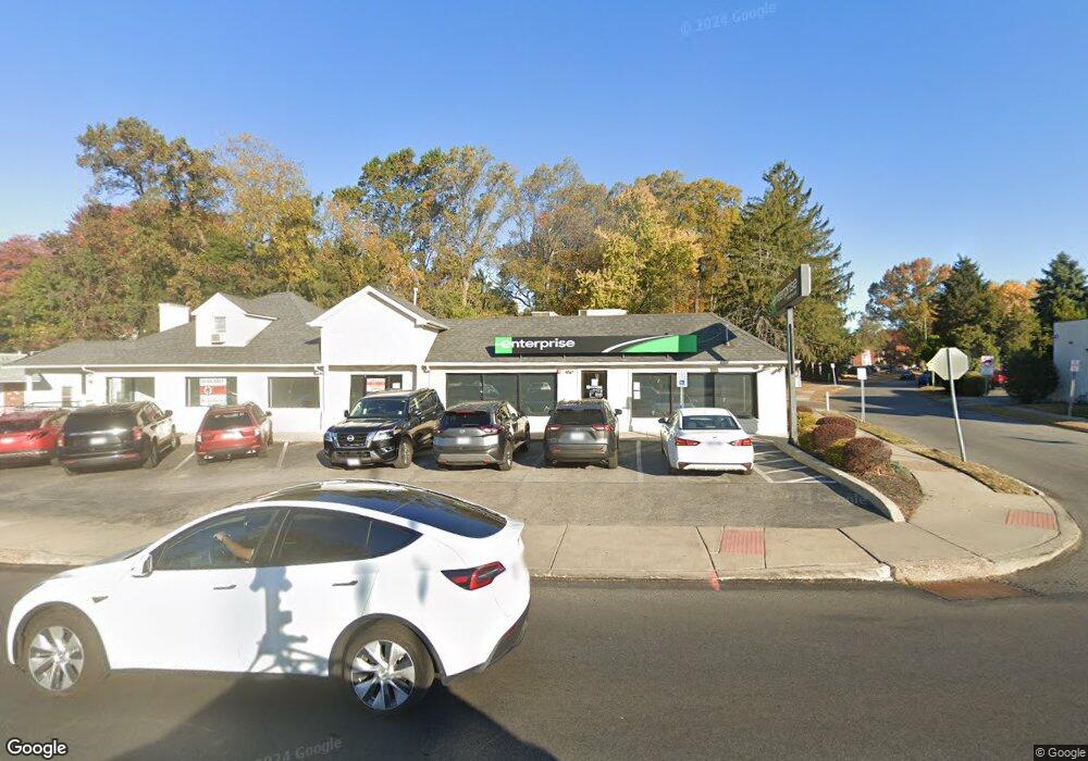
436 Baltimore Pike Springfield, PA 19064
Estimated Value: $1,630,076
--
Bed
--
Bath
4,959
Sq Ft
$329/Sq Ft
Est. Value
About This Home
This home is located at 436 Baltimore Pike, Springfield, PA 19064 and is currently estimated at $1,630,076, approximately $328 per square foot. 436 Baltimore Pike is a home located in Delaware County with nearby schools including Springfield High School, St Francis Of Assisi School, and Holy Cross School.
Ownership History
Date
Name
Owned For
Owner Type
Purchase Details
Closed on
May 24, 2012
Sold by
Kutney Eleanor
Bought by
Axion Investments Llc
Current Estimated Value
Home Financials for this Owner
Home Financials are based on the most recent Mortgage that was taken out on this home.
Original Mortgage
$590,000
Outstanding Balance
$408,781
Interest Rate
3.9%
Mortgage Type
Future Advance Clause Open End Mortgage
Estimated Equity
$1,221,295
Create a Home Valuation Report for This Property
The Home Valuation Report is an in-depth analysis detailing your home's value as well as a comparison with similar homes in the area
Home Values in the Area
Average Home Value in this Area
Purchase History
| Date | Buyer | Sale Price | Title Company |
|---|---|---|---|
| Axion Investments Llc | $825,000 | None Available |
Source: Public Records
Mortgage History
| Date | Status | Borrower | Loan Amount |
|---|---|---|---|
| Open | Axion Investments Llc | $590,000 |
Source: Public Records
Tax History Compared to Growth
Tax History
| Year | Tax Paid | Tax Assessment Tax Assessment Total Assessment is a certain percentage of the fair market value that is determined by local assessors to be the total taxable value of land and additions on the property. | Land | Improvement |
|---|---|---|---|---|
| 2025 | $18,127 | $644,920 | $383,940 | $260,980 |
| 2024 | $18,127 | $644,920 | $383,940 | $260,980 |
| 2023 | $17,454 | $644,920 | $383,940 | $260,980 |
| 2022 | $17,077 | $644,920 | $383,940 | $260,980 |
| 2021 | $26,446 | $644,920 | $383,940 | $260,980 |
| 2020 | $28,811 | $635,820 | $351,940 | $283,880 |
| 2019 | $28,135 | $635,820 | $351,940 | $283,880 |
| 2018 | $27,732 | $635,820 | $0 | $0 |
| 2017 | $27,091 | $635,820 | $0 | $0 |
| 2016 | $3,489 | $635,820 | $0 | $0 |
| 2015 | $3,561 | $635,820 | $0 | $0 |
| 2014 | $3,561 | $594,000 | $0 | $0 |
Source: Public Records
Map
Nearby Homes
- 243 Rambling Way
- 979 Edgewood Dr
- 1045 West Ave
- 142 Rambling Way
- 332 Franklin Ave
- 240 Beechwood Rd
- 304 Providence Rd
- 268 Beechwood Rd
- 624 Country Ln
- 225 Lynbrooke Rd
- 214 Lynbrooke Rd
- 342 E Springfield Rd
- 230 Ridgewood Rd
- 511 Rodney Ln
- 306 E Springfield Rd
- 601 Country Ln
- 306 School St
- 223 Harding Ave
- 251 Powell Rd
- 246 Pennington Ave
- 360 Rambling Way
- 715 Lehann Cir
- 723 Lehann Cir
- 424 Baltimore Pike
- 711 Lehann Cir
- 354 Rambling Way
- 443 Garden Rd
- 355 Rambling Way
- 348 Rambling Way
- 500-508 Baltimore Pike
- 508 Baltimore Pike
- 349 Rambling Way
- 342 Rambling Way
- 437 Garden Rd
- 345 Rambling Way
- 710 Lehann Cir
- 429 Garden Rd
- 425 Garden Rd
- 338 Rambling Way
- 341 Rambling Way