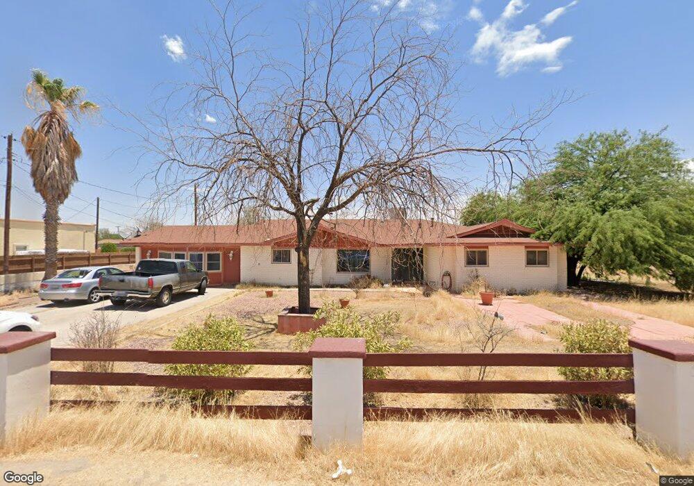
436 Fresno Dr El Paso, TX 79907
Shawver Park NeighborhoodEstimated Value: $220,000 - $261,325
--
Bed
2
Baths
2,154
Sq Ft
$114/Sq Ft
Est. Value
About This Home
This home is located at 436 Fresno Dr, El Paso, TX 79907 and is currently estimated at $246,581, approximately $114 per square foot. 436 Fresno Dr is a home located in El Paso County with nearby schools including Pasodale Elementary School, Rio Bravo Middle School, and Ysleta Middle School.
Ownership History
Date
Name
Owned For
Owner Type
Purchase Details
Closed on
Jun 29, 1999
Sold by
Newby Ervin
Bought by
Villegas Jesusita and Newby Jesusita
Current Estimated Value
Purchase Details
Closed on
Sep 2, 1994
Sold by
Archuleta Guadalupe and Archuleta Ana
Bought by
Villegas Jesusita
Home Financials for this Owner
Home Financials are based on the most recent Mortgage that was taken out on this home.
Original Mortgage
$52,000
Interest Rate
8.52%
Mortgage Type
Seller Take Back
Create a Home Valuation Report for This Property
The Home Valuation Report is an in-depth analysis detailing your home's value as well as a comparison with similar homes in the area
Home Values in the Area
Average Home Value in this Area
Purchase History
| Date | Buyer | Sale Price | Title Company |
|---|---|---|---|
| Villegas Jesusita | -- | -- | |
| Villegas Jesusita | -- | -- |
Source: Public Records
Mortgage History
| Date | Status | Borrower | Loan Amount |
|---|---|---|---|
| Closed | Villegas Jesusita | $52,000 |
Source: Public Records
Tax History Compared to Growth
Tax History
| Year | Tax Paid | Tax Assessment Tax Assessment Total Assessment is a certain percentage of the fair market value that is determined by local assessors to be the total taxable value of land and additions on the property. | Land | Improvement |
|---|---|---|---|---|
| 2025 | $2,592 | $222,954 | -- | -- |
| 2024 | $2,592 | $202,685 | -- | -- |
| 2023 | $2,487 | $184,259 | $0 | $0 |
| 2022 | $5,202 | $167,508 | $0 | $0 |
| 2021 | $4,950 | $173,478 | $29,576 | $143,902 |
| 2020 | $4,373 | $138,436 | $29,576 | $108,860 |
| 2018 | $4,274 | $137,440 | $29,576 | $107,864 |
| 2017 | $3,870 | $126,622 | $29,576 | $97,046 |
| 2016 | $3,870 | $126,622 | $29,576 | $97,046 |
| 2015 | $2,580 | $126,622 | $29,576 | $97,046 |
| 2014 | $2,580 | $128,528 | $29,576 | $98,952 |
Source: Public Records
Map
Nearby Homes
- 8141 Lowd Ave
- 578 Cora Place
- 8162 Josephine Cir
- 8165 Josephine Cir
- 227 Galvan Place
- 8250 Mc Elroy Ave
- 7840 Mansfield Ave
- 261 Columbia Ave
- 7920 Porche St
- 8041 Broadway Dr
- 7925 Broadway Dr
- 7952 Broadway Dr
- 7907 Alameda Ave
- 7860 Porche St
- 7874 Broadway Dr
- 8405 Pinon St
- 405 Lafayette Dr
- 7807 Porche St
- 8138 Saint Andrew Ln Unit ABCD
- 228 Harvard Ave