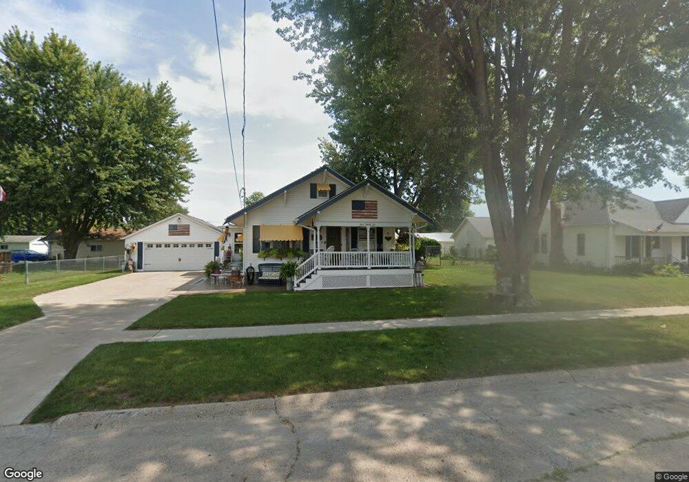
436 N Pocahontas St Ottumwa, IA 52501
Estimated Value: $97,000 - $145,810
2
Beds
3
Baths
988
Sq Ft
$121/Sq Ft
Est. Value
About This Home
This home is located at 436 N Pocahontas St, Ottumwa, IA 52501 and is currently estimated at $119,703, approximately $121 per square foot. 436 N Pocahontas St is a home located in Wapello County with nearby schools including Liberty Elementary School, Douma Elementary School, and Evans Middle School.
Ownership History
Date
Name
Owned For
Owner Type
Purchase Details
Closed on
Aug 21, 2007
Sold by
Deitch Steven C and Deitch Joyce A
Bought by
Richards Canniel L
Current Estimated Value
Home Financials for this Owner
Home Financials are based on the most recent Mortgage that was taken out on this home.
Original Mortgage
$50,000
Outstanding Balance
$31,754
Interest Rate
6.72%
Estimated Equity
$87,949
Create a Home Valuation Report for This Property
The Home Valuation Report is an in-depth analysis detailing your home's value as well as a comparison with similar homes in the area
Home Values in the Area
Average Home Value in this Area
Purchase History
| Date | Buyer | Sale Price | Title Company |
|---|---|---|---|
| Richards Canniel L | $84,000 | None Available |
Source: Public Records
Mortgage History
| Date | Status | Borrower | Loan Amount |
|---|---|---|---|
| Open | Richards Canniel L | $50,000 |
Source: Public Records
Tax History Compared to Growth
Tax History
| Year | Tax Paid | Tax Assessment Tax Assessment Total Assessment is a certain percentage of the fair market value that is determined by local assessors to be the total taxable value of land and additions on the property. | Land | Improvement |
|---|---|---|---|---|
| 2025 | $2,146 | $131,440 | $12,540 | $118,900 |
| 2024 | $2,146 | $122,860 | $12,540 | $110,320 |
| 2023 | $2,116 | $122,860 | $12,540 | $110,320 |
| 2022 | $2,086 | $97,470 | $12,540 | $84,930 |
| 2021 | $2,298 | $90,500 | $12,540 | $77,960 |
| 2020 | $1,870 | $81,500 | $12,540 | $68,960 |
| 2019 | $1,916 | $81,500 | $0 | $0 |
| 2018 | $1,854 | $81,500 | $0 | $0 |
| 2017 | $1,898 | $81,500 | $0 | $0 |
| 2016 | $1,896 | $84,556 | $0 | $0 |
| 2015 | $1,898 | $84,556 | $0 | $0 |
| 2014 | -- | $84,556 | $0 | $0 |
Source: Public Records
Map
Nearby Homes
- 1005 Hamilton St
- 433 W Finley Ave
- 448 Mckinley Ave
- 138 Minnesota St
- 1401 W Finley Ave
- 319 Hamilton St
- 1322 Mowrey Ave
- 117 Lynwood Ave
- 1508 Hamilton St
- 1502 W Finley Ave
- 1522 Greenwood Dr
- 1507 Mowrey Ave
- 1409 Swanson Ave
- 9 Kingsley Dr
- 420 S Ferry St
- 120 Shaul Ave
- 1441 Casa Blanca Ln
- 439 Wildwood Dr
- 1903 Mowrey Ave
- 202 N Moore St
- 446 N Pocahontas St
- 430 N Pocahontas St
- 409 Logan St
- 409 Logan St
- 428 N Pocahontas St
- 422 N Pocahontas St
- 443 N Pocahontas St
- 842 Richmond Ave
- 433 N Pocahontas St
- 445 N Pocahontas St
- 846 Richmond Ave
- 838 Richmond Ave
- 429 N Pocahontas St
- 447 N Pocahontas St
- 834 Richmond Ave
- 824 Richmond Ave
- 412 N Pocahontas St
- 906 Richmond Ave
- 830 Richmond Ave
- 902 Richmond Ave