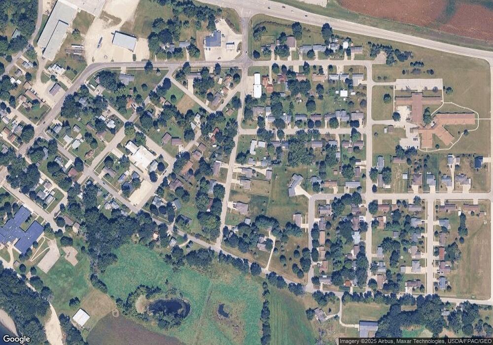
436 N Public Rd Shell Rock, IA 50670
Estimated Value: $312,000 - $1,071,812
3
Beds
3
Baths
1,232
Sq Ft
$424/Sq Ft
Est. Value
About This Home
This home is located at 436 N Public Rd, Shell Rock, IA 50670 and is currently estimated at $522,953, approximately $424 per square foot. 436 N Public Rd is a home located in Butler County with nearby schools including Waverly-Shell Rock Senior High School.
Ownership History
Date
Name
Owned For
Owner Type
Purchase Details
Closed on
Aug 15, 2024
Sold by
Reints Thomas F and Reints Daniel J
Bought by
Reints Thomas F
Current Estimated Value
Purchase Details
Closed on
Jun 14, 2019
Sold by
Reints Farms Llc
Bought by
Reints Frank H
Purchase Details
Closed on
May 21, 2015
Sold by
Even Par Properties Llc
Bought by
Kleve Chad
Home Financials for this Owner
Home Financials are based on the most recent Mortgage that was taken out on this home.
Original Mortgage
$199,703
Interest Rate
3.64%
Mortgage Type
New Conventional
Create a Home Valuation Report for This Property
The Home Valuation Report is an in-depth analysis detailing your home's value as well as a comparison with similar homes in the area
Home Values in the Area
Average Home Value in this Area
Purchase History
| Date | Buyer | Sale Price | Title Company |
|---|---|---|---|
| Reints Thomas F | -- | None Listed On Document | |
| Reints Frank H | $1,207,000 | -- | |
| Kleve Chad | $195,500 | None Available |
Source: Public Records
Mortgage History
| Date | Status | Borrower | Loan Amount |
|---|---|---|---|
| Previous Owner | Kleve Chad | $199,703 |
Source: Public Records
Tax History Compared to Growth
Tax History
| Year | Tax Paid | Tax Assessment Tax Assessment Total Assessment is a certain percentage of the fair market value that is determined by local assessors to be the total taxable value of land and additions on the property. | Land | Improvement |
|---|---|---|---|---|
| 2024 | $4,898 | $306,870 | $17,490 | $289,380 |
| 2023 | $4,664 | $306,870 | $17,490 | $289,380 |
| 2022 | $4,436 | $248,290 | $17,490 | $230,800 |
| 2021 | $4,212 | $248,290 | $17,490 | $230,800 |
| 2020 | $4,212 | $226,220 | $17,490 | $208,730 |
| 2019 | $3,980 | $210,030 | $0 | $0 |
| 2018 | $3,908 | $210,030 | $0 | $0 |
| 2017 | $3,908 | $210,850 | $0 | $0 |
Source: Public Records
Map
Nearby Homes
- 403 E Jackson St
- 327 E Mindy Dr
- 214 Elliot Ave
- 220 Elliot Ave
- 1124 Lozmar Ln
- 1125 Lozmar Ln
- 1130 Lozmar Ln
- 218 Harvest Ln
- 21164 Woodridge Ln
- 21250 Woodridge Ln
- 21146 Woodridge Ln
- 21161 Woodridge Ln
- 21273 Woodridge Ln
- 1065 230th St
- 21269 Woodridge Ln
- 21165 Woodridge Ln
- 21109 Woodridge Ln
- 2425 Bishop Ave
- 2412 W Bremer Ave
- 304 Park 26th St NW
- 512 N Public Rd
- 430 N Public Rd
- 518 N Public Rd
- 410 E Barbara St
- 435 N Plainview St
- 416 E Barbara St
- 420 N Public Rd
- 505 N Public Rd
- 522 N Williams St
- 522 N Williams St
- 425 N Public Rd
- 424 E Barbara St
- 421 N Plainview St
- 421 E Grove St
- 508 N Williams St
- 608 N Public Rd
- 415 N Public Rd
- 409 E Barbara St
- 504 E Barbara St
- 604 N Williams St
