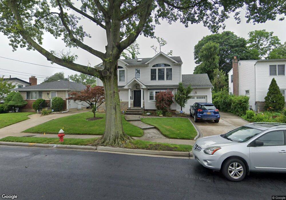
436 Pinebrook Ave West Hempstead, NY 11552
Estimated Value: $722,113 - $759,000
4
Beds
2
Baths
1,760
Sq Ft
$421/Sq Ft
Est. Value
About This Home
This home is located at 436 Pinebrook Ave, West Hempstead, NY 11552 and is currently estimated at $740,557, approximately $420 per square foot. 436 Pinebrook Ave is a home located in Nassau County with nearby schools including Davison Avenue Intermediate School, Maurice W. Downing Primary K-2 School, and Howard T Herber Middle School.
Ownership History
Date
Name
Owned For
Owner Type
Purchase Details
Closed on
Apr 26, 2018
Sold by
Neal Charlie and Neal Gloria
Bought by
Gadit Farhan and Gadit Humamah
Current Estimated Value
Home Financials for this Owner
Home Financials are based on the most recent Mortgage that was taken out on this home.
Original Mortgage
$300,000
Outstanding Balance
$258,548
Interest Rate
4.44%
Mortgage Type
New Conventional
Estimated Equity
$482,009
Create a Home Valuation Report for This Property
The Home Valuation Report is an in-depth analysis detailing your home's value as well as a comparison with similar homes in the area
Home Values in the Area
Average Home Value in this Area
Purchase History
| Date | Buyer | Sale Price | Title Company |
|---|---|---|---|
| Gadit Farhan | $375,000 | Omni Title |
Source: Public Records
Mortgage History
| Date | Status | Borrower | Loan Amount |
|---|---|---|---|
| Open | Gadit Farhan | $300,000 |
Source: Public Records
Tax History
| Year | Tax Paid | Tax Assessment Tax Assessment Total Assessment is a certain percentage of the fair market value that is determined by local assessors to be the total taxable value of land and additions on the property. | Land | Improvement |
|---|---|---|---|---|
| 2025 | $12,340 | $413 | $170 | $243 |
| 2024 | $4,150 | $404 | $166 | $238 |
Source: Public Records
Map
Nearby Homes
- 461 Pinebrook Ave
- 1095 Pinebrook Ct
- 480 Hopatcong Ave
- 1024 Mahopac Rd
- 1090 Pinebrook Ct
- 7 Hopatcong Ave
- 362 Langdon Blvd
- 402 Clinton Ave
- 486 Champlain Ave
- 485 Barbara Ln
- 529 Clinton Ave
- 501 Lafayette Ave
- 492 Pershing Blvd
- 312 Coventry Rd S
- 49 Carol St
- 945 Derrick Adkins Ln
- 841 Woodfield Rd
- 450 Rhodes Ln
- 55 Melvin Ave
- 65 Lakeside Dr
- 442 Pinebrook Ave
- 430 Pinebrook Ave
- 430 Pinebrook Ave
- 11 Scaneateles Ave
- 456 Pinebrook Ave
- 1073 Mahopac Rd
- 427 Scaneateles Ave
- 441 Pinebrook Ave
- 12 Pinebrook Ave
- 1078 Christopher Ct
- 449 Scaneateles Ave
- 421 Scaneateles Ave
- 447 Pinebrook Ave
- 10 Pinebrook Ave
- 453 Pinebrook Ave
- 415 Scaneateles Ave
- 1077 Christopher Ct
- 464 Pinebrook Ave
- 1076 Mahopac Rd
- 432 Scaneateles Ave
Your Personal Tour Guide
Ask me questions while you tour the home.