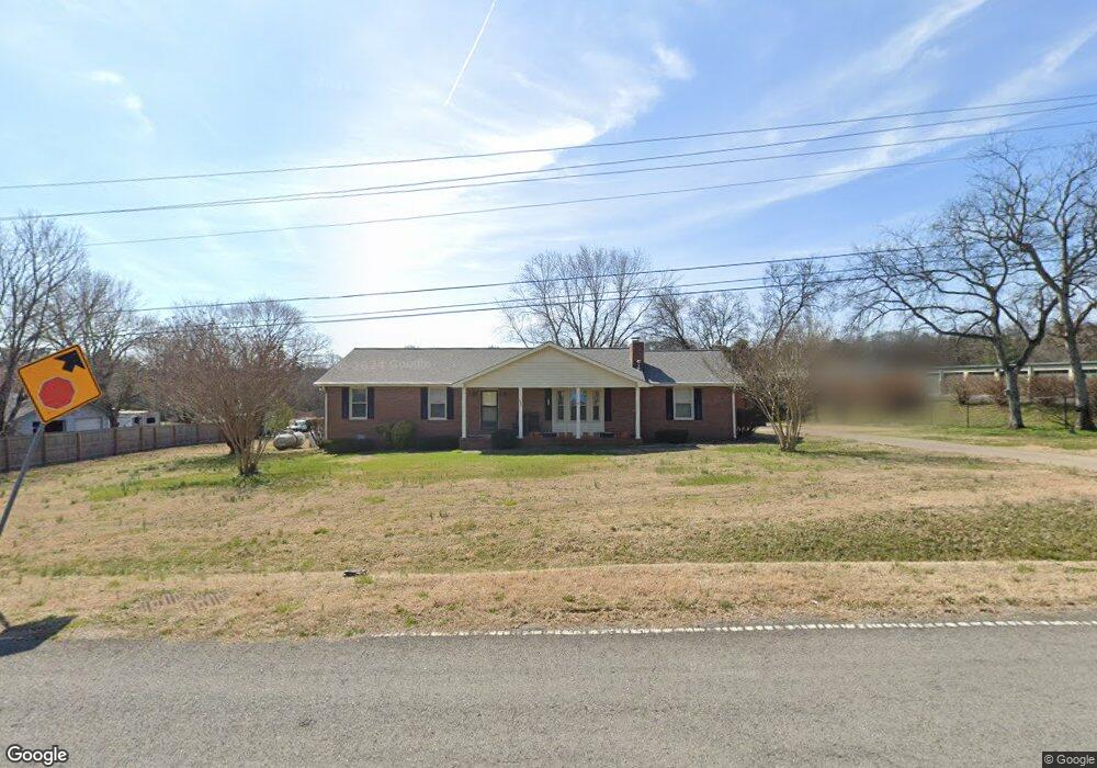
436 Quarry Loop Rd Mount Juliet, TN 37122
Estimated Value: $497,956 - $823,000
--
Bed
2
Baths
2,068
Sq Ft
$302/Sq Ft
Est. Value
About This Home
This home is located at 436 Quarry Loop Rd, Mount Juliet, TN 37122 and is currently estimated at $624,739, approximately $302 per square foot. 436 Quarry Loop Rd is a home located in Wilson County with nearby schools including Stoner Creek Elementary School, West Wilson Middle School, and Mt. Juliet High School.
Ownership History
Date
Name
Owned For
Owner Type
Purchase Details
Closed on
Sep 29, 2006
Sold by
Maynard James K
Bought by
S E M Associates Llc
Current Estimated Value
Purchase Details
Closed on
Apr 27, 2005
Sold by
Maynard Eddie H
Bought by
State Of Tennessee
Purchase Details
Closed on
Apr 29, 1997
Sold by
Darryl Simmons Jonas
Bought by
Darryl Simmons Jonas
Purchase Details
Closed on
May 25, 1960
Bought by
Maynard James K and Maynard Eddie
Purchase Details
Closed on
May 22, 1944
Create a Home Valuation Report for This Property
The Home Valuation Report is an in-depth analysis detailing your home's value as well as a comparison with similar homes in the area
Home Values in the Area
Average Home Value in this Area
Purchase History
| Date | Buyer | Sale Price | Title Company |
|---|---|---|---|
| S E M Associates Llc | $900,000 | -- | |
| State Of Tennessee | -- | -- | |
| Darryl Simmons Jonas | $40,000 | -- | |
| Maynard James K | -- | -- | |
| -- | -- | -- |
Source: Public Records
Tax History Compared to Growth
Tax History
| Year | Tax Paid | Tax Assessment Tax Assessment Total Assessment is a certain percentage of the fair market value that is determined by local assessors to be the total taxable value of land and additions on the property. | Land | Improvement |
|---|---|---|---|---|
| 2024 | $1,168 | $61,175 | $13,850 | $47,325 |
| 2022 | $1,587 | $61,175 | $13,850 | $47,325 |
| 2021 | $1,587 | $61,175 | $13,850 | $47,325 |
| 2020 | $1,567 | $61,175 | $13,850 | $47,325 |
| 2019 | $398 | $46,425 | $10,700 | $35,725 |
| 2018 | $1,451 | $46,425 | $10,700 | $35,725 |
| 2017 | $1,451 | $46,425 | $10,700 | $35,725 |
| 2016 | $1,451 | $46,425 | $10,700 | $35,725 |
| 2015 | $1,193 | $46,425 | $10,700 | $35,725 |
| 2014 | $1,111 | $43,210 | $0 | $0 |
Source: Public Records
Map
Nearby Homes
- 3 Lebanon Rd
- 0 Lebanon Rd
- 2895 Landon Dr
- 0 Lebanon Rd Unit RTC2820443
- 0 Lebanon Rd Unit RTC2760492
- 0 Lebanon Rd Unit RTC2505567
- 223 Limestone Way
- 228 Limestone Way
- 226 Limestone Way
- 224 Limestone Way
- 215 Limestone Way
- 220 Limestone Way
- 213 Limestone Way
- 211 Limestone Way
- Livingston Plan at Cades Bluff
- Bledsoe Plan at Cades Bluff
- Brentley Plan at Cades Bluff
- Montgomery Plan at Cades Bluff
- Westmore Plan at Cades Bluff
- Brunswick Plan at Cades Bluff
- 466 Quarry Loop Rd
- 3450 Tennessee 109
- 3450 Highway 109 N
- 368 Quarry Loop Rd
- 0 Old Laguardo Rd W
- 3325 Tennessee 109
- 238 Quarry Loop Rd
- 63 Martha Cir
- 3301 Highway 109
- 3301 Highway 109 N
- 65 Martha Cir
- 1 Quarry Rd
- 67 Quarry Rd
- 231 Quarry Rd
- 84 Quarry Rd
- 3210 Highway 109 N
- 245 Quarry Rd
- 6705 Lebanon Rd
- 5 Lebanon Rd
- 2 Lebanon Rd