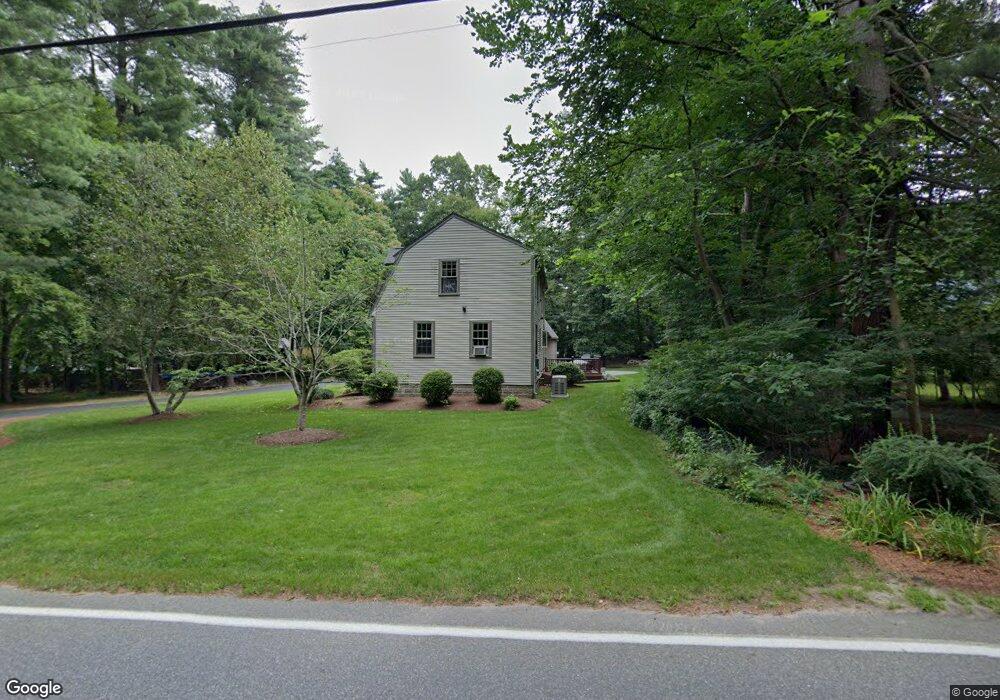
436 State St Hanson, MA 02341
Estimated Value: $686,816 - $762,000
4
Beds
2
Baths
1,928
Sq Ft
$373/Sq Ft
Est. Value
About This Home
This home is located at 436 State St, Hanson, MA 02341 and is currently estimated at $718,704, approximately $372 per square foot. 436 State St is a home located in Plymouth County with nearby schools including Cadence Academy Preschool - Hanover and Cardinal Cushing Centers.
Ownership History
Date
Name
Owned For
Owner Type
Purchase Details
Closed on
Apr 16, 1993
Sold by
Dill Ralph C and Dill Richard A
Bought by
Scriven Edwin A and Scriven Deborah J
Current Estimated Value
Home Financials for this Owner
Home Financials are based on the most recent Mortgage that was taken out on this home.
Original Mortgage
$123,700
Interest Rate
7.39%
Mortgage Type
Purchase Money Mortgage
Create a Home Valuation Report for This Property
The Home Valuation Report is an in-depth analysis detailing your home's value as well as a comparison with similar homes in the area
Home Values in the Area
Average Home Value in this Area
Purchase History
| Date | Buyer | Sale Price | Title Company |
|---|---|---|---|
| Scriven Edwin A | $87,500 | -- |
Source: Public Records
Mortgage History
| Date | Status | Borrower | Loan Amount |
|---|---|---|---|
| Open | Scriven Edwin A | $80,000 | |
| Closed | Scriven Edwin A | $118,000 | |
| Closed | Scriven Edwin A | $127,000 | |
| Closed | Scriven Edwin A | $123,700 |
Source: Public Records
Tax History
| Year | Tax Paid | Tax Assessment Tax Assessment Total Assessment is a certain percentage of the fair market value that is determined by local assessors to be the total taxable value of land and additions on the property. | Land | Improvement |
|---|---|---|---|---|
| 2025 | $7,983 | $596,600 | $191,000 | $405,600 |
| 2024 | $7,752 | $579,400 | $185,500 | $393,900 |
| 2023 | $7,496 | $528,600 | $185,500 | $343,100 |
| 2022 | $7,313 | $484,600 | $168,600 | $316,000 |
| 2021 | $1,764 | $430,500 | $162,200 | $268,300 |
| 2020 | $6,354 | $416,100 | $156,700 | $259,400 |
| 2019 | $6,055 | $389,900 | $153,600 | $236,300 |
| 2018 | $1,923 | $366,700 | $147,700 | $219,000 |
| 2017 | $5,627 | $352,100 | $140,700 | $211,400 |
| 2016 | $5,718 | $345,500 | $140,700 | $204,800 |
| 2015 | $5,418 | $340,300 | $140,700 | $199,600 |
Source: Public Records
Map
Nearby Homes
- 339 State St
- 430 Brook Bend Rd
- 114 Graham Hill Dr
- 51 Farmside Dr
- 108 Waterford Dr
- 7 Farmside Dr
- 285 W Elm St
- 139 Fairwood Dr
- 60 Summer Path Way
- 35 Sproul Rd
- 269 Lakeside Rd
- 127 Crescent Place
- 26 Stonebridge Dr
- 51 Cervelli Farm Dr
- 37 Dr
- 23 Cervelli Farm Dr
- 38 Cervelli Farm Dr
- 9 Cervelli Farm Dr
- 250 Center St
- 95 Tecumseh Dr
- 458 State St
- 1162 E Washington St
- 422 State St
- 445 State St
- 474 State St
- 1178 E Washington St
- 408 State St
- 1114 E Washington St
- 1101 E Washington St
- 411 State St
- 1175 E Washington St
- 1099 E Washington St
- 1190 E Washington St
- 2 Elm Place
- 1098 E Washington St
- 435 State St
- 395 State St
- 498 State St
- 1191 E Washington St
- 1204 E Washington St
Your Personal Tour Guide
Ask me questions while you tour the home.