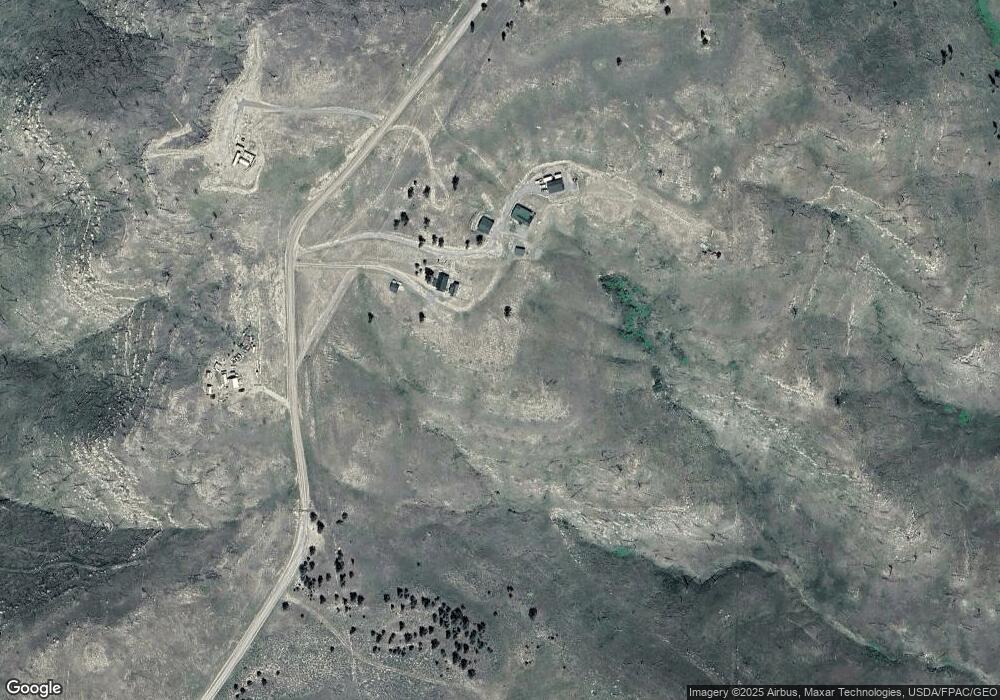
436 Stephens Hill Rd Reed Point, MT 59069
Estimated Value: $268,000 - $414,000
2
Beds
1
Bath
1,536
Sq Ft
$207/Sq Ft
Est. Value
About This Home
This home is located at 436 Stephens Hill Rd, Reed Point, MT 59069 and is currently estimated at $317,756, approximately $206 per square foot. 436 Stephens Hill Rd is a home located in Sweet Grass County with nearby schools including Reed Point Elementary School, Reed Point 7-8, and Sweet Grass Co High School.
Ownership History
Date
Name
Owned For
Owner Type
Purchase Details
Closed on
May 22, 2025
Sold by
Niver Brian C and Rhodes Clea E
Bought by
Niver Brian C
Current Estimated Value
Home Financials for this Owner
Home Financials are based on the most recent Mortgage that was taken out on this home.
Original Mortgage
$154,950
Outstanding Balance
$154,418
Interest Rate
6.81%
Mortgage Type
New Conventional
Estimated Equity
$163,338
Purchase Details
Closed on
Oct 25, 2019
Sold by
Fnma
Bought by
Niver Brian C and Rhodes Clea E
Home Financials for this Owner
Home Financials are based on the most recent Mortgage that was taken out on this home.
Original Mortgage
$142,200
Interest Rate
3.7%
Mortgage Type
New Conventional
Purchase Details
Closed on
May 25, 2016
Sold by
Gore Allen E
Bought by
Gore Allen E and Lynden Patricia
Purchase Details
Closed on
Feb 18, 2015
Sold by
Gore Allen E
Bought by
Lynden Patricia
Purchase Details
Closed on
Feb 28, 2014
Sold by
Lynden Patricia
Bought by
Gore Allen E
Purchase Details
Closed on
Jan 31, 2009
Sold by
Lynden Patricia
Bought by
Gore Allen E
Purchase Details
Closed on
Jun 18, 2007
Sold by
Hill Steve J and Hill Beryl E
Bought by
Gore Allen E
Home Financials for this Owner
Home Financials are based on the most recent Mortgage that was taken out on this home.
Original Mortgage
$112,000
Interest Rate
6.14%
Mortgage Type
New Conventional
Create a Home Valuation Report for This Property
The Home Valuation Report is an in-depth analysis detailing your home's value as well as a comparison with similar homes in the area
Home Values in the Area
Average Home Value in this Area
Purchase History
| Date | Buyer | Sale Price | Title Company |
|---|---|---|---|
| Niver Brian C | -- | Service Link | |
| Niver Brian C | -- | Service Link | |
| Niver Brian C | $158,000 | -- | |
| Gore Allen E | -- | None Available | |
| Lynden Patricia | -- | None Available | |
| Gore Allen E | -- | None Available | |
| Gore Allen E | -- | None Available | |
| Gore Allen E | -- | None Available | |
| Gore Allen E | -- | Sweet Grass Title Co |
Source: Public Records
Mortgage History
| Date | Status | Borrower | Loan Amount |
|---|---|---|---|
| Open | Niver Brian C | $154,950 | |
| Previous Owner | Niver Brian C | $142,200 | |
| Previous Owner | Gore Allen E | $112,000 |
Source: Public Records
Tax History Compared to Growth
Tax History
| Year | Tax Paid | Tax Assessment Tax Assessment Total Assessment is a certain percentage of the fair market value that is determined by local assessors to be the total taxable value of land and additions on the property. | Land | Improvement |
|---|---|---|---|---|
| 2025 | $931 | $220,134 | $0 | $0 |
| 2024 | $1,397 | $218,337 | $0 | $0 |
| 2023 | $1,381 | $218,337 | $0 | $0 |
| 2022 | $1,025 | $138,692 | $0 | $0 |
| 2021 | $1,039 | $138,692 | $0 | $0 |
| 2020 | $934 | $124,009 | $0 | $0 |
| 2019 | $883 | $116,509 | $0 | $0 |
| 2018 | $1,177 | $152,064 | $0 | $0 |
| 2017 | $1,248 | $152,064 | $0 | $0 |
| 2016 | $1,033 | $124,586 | $0 | $0 |
| 2015 | $1,033 | $124,586 | $0 | $0 |
| 2014 | $1,057 | $65,297 | $0 | $0 |
Source: Public Records
Map
Nearby Homes
- 0 Dry Hole Trail Unit 353747
- 802 Deadmans Canyon Rd
- 659 Deadmans Canyon Rd
- tbd Deadmans Canyon Rd
- 20 Rapelje Rd
- 8 Division St N
- 74 Hwy 10 E
- 68 Bridger Creek Rd
- TBD Frontage Rd
- 251 Hump Creek Lot 4 Rd
- 251 Hump Creek Lot 3 Rd
- 251 Rd
- 251 Rd
- 251 Hump Creek Rd
- 16 Powder Horn Ranch
- 16 Powder Horn Ranch Dr
- 88 Lower Deer Creek Rd
- 20 Elkhorn Rd
- TBD Lower Deer Creek Rd
- 307 Howie Rd
- 438 Stephens Hill Rd
- 445 Stephens Hill Rd
- 34 Skunkbelly Ln
- 41 Skunkbelly Ln
- 000 Dry Hole Trail
- Tbd Dry Basin
- TBD Skunkbelly Ln
- Lot 31 Skunkbelly Ln
- 487 Stephens Hill Rd
- 0 Dry Hole Trail Unit 347610
- 21 Dry Hole Trail
- 0 Dry Hole Trail
- 29 Dry Hole Rd
- 24 Dry Hole Trail
- 92 Dry Hole Trail
- 503 Stephens Hill Rd
- 220 Dry Hole Trail
- 151 Dry Hole Trail
- 224 Dry Hole Trail
- 507 Stephens Hill Rd
