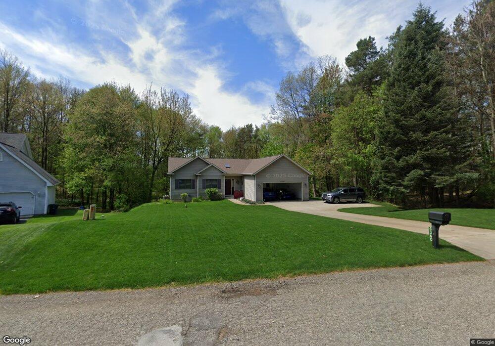
4360 Rollridge Ave Unit 10 Kalamazoo, MI 49004
Estimated Value: $347,000 - $392,000
3
Beds
2
Baths
1,468
Sq Ft
$253/Sq Ft
Est. Value
About This Home
This home is located at 4360 Rollridge Ave Unit 10, Kalamazoo, MI 49004 and is currently estimated at $371,625, approximately $253 per square foot. 4360 Rollridge Ave Unit 10 is a home located in Kalamazoo County with nearby schools including Parchment High School.
Ownership History
Date
Name
Owned For
Owner Type
Purchase Details
Closed on
Nov 10, 2004
Sold by
Steer Wesley S and Steer Maryrose G
Bought by
Mureika Charles J and Mureika Catherine L
Current Estimated Value
Home Financials for this Owner
Home Financials are based on the most recent Mortgage that was taken out on this home.
Original Mortgage
$136,000
Outstanding Balance
$68,049
Interest Rate
5.82%
Mortgage Type
Purchase Money Mortgage
Estimated Equity
$303,576
Create a Home Valuation Report for This Property
The Home Valuation Report is an in-depth analysis detailing your home's value as well as a comparison with similar homes in the area
Home Values in the Area
Average Home Value in this Area
Purchase History
| Date | Buyer | Sale Price | Title Company |
|---|---|---|---|
| Mureika Charles J | $188,000 | Metro |
Source: Public Records
Mortgage History
| Date | Status | Borrower | Loan Amount |
|---|---|---|---|
| Open | Mureika Charles J | $136,000 |
Source: Public Records
Tax History Compared to Growth
Tax History
| Year | Tax Paid | Tax Assessment Tax Assessment Total Assessment is a certain percentage of the fair market value that is determined by local assessors to be the total taxable value of land and additions on the property. | Land | Improvement |
|---|---|---|---|---|
| 2025 | $3,563 | $177,900 | $0 | $0 |
| 2024 | $1,021 | $170,300 | $0 | $0 |
| 2023 | $974 | $146,750 | $0 | $0 |
| 2022 | $3,204 | $135,050 | $0 | $0 |
| 2021 | $3,137 | $122,850 | $0 | $0 |
| 2020 | $3,007 | $103,550 | $0 | $0 |
| 2019 | $2,831 | $98,050 | $0 | $0 |
| 2018 | $0 | $88,842 | $0 | $0 |
| 2017 | $0 | $87,223 | $0 | $0 |
| 2016 | -- | $82,451 | $0 | $0 |
| 2015 | -- | $80,546 | $0 | $0 |
| 2014 | -- | $74,822 | $0 | $0 |
Source: Public Records
Map
Nearby Homes
- 4950 Sparrow Ave
- 4331 Stony Ave Unit 31
- 2875 Arctic Ave
- 2830 Arctic Ave
- 3017 E G Ave
- 4104 Nazareth Rd
- 2904 Glenhaven Ave
- 5305 Cobblefield Ln
- 5703 N Sprinkle Rd
- 5135 Cobblefield Ln Unit 82
- 5280 Beardsley Ct
- 3822 Nazareth Rd
- 5453 Turkey Run Dr
- 5161 Sharon St
- 5467 Keyes Dr
- 5418 Keyes Dr
- 3316 Nazareth Rd
- 2428 Glendale Blvd
- 5374 Keyes Dr
- 2423 Ashton Ave
- 4404 Rollridge Ave
- 4316 Rollridge Ave
- 4448 Rollridge Ave Unit 8
- 4272 Rollridge Ave
- 4357 Rollridge Ave
- 4401 Rollridge Ave
- 4228 Rollridge Ave Unit 13
- 5555 Oriole St
- 4496 Rollridge Ave
- 4275 Rollridge Ave Unit 4
- 5571 Oriole St
- 4184 Rollridge Ave Unit 14
- 12 Rollridge Ave
- 0 Rollridge Ave
- 4538 Rollridge Ave
- 4233 Rollridge Ave Unit 3
- 5591 Oriole St
- 4565 Rollridge Ave
- 4111 Rollridge Ave Unit 1
- 4187 Rollridge Ave Unit 2