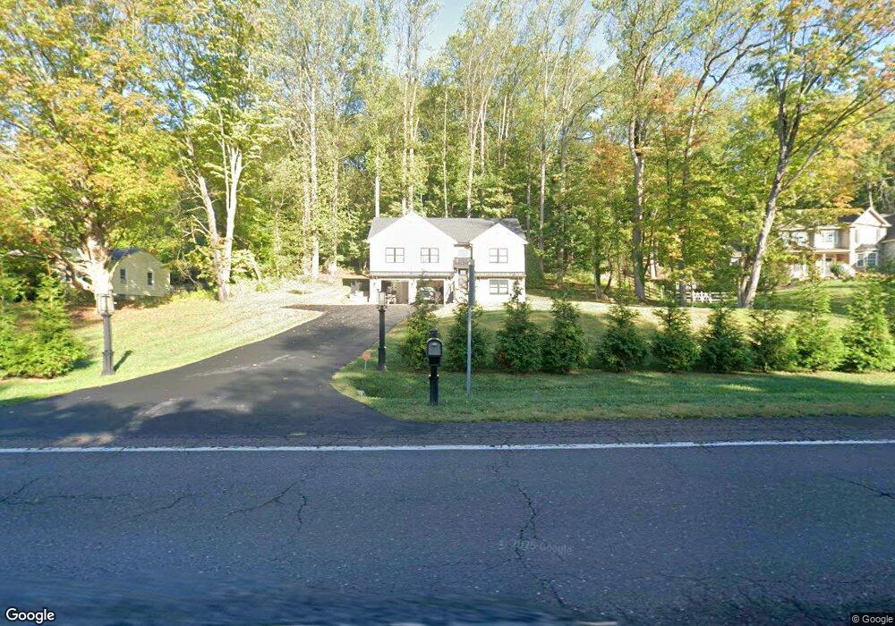
4360 Route 202 Doylestown, PA 18902
Estimated Value: $557,788 - $642,000
3
Beds
3
Baths
1,572
Sq Ft
$388/Sq Ft
Est. Value
About This Home
This home is located at 4360 Route 202, Doylestown, PA 18902 and is currently estimated at $610,197, approximately $388 per square foot. 4360 Route 202 is a home with nearby schools including Buckingham Elementary School, Holicong Middle School, and Central Bucks High School - East.
Ownership History
Date
Name
Owned For
Owner Type
Purchase Details
Closed on
Jun 3, 2022
Sold by
Excel Investments Llc
Bought by
Gifford Noah James
Current Estimated Value
Home Financials for this Owner
Home Financials are based on the most recent Mortgage that was taken out on this home.
Original Mortgage
$325,000
Outstanding Balance
$308,777
Interest Rate
5.1%
Mortgage Type
New Conventional
Estimated Equity
$301,420
Purchase Details
Closed on
Jan 15, 2020
Sold by
Thornton Richard C and Ciaccio Sandra
Bought by
Excel Investments Llc
Purchase Details
Closed on
Apr 25, 2019
Sold by
Thornton Richard C and Thornton Richard C
Bought by
Thornton Richard C and Ciaccio Sandra
Purchase Details
Closed on
May 6, 1976
Bought by
Cornell Wilbur W and Cornell Rachel Y
Create a Home Valuation Report for This Property
The Home Valuation Report is an in-depth analysis detailing your home's value as well as a comparison with similar homes in the area
Home Values in the Area
Average Home Value in this Area
Purchase History
| Date | Buyer | Sale Price | Title Company |
|---|---|---|---|
| Gifford Noah James | $450,000 | Crescent Abstract | |
| Excel Investments Llc | $60,000 | Tohickon Settlement Svcs Inc | |
| Thornton Richard C | -- | None Available | |
| Cornell Wilbur W | -- | -- |
Source: Public Records
Mortgage History
| Date | Status | Borrower | Loan Amount |
|---|---|---|---|
| Open | Gifford Noah James | $325,000 |
Source: Public Records
Tax History Compared to Growth
Tax History
| Year | Tax Paid | Tax Assessment Tax Assessment Total Assessment is a certain percentage of the fair market value that is determined by local assessors to be the total taxable value of land and additions on the property. | Land | Improvement |
|---|---|---|---|---|
| 2025 | $5,383 | $33,060 | $8,940 | $24,120 |
| 2024 | $5,383 | $33,060 | $8,940 | $24,120 |
| 2023 | $5,200 | $33,060 | $8,940 | $24,120 |
| 2022 | $895 | $5,760 | $5,760 | $0 |
| 2021 | $884 | $5,760 | $5,760 | $0 |
| 2020 | $884 | $5,760 | $5,760 | $0 |
| 2019 | $879 | $5,760 | $5,760 | $0 |
| 2018 | $879 | $5,760 | $5,760 | $0 |
| 2017 | $871 | $5,760 | $5,760 | $0 |
| 2016 | $880 | $5,760 | $5,760 | $0 |
| 2015 | -- | $5,760 | $5,760 | $0 |
| 2014 | -- | $5,760 | $5,760 | $0 |
Source: Public Records
Map
Nearby Homes
- 2880 Snake Hill Rd
- 2799 Manion Way
- 2728 Red Gate Dr
- 4350 Church Rd
- 4604 Sands Way
- 3146 Mill Rd
- 3111 Burnt House Hill Rd
- 3196 Mill Rd
- 2565 Bogarts Tavern Rd
- 4245 Mechanicsville Rd
- 3889 Robin Rd
- 2479 Wheatfield Ln
- 4871 E Blossom Dr
- 3775 Buckingham Dr
- 3015 Yorkshire Rd
- 5025 Anderson Rd
- lot #3 next to 3739 York Rd
- 3555 Northview Ln
- 4928 Edgewood Rd
- 3772 Powder Horn Dr
- 4352 Route 202
- 4352 U S 202
- 2802 Red Gate Dr
- 2800 Red Gate Dr
- 2803 Red Gate Dr
- 4340 Route 202
- 4366 Route 202
- 2798 Red Gate Dr
- 4326 Route 202
- 2799 Red Gate Dr
- 4318 Route 202
- 2952 Snake Hill Rd
- 4315 Route 202
- 2788 Red Gate Dr
- 2791 Red Gate Dr
- 4414 Route 202
- 4414 Route 202 Unit B
- 4414 Route 202 Unit A
- 4414 Route 202 Unit A&B
- 4414 Route 202 Unit A