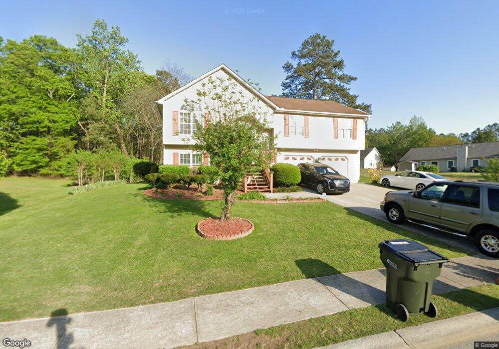
4361 Margo St Unit 1 Austell, GA 30106
Estimated Value: $308,000 - $331,000
4
Beds
3
Baths
1,474
Sq Ft
$215/Sq Ft
Est. Value
About This Home
This home is located at 4361 Margo St Unit 1, Austell, GA 30106 and is currently estimated at $317,349, approximately $215 per square foot. 4361 Margo St Unit 1 is a home located in Cobb County with nearby schools including Deerwood Elementary School, Clarkdale Elementary School, and Cooper Middle School.
Ownership History
Date
Name
Owned For
Owner Type
Purchase Details
Closed on
May 6, 1998
Sold by
N & H Development Inc
Bought by
Donny Clark Inc
Current Estimated Value
Home Financials for this Owner
Home Financials are based on the most recent Mortgage that was taken out on this home.
Original Mortgage
$94,223
Outstanding Balance
$17,886
Interest Rate
7.1%
Mortgage Type
New Conventional
Estimated Equity
$299,463
Purchase Details
Closed on
Aug 28, 1997
Sold by
N&H Development Inc
Bought by
Mabry Wade and Mabry Connie C
Create a Home Valuation Report for This Property
The Home Valuation Report is an in-depth analysis detailing your home's value as well as a comparison with similar homes in the area
Home Values in the Area
Average Home Value in this Area
Purchase History
| Date | Buyer | Sale Price | Title Company |
|---|---|---|---|
| Donny Clark Inc | $27,000 | -- | |
| Mabry Wade | $109,900 | -- |
Source: Public Records
Mortgage History
| Date | Status | Borrower | Loan Amount |
|---|---|---|---|
| Open | Donny Clark Inc | $94,223 | |
| Closed | Mabry Wade | -- |
Source: Public Records
Tax History Compared to Growth
Tax History
| Year | Tax Paid | Tax Assessment Tax Assessment Total Assessment is a certain percentage of the fair market value that is determined by local assessors to be the total taxable value of land and additions on the property. | Land | Improvement |
|---|---|---|---|---|
| 2025 | $3,021 | $133,492 | $16,800 | $116,692 |
| 2024 | $3,024 | $133,492 | $16,800 | $116,692 |
| 2023 | $2,481 | $133,492 | $16,800 | $116,692 |
| 2022 | $2,041 | $87,464 | $16,800 | $70,664 |
| 2021 | $1,794 | $76,180 | $12,000 | $64,180 |
| 2020 | $1,584 | $66,568 | $12,000 | $54,568 |
| 2019 | $1,584 | $66,568 | $12,000 | $54,568 |
| 2018 | $1,440 | $59,976 | $8,000 | $51,976 |
| 2017 | $1,248 | $53,876 | $10,000 | $43,876 |
| 2016 | $1,037 | $44,956 | $6,000 | $38,956 |
| 2015 | $1,064 | $44,956 | $6,000 | $38,956 |
| 2014 | $723 | $33,152 | $0 | $0 |
Source: Public Records
Map
Nearby Homes
- 2855 Brass Ct
- 4099 Bunker Dr SW
- 4079 Broadmoor Ct SW
- 2774 Eloquent Ln
- 3989 Flint Hill Rd
- 4280 Creek Crest Trail
- 4351 Wesley Place
- 4550 Glory Dr
- 3447 Harris Farms Way
- 2867 Ash St SW
- 3916 Abbott Way Unit 2
- 3832 Abbott Ln Unit 1
- 2473 Greenside Ct
- 3227 Abbott Dr Unit 6
- 3807 Abbott Ln SW Unit 15
- 3237 Abbott Dr SW Unit 7
- 3235 Abbott Dr Unit 7
- 4359 Margo St Unit 1
- 3008 Margo St
- 4364 Margo St
- 4364 Margo St
- 3006 Brass Dr Unit 1
- 3004 Brass Dr Unit 1
- 4366 Margo St
- 4362 Margo St
- 4357 Margo St Unit 1
- 2983 Beck Ln Unit 1
- 4360 Margo St Unit 1
- 3010 Brass Dr Unit 1
- 3002 Brass Dr Unit 1
- 0 Brass Dr Unit 7300434
- 0 Brass Dr Unit 7146214
- 0 Brass Dr Unit 3242418
- 0 Brass Dr Unit 3213336
- 0 Brass Dr Unit 7570898
- 0 Brass Dr Unit 3156445
- 0 Brass Dr