4362 Robin Ave Brownton, MN 55312
Estimated Value: $187,000 - $267,000
3
Beds
1
Bath
2,290
Sq Ft
$101/Sq Ft
Est. Value
About This Home
This home is located at 4362 Robin Ave, Brownton, MN 55312 and is currently estimated at $230,329, approximately $100 per square foot. 4362 Robin Ave is a home located in McLeod County with nearby schools including Lincoln Elementary School, Lakeside Elementary School, and Glencoe-Silver Lake Jr. High School.
Ownership History
Date
Name
Owned For
Owner Type
Purchase Details
Closed on
Nov 17, 2023
Sold by
Pieper Debra
Bought by
Rodgers Melissa and Rodgers James
Current Estimated Value
Home Financials for this Owner
Home Financials are based on the most recent Mortgage that was taken out on this home.
Original Mortgage
$165,000
Outstanding Balance
$162,116
Interest Rate
7.49%
Mortgage Type
New Conventional
Estimated Equity
$68,213
Purchase Details
Closed on
Mar 29, 2018
Sold by
Solstad Susan Susan
Bought by
Pieper Debra Debra
Create a Home Valuation Report for This Property
The Home Valuation Report is an in-depth analysis detailing your home's value as well as a comparison with similar homes in the area
Home Values in the Area
Average Home Value in this Area
Purchase History
| Date | Buyer | Sale Price | Title Company |
|---|---|---|---|
| Rodgers Melissa | $165,000 | -- | |
| Pieper Debra Debra | $135,000 | -- | |
| Pieper Debra Lynn | $135,000 | Authority Title |
Source: Public Records
Mortgage History
| Date | Status | Borrower | Loan Amount |
|---|---|---|---|
| Open | Rodgers Melissa | $165,000 |
Source: Public Records
Tax History Compared to Growth
Tax History
| Year | Tax Paid | Tax Assessment Tax Assessment Total Assessment is a certain percentage of the fair market value that is determined by local assessors to be the total taxable value of land and additions on the property. | Land | Improvement |
|---|---|---|---|---|
| 2024 | $2,032 | $236,200 | $167,400 | $68,800 |
| 2023 | $2,048 | $220,500 | $167,400 | $53,100 |
| 2022 | $3,842 | $221,400 | $167,400 | $54,000 |
| 2021 | $5,802 | $191,500 | $139,300 | $52,200 |
| 2020 | $5,438 | $191,500 | $139,300 | $52,200 |
| 2019 | $3,318 | $167,400 | $126,800 | $40,600 |
| 2018 | $1,386 | $0 | $0 | $0 |
| 2017 | $888 | $0 | $0 | $0 |
| 2016 | $894 | $0 | $0 | $0 |
| 2015 | $950 | $0 | $0 | $0 |
| 2014 | -- | $0 | $0 | $0 |
Source: Public Records
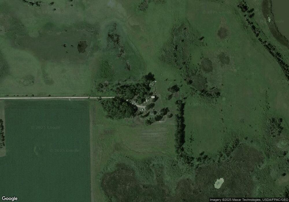
Map
Nearby Homes
- XXX Us Hwy 212
- Lot 2 U S Highway 212
- 356 6th Ave S
- 123 2nd Ave S
- 122 2nd Ave S
- xxx Lot 3 Division St W
- 531 2nd St N
- 304 1st Ave N
- 237 5th St N
- 10877 Highway 15
- 1199 E 2nd St
- 7900 Lace Ave N
- 7900 Lace Ave
- 631 Mowbray St
- 11655 Sunset Cir
- 11742 Sunset Cir
- Lot 1 Minnesota 15
- 22615 115th St
- Lot 2 Tagus Ave
- 1003 N Renville St