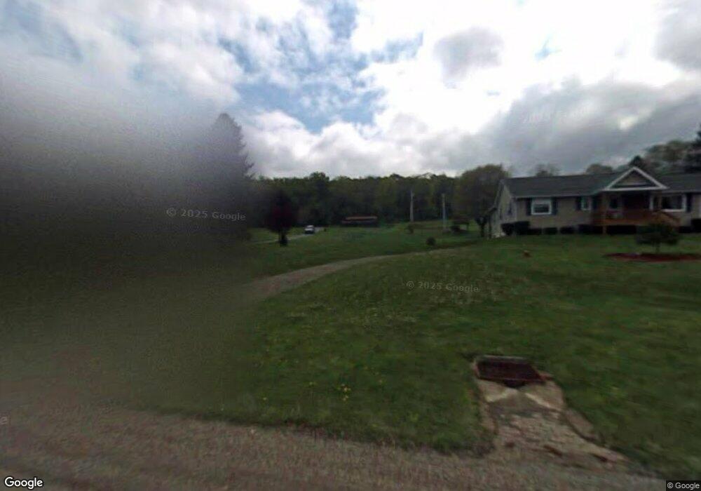
4363 State Route 66 Apollo, PA 15613
Washington Township NeighborhoodEstimated Value: $233,000 - $407,000
--
Bed
--
Bath
1,680
Sq Ft
$204/Sq Ft
Est. Value
About This Home
This home is located at 4363 State Route 66, Apollo, PA 15613 and is currently estimated at $343,534, approximately $204 per square foot. 4363 State Route 66 is a home located in Westmoreland County with nearby schools including Kiski Area High School.
Ownership History
Date
Name
Owned For
Owner Type
Purchase Details
Closed on
Apr 8, 2022
Sold by
Russell John W and Russell Christine E
Bought by
Bradosicy Brian
Current Estimated Value
Home Financials for this Owner
Home Financials are based on the most recent Mortgage that was taken out on this home.
Original Mortgage
$320,000
Outstanding Balance
$299,419
Interest Rate
3.89%
Mortgage Type
VA
Estimated Equity
$44,115
Create a Home Valuation Report for This Property
The Home Valuation Report is an in-depth analysis detailing your home's value as well as a comparison with similar homes in the area
Home Values in the Area
Average Home Value in this Area
Purchase History
| Date | Buyer | Sale Price | Title Company |
|---|---|---|---|
| Bradosicy Brian | $320,000 | None Listed On Document |
Source: Public Records
Mortgage History
| Date | Status | Borrower | Loan Amount |
|---|---|---|---|
| Open | Bradosicy Brian | $320,000 |
Source: Public Records
Tax History Compared to Growth
Tax History
| Year | Tax Paid | Tax Assessment Tax Assessment Total Assessment is a certain percentage of the fair market value that is determined by local assessors to be the total taxable value of land and additions on the property. | Land | Improvement |
|---|---|---|---|---|
| 2025 | $864 | $20,330 | $2,500 | $17,830 |
| 2024 | $2,875 | $20,330 | $2,500 | $17,830 |
| 2023 | $2,624 | $20,330 | $2,500 | $17,830 |
| 2022 | $2,543 | $20,330 | $2,500 | $17,830 |
| 2021 | $2,543 | $20,330 | $2,500 | $17,830 |
| 2020 | $2,536 | $20,330 | $2,500 | $17,830 |
| 2019 | $2,506 | $20,330 | $2,500 | $17,830 |
| 2018 | $2,465 | $20,330 | $2,500 | $17,830 |
| 2017 | $2,405 | $20,330 | $2,500 | $17,830 |
| 2016 | $2,367 | $20,330 | $2,500 | $17,830 |
| 2015 | $2,367 | $20,330 | $2,500 | $17,830 |
| 2014 | $2,355 | $20,330 | $2,500 | $17,830 |
Source: Public Records
Map
Nearby Homes
- 380 Northgate Dr Unit D
- 184 Pine Run Church Rd
- 119 Pine Run Church Rd
- 237 Beaver Run Rd
- 843 Pine Run Rd
- 910 Robin Dr
- 623 Marco Rd
- 138 Beaver Run Rd
- 150 Watson Rd
- 0 Watson Rd
- 217 Karen Dr
- 4792 State Route 66
- 115 Acadia Ln
- 225 Kochka Dr
- 380 Woodland Rd
- 115 Truxall Rd
- 223 Old Mill Rd
- 107 Moglia Ln
- 211 Old Mill Rd
- 716 Pennsylvania 356
- 4359 State Route 66
- 4359 State Rt 66
- 4353 State Route 66
- 582 Sportsman Dr
- 596 Sportsman Dr
- 576 Sportsman Dr
- 606 Sportsman Dr
- 600 Sportsman Dr
- 572 Sportsman Dr
- 4376 State Route 66
- 4372 State Route 66
- 4372 State Route 66
- 4372 State Route 66
- 568 Sportsman Dr
- 610 Sportsman Dr
- 4338 State Route 66
- 616 Sportsman Dr
- 4390 State Route 66
- 624 Sportsman Dr
- 208 Larimer Trail