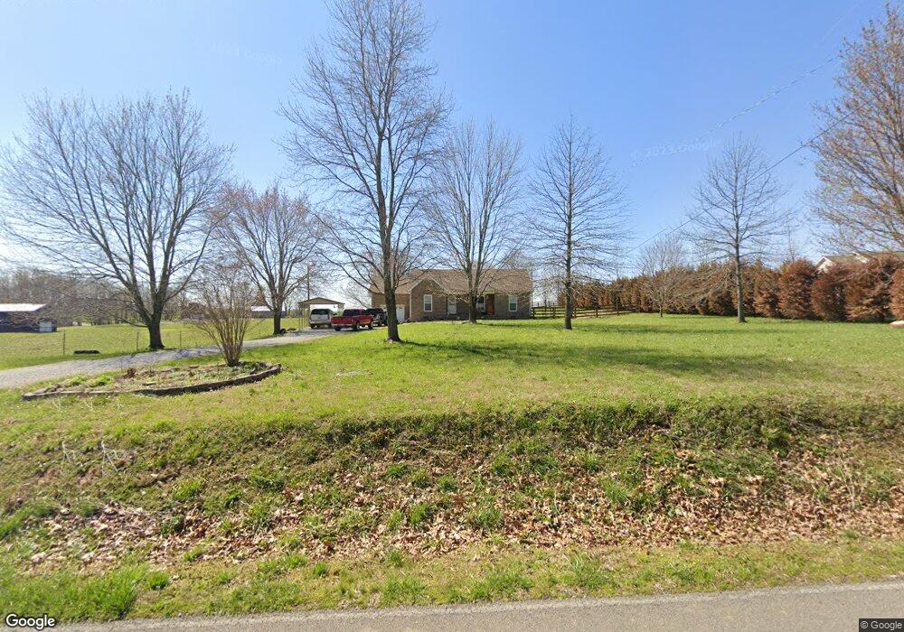
4364 Airport Rd Springfield, TN 37172
Estimated Value: $246,000 - $326,000
--
Bed
2
Baths
1,230
Sq Ft
$227/Sq Ft
Est. Value
About This Home
This home is located at 4364 Airport Rd, Springfield, TN 37172 and is currently estimated at $278,981, approximately $226 per square foot. 4364 Airport Rd is a home located in Robertson County with nearby schools including Cheatham Park Elementary School, Westside Elementary School, and Jo Byrns High School.
Ownership History
Date
Name
Owned For
Owner Type
Purchase Details
Closed on
Sep 30, 2004
Sold by
Ram Builders Llc
Bought by
Pam Lassiter
Current Estimated Value
Home Financials for this Owner
Home Financials are based on the most recent Mortgage that was taken out on this home.
Original Mortgage
$114,475
Outstanding Balance
$69,709
Interest Rate
9.38%
Estimated Equity
$209,272
Purchase Details
Closed on
Nov 12, 2003
Bought by
Ram Builders Llc
Purchase Details
Closed on
Feb 24, 1993
Bought by
Murphy Marie H
Create a Home Valuation Report for This Property
The Home Valuation Report is an in-depth analysis detailing your home's value as well as a comparison with similar homes in the area
Home Values in the Area
Average Home Value in this Area
Purchase History
| Date | Buyer | Sale Price | Title Company |
|---|---|---|---|
| Pam Lassiter | $120,500 | -- | |
| Ram Builders Llc | $85,000 | -- | |
| Murphy Marie H | -- | -- |
Source: Public Records
Mortgage History
| Date | Status | Borrower | Loan Amount |
|---|---|---|---|
| Open | Murphy Marie H | $114,475 |
Source: Public Records
Tax History Compared to Growth
Tax History
| Year | Tax Paid | Tax Assessment Tax Assessment Total Assessment is a certain percentage of the fair market value that is determined by local assessors to be the total taxable value of land and additions on the property. | Land | Improvement |
|---|---|---|---|---|
| 2024 | $1,045 | $58,075 | $9,375 | $48,700 |
| 2023 | $1,045 | $58,075 | $9,375 | $48,700 |
| 2022 | $934 | $36,275 | $4,825 | $31,450 |
| 2021 | $934 | $36,275 | $4,825 | $31,450 |
| 2020 | $934 | $36,275 | $4,825 | $31,450 |
| 2019 | $934 | $36,275 | $4,825 | $31,450 |
| 2018 | $931 | $36,150 | $4,825 | $31,325 |
| 2017 | $948 | $30,725 | $4,400 | $26,325 |
| 2016 | $948 | $30,725 | $4,400 | $26,325 |
| 2015 | $909 | $30,725 | $4,400 | $26,325 |
| 2014 | $909 | $30,725 | $4,400 | $26,325 |
Source: Public Records
Map
Nearby Homes
- 1224 Hangar Dr
- 1191 Hangar Rd
- 4231 Airport Rd
- 1 Highway 41n Tn
- 4108 Airport Rd
- 4319 Nicks Dr
- 4345 S Garrett Rd
- 30 N Garrett Rd
- 461 Berry Cir
- 3908 Fykes Grove Rd
- 4761 Highway 161
- 3943 Fykes Grove Rd
- 4360 Highway 431 N
- 1421 Lawrence Ln
- 603 Crestview Dr
- 400 Connell St
- 0 Hwy 431 N Unit RTC3041301
- 0 Hwy 431 N Unit RTC3041303
- 0 Hwy 431 N Unit RTC3041305
- 0 Hwy 431 N Unit RTC3041308
- 4370 Airport Rd
- 4373 Airport Rd
- 4376 Airport Rd
- 4357 Airport Rd
- 4382 Airport Rd
- 4347 Airport Rd
- 4379 Airport Rd
- 4337 Airport Rd
- 4407 Airport Rd
- 4451 Airport Rd
- 4313 Airport Rd
- 4429 Airport Rd
- 4312 Airport Rd
- 4316 Airport Rd
- 4431 Airport Rd
- 4454 Clarence Murphy Rd
- 4304 Clarence Murphy Rd
- 4442 Airport Rd
- 4457 Airport Rd
- 4216 Airport Rd