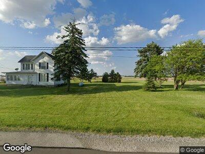
4364 Us Highway 20 W Lindsey, OH 43442
Estimated Value: $184,000 - $239,000
3
Beds
2
Baths
1,858
Sq Ft
$115/Sq Ft
Est. Value
About This Home
This home is located at 4364 Us Highway 20 W, Lindsey, OH 43442 and is currently estimated at $214,337, approximately $115 per square foot. 4364 Us Highway 20 W is a home located in Sandusky County with nearby schools including Fremont Ross High School.
Ownership History
Date
Name
Owned For
Owner Type
Purchase Details
Closed on
Apr 30, 2015
Sold by
Frisch Cynthia A and Fisher David M
Bought by
Strausbaugh Winfield L
Current Estimated Value
Purchase Details
Closed on
Nov 18, 2005
Sold by
Magsig Robert E and Mary E Magsig Trust
Bought by
Fisher David M
Home Financials for this Owner
Home Financials are based on the most recent Mortgage that was taken out on this home.
Original Mortgage
$75,000
Interest Rate
6.04%
Mortgage Type
Purchase Money Mortgage
Create a Home Valuation Report for This Property
The Home Valuation Report is an in-depth analysis detailing your home's value as well as a comparison with similar homes in the area
Home Values in the Area
Average Home Value in this Area
Purchase History
| Date | Buyer | Sale Price | Title Company |
|---|---|---|---|
| Strausbaugh Winfield L | $99,000 | First American Title | |
| Fisher David M | $102,750 | First American Title |
Source: Public Records
Mortgage History
| Date | Status | Borrower | Loan Amount |
|---|---|---|---|
| Open | Strausbaugh Winfield L | $70,000 | |
| Closed | Strausbaugh Winfield L | $25,000 | |
| Previous Owner | Fisher David M | $75,000 |
Source: Public Records
Tax History Compared to Growth
Tax History
| Year | Tax Paid | Tax Assessment Tax Assessment Total Assessment is a certain percentage of the fair market value that is determined by local assessors to be the total taxable value of land and additions on the property. | Land | Improvement |
|---|---|---|---|---|
| 2024 | $2,154 | $55,830 | $17,010 | $38,820 |
| 2023 | $2,154 | $45,010 | $13,720 | $31,290 |
| 2022 | $1,847 | $45,010 | $13,720 | $31,290 |
| 2021 | $1,904 | $45,010 | $13,720 | $31,290 |
| 2020 | $1,728 | $40,250 | $13,300 | $26,950 |
| 2019 | $1,727 | $40,250 | $13,300 | $26,950 |
| 2018 | $1,730 | $40,250 | $13,300 | $26,950 |
| 2017 | $1,676 | $38,960 | $13,300 | $25,660 |
| 2016 | $1,480 | $38,960 | $13,300 | $25,660 |
| 2015 | $1,101 | $38,960 | $13,300 | $25,660 |
| 2014 | $1,009 | $35,110 | $12,320 | $22,790 |
| 2013 | $988 | $35,110 | $12,320 | $22,790 |
Source: Public Records
Map
Nearby Homes
- 0 County Road 59
- 114 W Lincoln St
- 3264 U S 20
- 3264 Us Highway 20 W
- 3590 County Road 660
- 3655 County Road 87
- 453 County Road 108
- 2108 Ohio 53
- 2887 Hayes Ave
- 2100 W State St
- 820 Lime St
- 1823 W State St
- 1115 Arlington St
- 289 E County Road 73
- 606 County Road 94
- 1225 White Ave
- 1875 County Road 66
- 0 Sean Dr
- Outlot A Sean Dr
- 921 White Ave
- 4364 Us Highway 20 W
- 4364 U S 20
- 4403 W State St
- 4470 W State St
- 4491 W State St
- 4536 W State St
- 1797 County Road 106
- 4545 W State St
- 4215 W State St
- 4115 W State St
- 4098 W State St
- 1935 County Road 106
- 1987 County Road 106
- 4672 W State St
- 4692 W State St
- 4045 W State St
- 2256 County Road 65
- 1924 County Road 81
- 1590 State Route 590
- 1550 State Route 590