4365 Pevee Rd Bluffton, OH 45817
Estimated Value: $247,000 - $417,594
3
Beds
3
Baths
1,997
Sq Ft
$180/Sq Ft
Est. Value
About This Home
This home is located at 4365 Pevee Rd, Bluffton, OH 45817 and is currently estimated at $359,649, approximately $180 per square foot. 4365 Pevee Rd is a home located in Allen County with nearby schools including Allen East Elementary School, Allen East Middle School, and Allen East High School.
Ownership History
Date
Name
Owned For
Owner Type
Purchase Details
Closed on
Apr 15, 2015
Sold by
Staley Matt C and Staley Burley Gina C
Bought by
Staley Thad Randall and Staley Amy Nichol
Current Estimated Value
Home Financials for this Owner
Home Financials are based on the most recent Mortgage that was taken out on this home.
Original Mortgage
$163,700
Outstanding Balance
$125,973
Interest Rate
3.73%
Mortgage Type
New Conventional
Estimated Equity
$233,676
Create a Home Valuation Report for This Property
The Home Valuation Report is an in-depth analysis detailing your home's value as well as a comparison with similar homes in the area
Home Values in the Area
Average Home Value in this Area
Purchase History
| Date | Buyer | Sale Price | Title Company |
|---|---|---|---|
| Staley Thad Randall | $200,000 | None Available |
Source: Public Records
Mortgage History
| Date | Status | Borrower | Loan Amount |
|---|---|---|---|
| Open | Staley Thad Randall | $163,700 |
Source: Public Records
Tax History Compared to Growth
Tax History
| Year | Tax Paid | Tax Assessment Tax Assessment Total Assessment is a certain percentage of the fair market value that is determined by local assessors to be the total taxable value of land and additions on the property. | Land | Improvement |
|---|---|---|---|---|
| 2024 | $4,043 | $115,360 | $20,370 | $94,990 |
| 2023 | $3,399 | $88,060 | $15,540 | $72,520 |
| 2022 | $3,425 | $88,060 | $15,540 | $72,520 |
| 2021 | $3,446 | $88,060 | $15,540 | $72,520 |
| 2020 | $3,114 | $77,350 | $15,400 | $61,950 |
| 2019 | $3,114 | $77,350 | $15,400 | $61,950 |
| 2018 | $2,991 | $77,350 | $15,400 | $61,950 |
| 2017 | $2,874 | $69,270 | $15,400 | $53,870 |
| 2016 | $3,090 | $69,270 | $15,400 | $53,870 |
| 2015 | $2,223 | $62,900 | $9,030 | $53,870 |
| 2014 | $2,223 | $62,410 | $8,190 | $54,220 |
| 2013 | $2,164 | $62,410 | $8,190 | $54,220 |
Source: Public Records
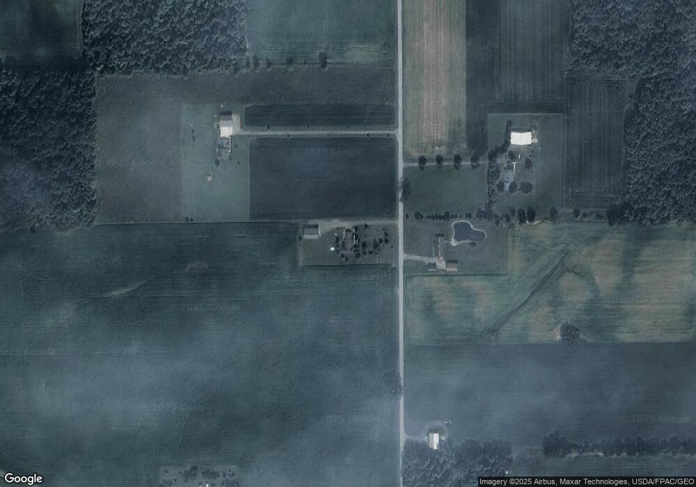
Map
Nearby Homes
- 4700 Herr Rd
- 8955 Lafayette Rd
- 3475 N Napoleon Rd
- 000 Napoleon Rd
- 4995 N Napoleon Rd
- 2088 County Road 20
- 118 E Main St
- 10040 N Napoleon Rd
- 108 E Main St
- 6487 Mickelson Ln
- 6476 Mickelson Ln
- 752 County Road 60
- 4071 Township Road 35
- 8900 N Dixie Hwy
- 2072 State Route 235
- 000 Phillips Rd
- 8350 Swaney Rd
- 5025 N Cool Rd
- 405 Heistand St
- 629 N Main St
- 4360 Pevee Rd
- 4441 Pevee Rd
- 4420 Pevee Rd
- 4441 N Pevee Rd
- 4180 Pevee Rd
- 4080 Pevee Rd
- 4200 Tom Fett Rd
- 4476 Tom Fett Rd
- 4343 Bentley Rd
- 4255 Bentley Rd
- 0000 Tom Fett Rd
- 10485 Sandusky Rd
- 3940 Tom Fett Rd
- 4649 Tom Fett Rd
- 10600 Sandusky Rd
- 10280 Sugar Creek Rd
- 3770 N Pevee Rd
- 10815 Sandusky Rd
- 3858 Tom Fett Rd