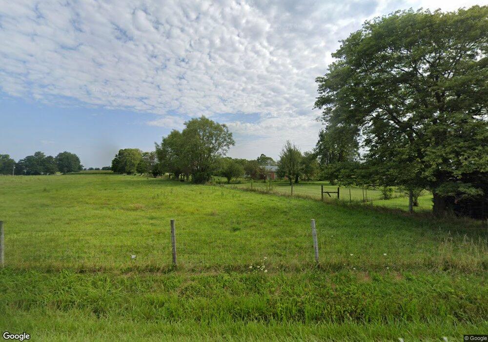
4367 State Route 29 E Sidney, OH 45365
Estimated Value: $260,000 - $345,000
4
Beds
2
Baths
1,970
Sq Ft
$156/Sq Ft
Est. Value
About This Home
This home is located at 4367 State Route 29 E, Sidney, OH 45365 and is currently estimated at $307,908, approximately $156 per square foot. 4367 State Route 29 E is a home located in Shelby County with nearby schools including Fairlawn Elementary School and Fairlawn High School.
Ownership History
Date
Name
Owned For
Owner Type
Purchase Details
Closed on
Mar 18, 1997
Sold by
Mcmasters Tommy G
Bought by
Bennett Mark A and Loan/Bennett Terrie A
Current Estimated Value
Home Financials for this Owner
Home Financials are based on the most recent Mortgage that was taken out on this home.
Original Mortgage
$108,900
Outstanding Balance
$12,036
Interest Rate
7.95%
Mortgage Type
New Conventional
Estimated Equity
$295,873
Create a Home Valuation Report for This Property
The Home Valuation Report is an in-depth analysis detailing your home's value as well as a comparison with similar homes in the area
Purchase History
| Date | Buyer | Sale Price | Title Company |
|---|---|---|---|
| Bennett Mark A | $115,000 | -- |
Source: Public Records
Mortgage History
| Date | Status | Borrower | Loan Amount |
|---|---|---|---|
| Open | Bennett Mark A | $108,900 |
Source: Public Records
Tax History Compared to Growth
Tax History
| Year | Tax Paid | Tax Assessment Tax Assessment Total Assessment is a certain percentage of the fair market value that is determined by local assessors to be the total taxable value of land and additions on the property. | Land | Improvement |
|---|---|---|---|---|
| 2024 | $2,251 | $81,960 | $29,800 | $52,160 |
| 2023 | $2,251 | $81,960 | $29,800 | $52,160 |
| 2022 | $2,040 | $52,740 | $20,230 | $32,510 |
| 2021 | $2,050 | $52,740 | $20,230 | $32,510 |
| 2020 | $2,050 | $52,740 | $20,230 | $32,510 |
| 2019 | $818 | $45,180 | $16,130 | $29,050 |
| 2018 | $1,621 | $45,180 | $16,130 | $29,050 |
| 2017 | $1,632 | $45,180 | $16,130 | $29,050 |
| 2016 | $1,352 | $39,230 | $12,050 | $27,180 |
| 2015 | $1,309 | $38,610 | $12,050 | $26,560 |
| 2014 | $1,309 | $38,610 | $12,050 | $26,560 |
| 2013 | $1,576 | $38,740 | $12,050 | $26,690 |
Source: Public Records
Map
Nearby Homes
- 4401 Knoop-Johnston Rd
- 0 Dingman-Slagle Rd Unit 1856661
- 6100 State Route 29 E
- 2199 Bulle Rd
- 1301 Gearhart Rd
- --- Childrens Home Rd
- 265 Harvard Ave
- 309 Hillcrest Ct
- 1366 Constitution Ave
- 1119 Hamilton Ct
- 1203 Riverbend Blvd
- 115 Brooklyn Ave
- 322 W Main St
- 414 & 416 E Court St
- 321 E South St
- 321-321.5 E South St
- 427 Wall St
- 510 S Main Ave
- 620 S Ohio Ave
- 420 S Ohio Ave
- 4441 Ohio 29
- 4441 State Route 29 E
- 4575 State Route 29 E
- 4614 State Route 29 E
- 4091 State Route 29 E
- 0 Ohio 29
- 6430 Ohio 29
- 6275 Ohio 29
- 4165 Ohio 29
- 4651 Dormire Rd
- 4053 State Route 29 E
- 4749 Dormire Rd
- 20163 Deam Rd
- 4801 Dormire Rd
- 4851 Dormire Rd
- 4257 State Route 589
- 4877 Dormire Rd
- 4903 Dormire Rd
- 21230 Deam Rd
- 4991 Tawawa Maplewood Rd
