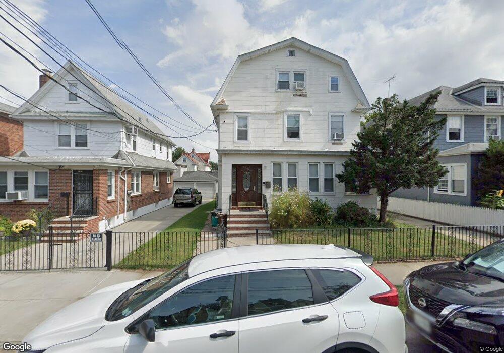
4369 165th St Flushing, NY 11358
East Flushing NeighborhoodEstimated Value: $1,046,516 - $1,591,000
Studio
--
Bath
3,068
Sq Ft
$454/Sq Ft
Est. Value
About This Home
This home is located at 4369 165th St, Flushing, NY 11358 and is currently estimated at $1,393,879, approximately $454 per square foot. 4369 165th St is a home located in Queens County with nearby schools including P.S. 107 Thomas A Dooley, I.S. 25 Adrien Block, and Francis Lewis High School.
Ownership History
Date
Name
Owned For
Owner Type
Purchase Details
Closed on
Sep 19, 2006
Sold by
Arslangul Koharik
Bought by
K L I Hatzistefanidis Llc
Current Estimated Value
Home Financials for this Owner
Home Financials are based on the most recent Mortgage that was taken out on this home.
Original Mortgage
$500,000
Outstanding Balance
$298,137
Interest Rate
6.54%
Mortgage Type
Purchase Money Mortgage
Estimated Equity
$1,095,742
Create a Home Valuation Report for This Property
The Home Valuation Report is an in-depth analysis detailing your home's value as well as a comparison with similar homes in the area
Home Values in the Area
Average Home Value in this Area
Purchase History
| Date | Buyer | Sale Price | Title Company |
|---|---|---|---|
| K L I Hatzistefanidis Llc | $670,000 | -- |
Source: Public Records
Mortgage History
| Date | Status | Borrower | Loan Amount |
|---|---|---|---|
| Open | K L I Hatzistefanidis Llc | $500,000 |
Source: Public Records
Tax History
| Year | Tax Paid | Tax Assessment Tax Assessment Total Assessment is a certain percentage of the fair market value that is determined by local assessors to be the total taxable value of land and additions on the property. | Land | Improvement |
|---|---|---|---|---|
| 2025 | $11,195 | $59,081 | $12,417 | $46,664 |
| 2024 | $11,195 | $55,738 | $13,434 | $42,304 |
| 2023 | $10,571 | $52,630 | $12,525 | $40,105 |
| 2022 | $10,507 | $78,960 | $22,560 | $56,400 |
| 2021 | $10,983 | $82,080 | $22,560 | $59,520 |
| 2020 | $10,421 | $83,760 | $22,560 | $61,200 |
| 2019 | $9,716 | $83,280 | $22,560 | $60,720 |
| 2018 | $8,940 | $43,858 | $14,697 | $29,161 |
| 2017 | $8,940 | $43,858 | $14,240 | $29,618 |
| 2016 | $8,694 | $43,858 | $14,240 | $29,618 |
| 2015 | $4,990 | $41,028 | $17,846 | $23,182 |
| 2014 | $4,990 | $38,707 | $16,003 | $22,704 |
Source: Public Records
Map
Nearby Homes
- 43-33 163rd St
- 4328 168th St
- 43-58 163rd St
- 45-18 166th St
- 163-02 45th Ave
- 43-27 162nd St
- 167-22 Northern Blvd
- 4344 161st St
- 42-16 162nd St
- 4018 165th St
- 45-74 164th St
- 4363 160th St
- 4012 166th St
- 4564 170th St
- 45-57 160th St
- 36-40 167th St
- 16003 Sanford Ave
- 16001 Sanford Ave
- 42-28 159th St
- 46-12 161st St Unit 1D
- 4363 165th St
- 43-73 165th St Unit 2nd Fl
- 4373 165th St
- 4359 165th St
- 4377 165th St
- 4370 166th St
- 4379 165th St
- 4364 166th St
- 4374 166th St
- 4355 165th St
- 4360 166th St
- 4370 165th St Unit 2
- 43-60 166th St
- 43-60 166th St Unit FL 2
- 4378 166th St
- 43-68 165th St
- 4358 166th St
- 4368 165th St
- 43-66 165th St
- 4351 165th St
Your Personal Tour Guide
Ask me questions while you tour the home.