43690 347th Ln Aitkin, MN 56431
Estimated Value: $320,000 - $413,000
2
Beds
3
Baths
1,120
Sq Ft
$339/Sq Ft
Est. Value
About This Home
This home is located at 43690 347th Ln, Aitkin, MN 56431 and is currently estimated at $379,616, approximately $338 per square foot. 43690 347th Ln is a home located in Aitkin County with nearby schools including Rippleside Elementary School and Aitkin Secondary School.
Ownership History
Date
Name
Owned For
Owner Type
Purchase Details
Closed on
May 31, 2016
Sold by
Christopher James James
Bought by
Corey David and Corey Lynda
Current Estimated Value
Home Financials for this Owner
Home Financials are based on the most recent Mortgage that was taken out on this home.
Original Mortgage
$156,000
Outstanding Balance
$124,199
Interest Rate
3.58%
Estimated Equity
$255,417
Purchase Details
Closed on
Nov 1, 1995
Bought by
Christopher James and Christopher Maureen
Create a Home Valuation Report for This Property
The Home Valuation Report is an in-depth analysis detailing your home's value as well as a comparison with similar homes in the area
Home Values in the Area
Average Home Value in this Area
Purchase History
| Date | Buyer | Sale Price | Title Company |
|---|---|---|---|
| Corey David | $190,000 | -- | |
| Christopher James | $56,000 | -- |
Source: Public Records
Mortgage History
| Date | Status | Borrower | Loan Amount |
|---|---|---|---|
| Open | Corey David | $156,000 |
Source: Public Records
Tax History Compared to Growth
Tax History
| Year | Tax Paid | Tax Assessment Tax Assessment Total Assessment is a certain percentage of the fair market value that is determined by local assessors to be the total taxable value of land and additions on the property. | Land | Improvement |
|---|---|---|---|---|
| 2025 | $1,470 | $359,400 | $105,700 | $253,700 |
| 2024 | $1,740 | $358,200 | $105,700 | $252,500 |
| 2023 | $1,564 | $357,300 | $105,700 | $251,600 |
| 2022 | $1,582 | $310,300 | $92,200 | $218,100 |
| 2021 | $1,470 | $244,200 | $77,800 | $166,400 |
| 2020 | $1,484 | $236,900 | $81,600 | $155,300 |
| 2019 | $1,414 | $239,500 | $81,600 | $157,900 |
| 2018 | $1,282 | $223,100 | $81,600 | $141,500 |
| 2017 | $1,106 | $206,400 | $85,400 | $121,000 |
| 2016 | $1,120 | $209,800 | $89,200 | $120,600 |
| 2014 | $1,208 | $228,100 | $99,800 | $128,300 |
| 2012 | $11 | $244,600 | $100,800 | $143,800 |
Source: Public Records
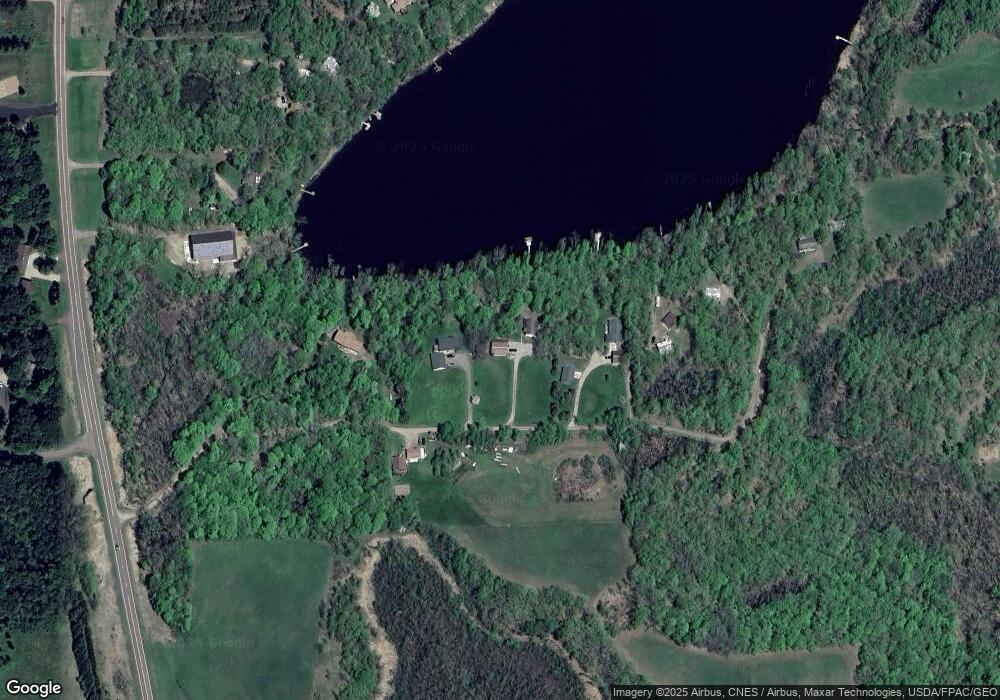
Map
Nearby Homes
- 32598 Pioneer Ave
- 43XXX Daisy St
- Lot 7 & 8 Red Oak Ct
- TBD Red Oak Ct
- 999 Porcupine Trail
- 920 Blackrock Rd
- 617 4th St NW Unit 2
- 520 4th St NW
- 26169 Paddy Ave
- 41076 340th Ln
- 319 4th St NW
- 315 1st Ave SE
- 400 Riverdale Dr
- 321 2nd Ave NW
- 22535 Cedar Lake Dr
- 50 Maryhill Ln
- 316 2nd Ave SE
- 24005 County Road 111
- 510 Bunker Hill Dr
- xxx County Road 32
- 43662 347th Ln
- 43698 347th Ln
- 43654 347th Ln
- 43715 347th Ln
- 43764 347th Ln
- 43602 347th Ln
- 43603 347th Ln
- 34934 Pioneer Ave
- 34934 Pioneer Ave
- 34962 Pioneer Ave
- 34974 Pioneer Ave
- 43719 351st Ln
- 43645 351st Ln
- xx 6 acres 351st Ln
- 43892 348th Ln
- 43651 351st Ln
- 0 351st Ln Unit 4310834
- 0 351st Ln Unit 4409974
- xxx 351st Ln
- 34959 Pioneer Ave