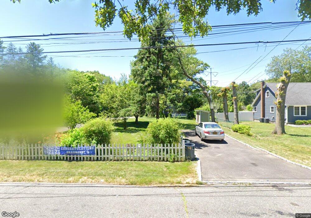
437 Auborn Ave Shirley, NY 11967
Estimated Value: $486,000 - $586,000
3
Beds
2
Baths
1,968
Sq Ft
$278/Sq Ft
Est. Value
About This Home
This home is located at 437 Auborn Ave, Shirley, NY 11967 and is currently estimated at $546,408, approximately $277 per square foot. 437 Auborn Ave is a home located in Suffolk County with nearby schools including Longwood Junior High School, Longwood Middle School, and Longwood Senior High School.
Ownership History
Date
Name
Owned For
Owner Type
Purchase Details
Closed on
Sep 27, 2023
Sold by
Hernandz Misuel and Hanada Danielle
Bought by
Heanche Danlate
Current Estimated Value
Purchase Details
Closed on
Jan 31, 2002
Sold by
Banks Marianne and Callahan Patricia A
Bought by
Hernandez Miguel and Hernandez Danielle
Purchase Details
Closed on
Feb 25, 1998
Sold by
Blumenauer Frederick and Blumenauer Therese
Bought by
Callahan Patricia A
Create a Home Valuation Report for This Property
The Home Valuation Report is an in-depth analysis detailing your home's value as well as a comparison with similar homes in the area
Home Values in the Area
Average Home Value in this Area
Purchase History
| Date | Buyer | Sale Price | Title Company |
|---|---|---|---|
| Heanche Danlate | -- | None Available | |
| Heanche Danlate | -- | None Available | |
| Hernandez Miguel | $175,000 | First American Title Ins Co | |
| Hernandez Miguel | $175,000 | First American Title Ins Co | |
| Callahan Patricia A | $105,000 | -- | |
| Callahan Patricia A | $105,000 | -- |
Source: Public Records
Tax History Compared to Growth
Tax History
| Year | Tax Paid | Tax Assessment Tax Assessment Total Assessment is a certain percentage of the fair market value that is determined by local assessors to be the total taxable value of land and additions on the property. | Land | Improvement |
|---|---|---|---|---|
| 2024 | $10,200 | $2,500 | $200 | $2,300 |
| 2023 | $10,200 | $2,500 | $200 | $2,300 |
| 2022 | $9,219 | $2,500 | $200 | $2,300 |
| 2021 | $9,219 | $2,500 | $200 | $2,300 |
| 2020 | $9,452 | $2,500 | $200 | $2,300 |
| 2019 | $9,452 | $0 | $0 | $0 |
| 2018 | $8,969 | $2,500 | $200 | $2,300 |
| 2017 | $8,969 | $2,500 | $200 | $2,300 |
| 2016 | $8,861 | $2,500 | $200 | $2,300 |
| 2015 | -- | $2,500 | $200 | $2,300 |
| 2014 | -- | $2,500 | $200 | $2,300 |
Source: Public Records
Map
Nearby Homes
- 68 Crestwood Dr
- 34 Belmont Dr
- 411 Glen Dr
- VL Glen Dr
- 23 Monty Dr Unit 14
- 65 Colin Dr
- 283 W End Ave
- 8 & 11 William Floyd Pkwy
- 1330 William Floyd Pkwy
- 334 Carnation Dr
- 380 Wellwood Dr
- 336 Auborn Ave
- 459 Wellwood Dr
- 101 Crestwood Dr
- 476 Carnation Dr
- 461 Avondale Dr
- 313 Decatur Ave
- 84 Ridgewood Dr
- 88 Ridgewood Dr
- 1276 William Floyd Pkwy