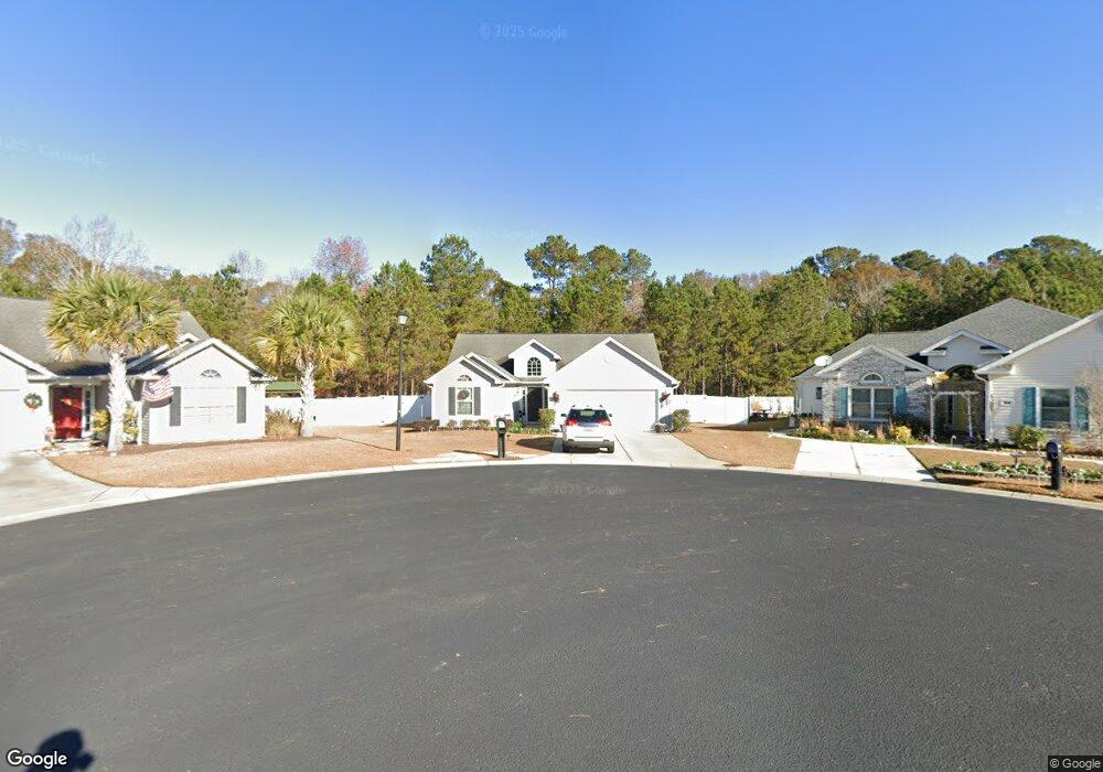
437 Barton Loop Myrtle Beach, SC 29579
Estimated Value: $284,811 - $294,000
3
Beds
2
Baths
1,781
Sq Ft
$163/Sq Ft
Est. Value
About This Home
This home is located at 437 Barton Loop, Myrtle Beach, SC 29579 and is currently estimated at $289,953, approximately $162 per square foot. 437 Barton Loop is a home located in Horry County with nearby schools including River Oaks Elementary School, Ten Oaks Middle, and Carolina Forest High School.
Ownership History
Date
Name
Owned For
Owner Type
Purchase Details
Closed on
Jun 28, 2016
Sold by
Shaw Kimberly M
Bought by
Sims Corey H and Sims Linsey E
Current Estimated Value
Home Financials for this Owner
Home Financials are based on the most recent Mortgage that was taken out on this home.
Original Mortgage
$152,475
Outstanding Balance
$120,393
Interest Rate
3.66%
Estimated Equity
$169,560
Purchase Details
Closed on
Jun 30, 2010
Sold by
Flagship Construction Inc
Bought by
Tierney Kimberly M
Create a Home Valuation Report for This Property
The Home Valuation Report is an in-depth analysis detailing your home's value as well as a comparison with similar homes in the area
Home Values in the Area
Average Home Value in this Area
Purchase History
| Date | Buyer | Sale Price | Title Company |
|---|---|---|---|
| Sims Corey H | $160,500 | -- | |
| Tierney Kimberly M | $153,000 | -- |
Source: Public Records
Mortgage History
| Date | Status | Borrower | Loan Amount |
|---|---|---|---|
| Open | Sims Corey H | $152,475 | |
| Closed | Sims Corey H | $152,475 |
Source: Public Records
Tax History
| Year | Tax Paid | Tax Assessment Tax Assessment Total Assessment is a certain percentage of the fair market value that is determined by local assessors to be the total taxable value of land and additions on the property. | Land | Improvement |
|---|---|---|---|---|
| 2025 | $874 | $0 | $0 | $0 |
| 2024 | $874 | $11,522 | $3,053 | $8,469 |
| 2023 | $874 | $7,422 | $1,414 | $6,008 |
| 2021 | $791 | $7,422 | $1,414 | $6,008 |
| 2020 | $690 | $7,422 | $1,414 | $6,008 |
| 2019 | $690 | $7,422 | $1,414 | $6,008 |
| 2018 | $0 | $6,343 | $1,567 | $4,776 |
| 2017 | $597 | $6,343 | $1,567 | $4,776 |
| 2016 | -- | $5,757 | $1,309 | $4,448 |
| 2015 | $545 | $5,758 | $1,310 | $4,448 |
| 2014 | $504 | $5,758 | $1,310 | $4,448 |
Source: Public Records
Map
Nearby Homes
- 434 Barton Loop
- 374 Barton Loop
- 337 Golan Cir Unit C
- 802 Knobcone Ct
- 200 Yam Dr Unit F
- 3534 Gordon Dr
- 1336 Eagle Terrace Ct
- 713 Kennoway Ct
- 159 Brookgate Dr
- 3648 Eagle Trace Dr
- 3638 Eagle Trace Dr
- 1991 Mossy Point Cove Unit 1991
- 3606 Eagle Trace Dr
- 143 Clovis Cir
- 1101 Peace Pipe Place Unit 104
- 1101 Peace Pipe Place Unit 201
- 1113 Peace Pipe Place Unit 203
- 1121 Peace Pipe Place Unit 204
- 191 Carlisle Way
- 1133 Peace Pipe Place Unit 102
- 437 Barton Loop Unit Highland Woods
- 433 Barton Loop
- 441 Barton Loop
- 445 Barton Loop
- 429 Barton Loop
- 449 Barton Loop
- 425 Barton Loop
- 450 Barton Loop
- 453 Barton Loop
- 454 Barton Loop
- 421 Barton Loop
- 421 Barton Loop Unit Highland Woods
- 457 Barton Loop
- 458 Barton Loop
- 624 Bathurst Dr
- 461 Barton Loop
- 620 Bathurst Dr Unit Highland Woods
- 462 Barton Loop
- 413 Barton Loop
- 616 Bathurst Dr
Your Personal Tour Guide
Ask me questions while you tour the home.