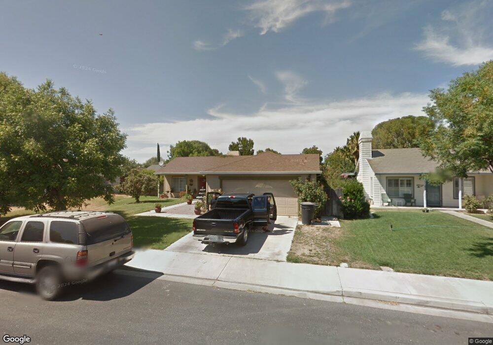
437 Bobolink Ct Newman, CA 95360
Estimated Value: $302,000 - $420,000
3
Beds
2
Baths
1,230
Sq Ft
$306/Sq Ft
Est. Value
About This Home
This home is located at 437 Bobolink Ct, Newman, CA 95360 and is currently estimated at $376,824, approximately $306 per square foot. 437 Bobolink Ct is a home located in Stanislaus County with nearby schools including Orestimba High School.
Ownership History
Date
Name
Owned For
Owner Type
Purchase Details
Closed on
Apr 19, 2000
Sold by
Jane Wood Keith Allen and Jane Sara
Bought by
Gonzales Santiago and Gonzales Sulin Rubi
Current Estimated Value
Home Financials for this Owner
Home Financials are based on the most recent Mortgage that was taken out on this home.
Original Mortgage
$112,726
Outstanding Balance
$38,592
Interest Rate
8.22%
Mortgage Type
FHA
Estimated Equity
$338,232
Create a Home Valuation Report for This Property
The Home Valuation Report is an in-depth analysis detailing your home's value as well as a comparison with similar homes in the area
Home Values in the Area
Average Home Value in this Area
Purchase History
| Date | Buyer | Sale Price | Title Company |
|---|---|---|---|
| Gonzales Santiago | $113,000 | Fidelity National Title Co |
Source: Public Records
Mortgage History
| Date | Status | Borrower | Loan Amount |
|---|---|---|---|
| Open | Gonzales Santiago | $112,726 |
Source: Public Records
Tax History Compared to Growth
Tax History
| Year | Tax Paid | Tax Assessment Tax Assessment Total Assessment is a certain percentage of the fair market value that is determined by local assessors to be the total taxable value of land and additions on the property. | Land | Improvement |
|---|---|---|---|---|
| 2025 | $2,110 | $173,656 | $49,941 | $123,715 |
| 2024 | $2,056 | $170,252 | $48,962 | $121,290 |
| 2023 | $1,999 | $166,914 | $48,002 | $118,912 |
| 2022 | $1,962 | $163,642 | $47,061 | $116,581 |
| 2021 | $1,927 | $160,435 | $46,139 | $114,296 |
| 2020 | $1,888 | $158,791 | $45,666 | $113,125 |
| 2019 | $1,892 | $155,678 | $44,771 | $110,907 |
| 2018 | $1,769 | $152,627 | $43,894 | $108,733 |
| 2017 | $1,911 | $149,635 | $43,034 | $106,601 |
| 2016 | $1,700 | $146,702 | $42,191 | $104,511 |
| 2015 | $1,748 | $144,500 | $41,558 | $102,942 |
| 2014 | $1,628 | $133,000 | $25,000 | $108,000 |
Source: Public Records
Map
Nearby Homes
- 1328 Basil Ct
- 1115 Pintail Ct
- 1351 Barrington Ave
- 507 Lady Slipper Ln
- 1166 Labrador Ct
- 1335 Eucalyptus Ave
- 432 Red Lion Way
- 345 Cinnamon Teal Way
- 1506 Lochbrea Place
- 622 Crevison Peak Dr
- 501 Flour Mill Dr
- 627 Bunting Ln
- 918 Castellona Dr
- 832 Castellona Dr
- 759 Hagerman Peak Dr
- 1939 L St
- 1059 P St
- 1542 P St
- 1122 Fresno St
- 619-657 Inyo Ave
- 431 Bobolink Ave
- 443 Bobolink Ct
- 1042 Magpie Ct
- 425 Bobolink Ave
- 1049 Magpie Ct
- 449 Bobolink Ct
- 464 Sumac Ln
- 1036 Magpie Ct
- 438 Bobolink Ct
- 419 Bobolink Ave
- 1043 Magpie Ct
- 535 Goldenrod Ln
- 529 Goldenrod Ln
- 432 Bobolink Ct
- 426 Bobolink Ct
- 458 Sumac Ln
- 1030 Magpie Ct
- 413 Bobolink Ave
- 541 Goldenrod Ln
- 1040 Grackle Ct