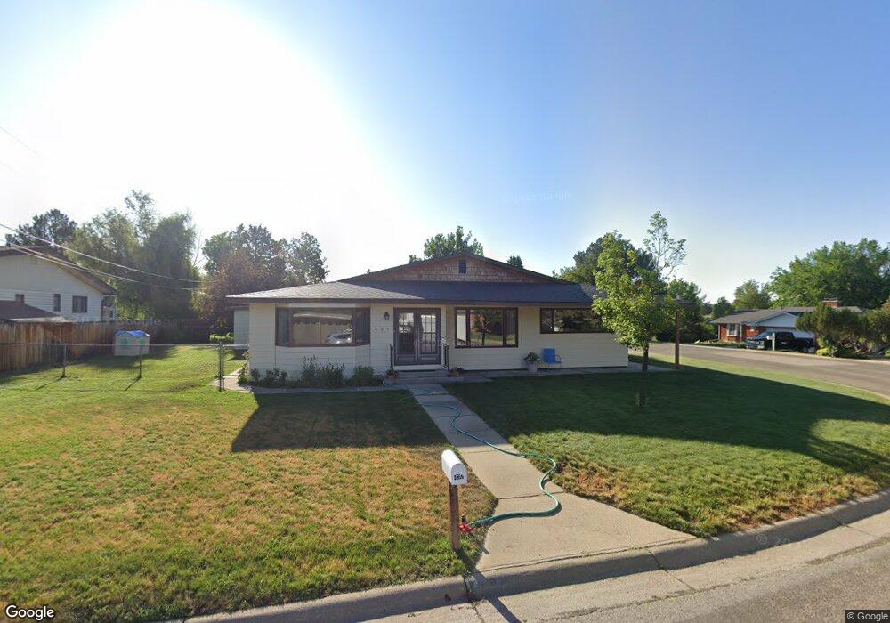
437 Crescent Dr Sheridan, WY 82801
Estimated Value: $510,000 - $528,000
3
Beds
2
Baths
2,471
Sq Ft
$211/Sq Ft
Est. Value
About This Home
This home is located at 437 Crescent Dr, Sheridan, WY 82801 and is currently estimated at $521,732, approximately $211 per square foot. 437 Crescent Dr is a home with nearby schools including Sheridan High School, Holy Name Catholic School, and Martin Luther Grammar School.
Ownership History
Date
Name
Owned For
Owner Type
Purchase Details
Closed on
Jul 29, 2011
Sold by
Longress Nancy
Bought by
Johnston Justin J and Johnston Nicole Y
Current Estimated Value
Home Financials for this Owner
Home Financials are based on the most recent Mortgage that was taken out on this home.
Original Mortgage
$212,000
Outstanding Balance
$146,512
Interest Rate
4.53%
Mortgage Type
New Conventional
Estimated Equity
$375,220
Create a Home Valuation Report for This Property
The Home Valuation Report is an in-depth analysis detailing your home's value as well as a comparison with similar homes in the area
Home Values in the Area
Average Home Value in this Area
Purchase History
| Date | Buyer | Sale Price | Title Company |
|---|---|---|---|
| Johnston Justin J | -- | None Available |
Source: Public Records
Mortgage History
| Date | Status | Borrower | Loan Amount |
|---|---|---|---|
| Open | Johnston Justin J | $212,000 |
Source: Public Records
Tax History Compared to Growth
Tax History
| Year | Tax Paid | Tax Assessment Tax Assessment Total Assessment is a certain percentage of the fair market value that is determined by local assessors to be the total taxable value of land and additions on the property. | Land | Improvement |
|---|---|---|---|---|
| 2025 | $3,053 | $32,501 | $6,130 | $26,371 |
| 2024 | $3,053 | $42,698 | $7,859 | $34,839 |
| 2023 | $2,934 | $41,035 | $6,752 | $34,283 |
| 2022 | $2,573 | $35,983 | $6,111 | $29,872 |
| 2021 | $2,200 | $30,765 | $6,460 | $24,305 |
| 2020 | $2,069 | $28,941 | $5,741 | $23,200 |
| 2019 | $2,021 | $28,271 | $5,741 | $22,530 |
| 2018 | $1,892 | $26,468 | $5,631 | $20,837 |
| 2017 | $1,786 | $24,984 | $5,078 | $19,906 |
| 2015 | $1,743 | $24,377 | $4,556 | $19,821 |
| 2014 | $1,705 | $23,845 | $4,335 | $19,510 |
| 2013 | -- | $23,564 | $3,734 | $19,830 |
Source: Public Records
Map
Nearby Homes
- 36 N Elk St
- 905 W Works St
- 1313 Victoria St
- 489 Nb Ave
- 1324 Lewis St
- 0 Meadowlark Ln
- 556 Old Course Way
- 1467 Lewis St
- 0 Sunrise Unit 25-1146
- 1290 Burton St Unit D
- 1301 Avon St Unit B
- 0 Avon St
- 924 Avon St
- 460 Smith St
- 40 Sunrise Ln
- 0 Bellevue Ave
- 2072 Summit Dr
- 610 S Jefferson St
- TBD Fairway Ct
- 450 S Thurmond St
- 407 Crescent Dr
- 1330 Stonegate Dr
- 444 Crescent Dr
- 410 Crescent Dr
- 1320 Stonegate Dr
- 371 Crescent Dr
- 1366 Stonegate Dr
- 398 Crescent Dr
- 1341 Stonegate Dr
- 31 Crescent Place
- 1316 Stonegate Dr
- 361 Crescent Dr
- 1380 Stonegate Dr
- 1317 Stonegate Dr
- 1355 Stonegate Dr
- 7 Hillcrest Place
- 344 Crescent Dr
- 1310 Stonegate Dr
- 1379 Stonegate Dr
- 1408 Stonegate Dr