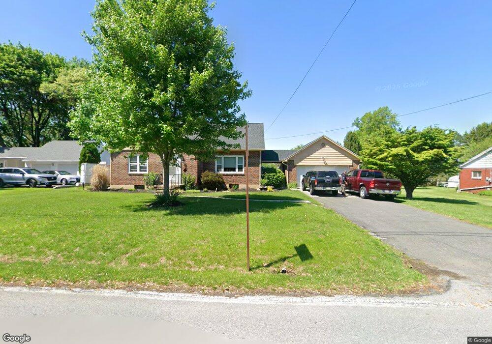
437 Freehall St Mertztown, PA 19539
Longswamp NeighborhoodEstimated Value: $265,000 - $367,000
2
Beds
1
Bath
1,234
Sq Ft
$242/Sq Ft
Est. Value
About This Home
This home is located at 437 Freehall St, Mertztown, PA 19539 and is currently estimated at $298,289, approximately $241 per square foot. 437 Freehall St is a home located in Berks County with nearby schools including Brandywine Heights Elementary School, Brandywine Intermediate School, and Brandywine Heights High School.
Ownership History
Date
Name
Owned For
Owner Type
Purchase Details
Closed on
Sep 28, 2021
Sold by
Koehn Ryan J and Koehn Alisa D
Bought by
Kressley Bryan A
Current Estimated Value
Home Financials for this Owner
Home Financials are based on the most recent Mortgage that was taken out on this home.
Original Mortgage
$213,750
Outstanding Balance
$194,920
Interest Rate
2.8%
Mortgage Type
New Conventional
Estimated Equity
$103,369
Purchase Details
Closed on
Sep 27, 2012
Sold by
Koehn Ryan J and Koehn Alisa D
Bought by
Koehn Ryan J and Koehn Alisa D
Home Financials for this Owner
Home Financials are based on the most recent Mortgage that was taken out on this home.
Original Mortgage
$89,600
Interest Rate
3.62%
Mortgage Type
New Conventional
Purchase Details
Closed on
Jul 23, 2012
Sold by
Snyder Barbara S
Bought by
Koehn Ryan and Schmidt Alisa D
Create a Home Valuation Report for This Property
The Home Valuation Report is an in-depth analysis detailing your home's value as well as a comparison with similar homes in the area
Home Values in the Area
Average Home Value in this Area
Purchase History
| Date | Buyer | Sale Price | Title Company |
|---|---|---|---|
| Kressley Bryan A | $225,000 | Stewart Abstract | |
| Koehn Ryan J | -- | None Available | |
| Koehn Ryan | $112,000 | None Available |
Source: Public Records
Mortgage History
| Date | Status | Borrower | Loan Amount |
|---|---|---|---|
| Open | Kressley Bryan A | $213,750 | |
| Previous Owner | Koehn Ryan J | $89,600 |
Source: Public Records
Tax History Compared to Growth
Tax History
| Year | Tax Paid | Tax Assessment Tax Assessment Total Assessment is a certain percentage of the fair market value that is determined by local assessors to be the total taxable value of land and additions on the property. | Land | Improvement |
|---|---|---|---|---|
| 2025 | $1,012 | $84,600 | $25,400 | $59,200 |
| 2024 | $4,000 | $84,600 | $25,400 | $59,200 |
| 2023 | $3,918 | $84,600 | $25,400 | $59,200 |
| 2022 | $3,831 | $84,600 | $25,400 | $59,200 |
| 2021 | $3,802 | $84,600 | $25,400 | $59,200 |
| 2020 | $3,774 | $84,600 | $25,400 | $59,200 |
| 2019 | $3,718 | $84,600 | $25,400 | $59,200 |
| 2018 | $3,679 | $84,600 | $25,400 | $59,200 |
| 2017 | $3,614 | $84,600 | $25,400 | $59,200 |
| 2016 | $843 | $84,600 | $25,400 | $59,200 |
| 2015 | $843 | $84,600 | $25,400 | $59,200 |
| 2014 | $843 | $84,600 | $25,400 | $59,200 |
Source: Public Records
Map
Nearby Homes
- 106 Hoch Ave
- 37 S Herbein Dr
- 0 State St Unit PABK2055498
- 0 State St Unit PABK2047158
- 116 W Franklin St
- 210 S Home Ave
- 32 N Main St
- 101 Cider Mill Rd
- 11 Woodland Ln
- 3 Woodland Ln
- 573 State St
- 13 Timothy Dr
- 44 S Park Ave
- 334 Old Topton Rd
- 0 S Park Ave
- 0 Chestnut St
- 608 Old Topton Rd
- 25 Roth Ave
- 149 Smoketown Rd
- 61 Mabry St
- 433 Freehall St
- 439 Freehall St
- 0 Freehall St Unit 1007354978
- 3 Freehall St
- 2 Freehall St
- 1 Freehall St
- 0 Freehall St Unit 6393540
- 0 Freehall St Unit PABK2029832
- 420 Freehall St
- 445 Freehall St
- 440 W State St
- 429 Freehall St
- 448 Freehall St
- 446 Freehall St
- 430 W State St
- 449 Freehall St
- 450 Freehall St
- 423 Freehall St
- 454 Freehall St
- 536 Celia Ave