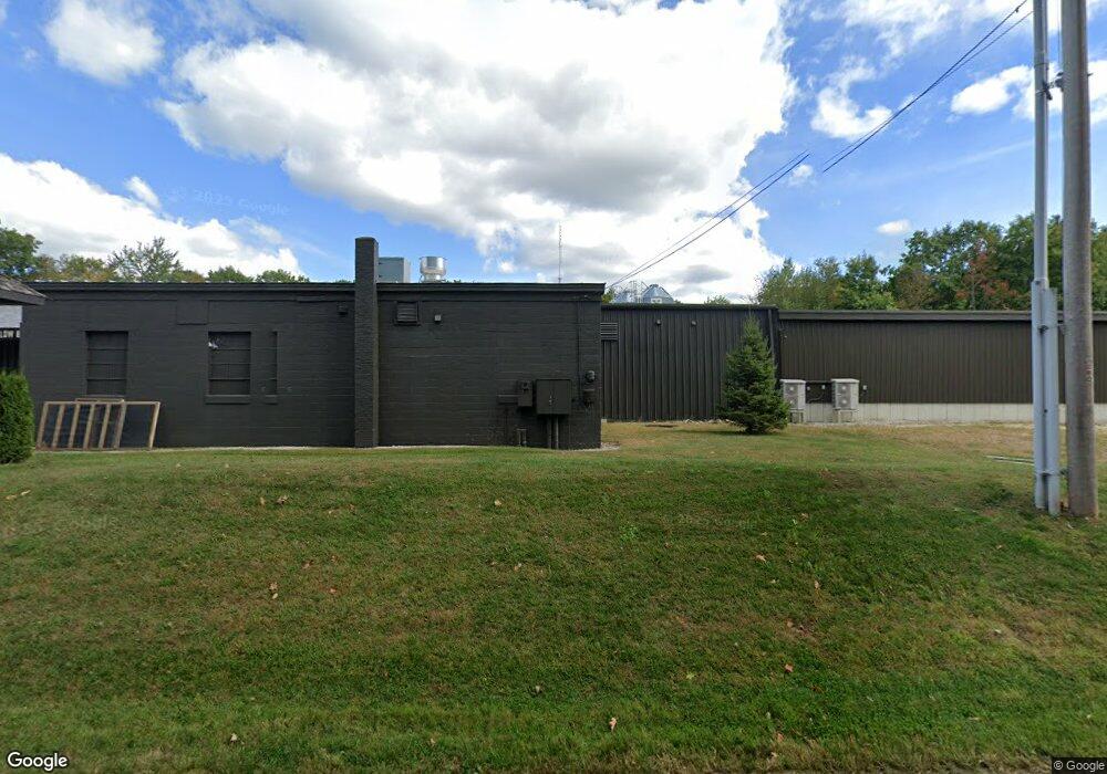
437 Lewiston Rd New Gloucester, ME 04260
Estimated Value: $1,475,029
--
Bed
--
Bath
--
Sq Ft
7.6
Acres
About This Home
This home is located at 437 Lewiston Rd, New Gloucester, ME 04260 and is currently estimated at $1,475,029. 437 Lewiston Rd is a home located in Cumberland County with nearby schools including Gray-New Gloucester High School.
Ownership History
Date
Name
Owned For
Owner Type
Purchase Details
Closed on
Mar 1, 2023
Sold by
Nu Property Llc
Bought by
Brickyard Property Llc
Current Estimated Value
Home Financials for this Owner
Home Financials are based on the most recent Mortgage that was taken out on this home.
Original Mortgage
$651,000
Outstanding Balance
$629,164
Interest Rate
6.15%
Mortgage Type
Purchase Money Mortgage
Estimated Equity
$845,865
Purchase Details
Closed on
Feb 15, 2018
Sold by
Aec Realty Of Maine Llc
Bought by
Nu Property Llc
Home Financials for this Owner
Home Financials are based on the most recent Mortgage that was taken out on this home.
Original Mortgage
$320,000
Interest Rate
3.95%
Mortgage Type
New Conventional
Purchase Details
Closed on
Jan 7, 2013
Sold by
Stores Oliver
Bought by
Aec Realty Of Maine Llc
Create a Home Valuation Report for This Property
The Home Valuation Report is an in-depth analysis detailing your home's value as well as a comparison with similar homes in the area
Home Values in the Area
Average Home Value in this Area
Purchase History
| Date | Buyer | Sale Price | Title Company |
|---|---|---|---|
| Brickyard Property Llc | $1,175,000 | None Available | |
| Nu Property Llc | -- | -- | |
| Aec Realty Of Maine Llc | -- | -- | |
| Aec Realty Of Maine Llc | -- | -- |
Source: Public Records
Mortgage History
| Date | Status | Borrower | Loan Amount |
|---|---|---|---|
| Open | Brickyard Property Llc | $651,000 | |
| Previous Owner | Nu Property Llc | $320,000 |
Source: Public Records
Tax History Compared to Growth
Tax History
| Year | Tax Paid | Tax Assessment Tax Assessment Total Assessment is a certain percentage of the fair market value that is determined by local assessors to be the total taxable value of land and additions on the property. | Land | Improvement |
|---|---|---|---|---|
| 2025 | $20,055 | $1,296,351 | $180,700 | $1,115,651 |
| 2024 | $19,303 | $1,296,351 | $180,700 | $1,115,651 |
| 2023 | $6,319 | $442,201 | $145,700 | $296,501 |
| 2022 | $6,102 | $442,201 | $145,700 | $296,501 |
| 2021 | $6,102 | $442,201 | $145,700 | $296,501 |
| 2020 | $6,036 | $442,201 | $145,700 | $296,501 |
| 2019 | $5,040 | $298,200 | $96,300 | $201,900 |
| 2018 | $3,342 | $211,500 | $72,300 | $139,200 |
| 2017 | $3,169 | $211,500 | $72,300 | $139,200 |
| 2016 | $3,109 | $211,500 | $72,300 | $139,200 |
| 2015 | $3,098 | $211,500 | $72,300 | $139,200 |
| 2014 | $3,067 | $211,500 | $72,300 | $139,200 |
| 2013 | $2,845 | $211,500 | $72,300 | $139,200 |
Source: Public Records
Map
Nearby Homes
- 155 & 151 Gloucester Hill Rd
- 0018-C Gloucester Hill Rd
- 22 Shaw Rd
- 160 Gloucester Hill Rd
- 29 Rockwood Dr
- 271 Bennett Rd
- TBD Targett Rd
- 10 Cobbs Bridge Rd
- 24 Swamp Rd
- 164 Intervale Rd
- 65 Blueberry Ln
- 200 Woodman Rd
- 14 Golden Way
- 0 Mayall
- 343 Shaker Rd
- 12 Country Charm Ln
- 423 Sabbathday Rd
- 4 Chelsey Ln
- 10-56 C&E Bowdoin Way
- 27 Callaway Dr Unit 27A
- 430 Lewiston Rd Unit A
- 430 Lewiston Rd
- 449 Lewiston Rd
- 416 Lewiston Rd
- 446 Lewiston Rd
- 409 Lewiston Rd
- 46 Windmill Rd
- 30 Windmill Rd
- 30 Windmill Rd
- 38 Windmill Rd
- 24 Windmill Rd
- 463 Lewiston Rd
- 473 Lewiston Rd
- 12 Windmill Rd
- 83 Bennett Rd
- 37 Windmill Rd
- 45 Windmill Rd
- 29 Windmill Rd
- 21 Windmill Rd
- 67 Short Bennett Rd