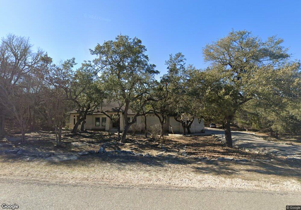
437 Long Meadow Spring Branch, TX 78070
Estimated Value: $819,967 - $894,000
3
Beds
4
Baths
3,750
Sq Ft
$233/Sq Ft
Est. Value
About This Home
This home is located at 437 Long Meadow, Spring Branch, TX 78070 and is currently estimated at $874,242, approximately $233 per square foot. 437 Long Meadow is a home located in Comal County with nearby schools including Bill Brown Elementary School, Smithson Valley Middle School, and Smithson Valley High School.
Ownership History
Date
Name
Owned For
Owner Type
Purchase Details
Closed on
Oct 1, 2009
Sold by
Weil Harvey C and Weil Harvey W
Bought by
Weil Debra
Current Estimated Value
Home Financials for this Owner
Home Financials are based on the most recent Mortgage that was taken out on this home.
Original Mortgage
$231,500
Outstanding Balance
$150,862
Interest Rate
5.2%
Mortgage Type
Purchase Money Mortgage
Estimated Equity
$723,380
Purchase Details
Closed on
Sep 15, 2009
Sold by
Woolbert Laura E and Woolbert Stephen J
Bought by
Weil Harvey W and Weil Debra
Home Financials for this Owner
Home Financials are based on the most recent Mortgage that was taken out on this home.
Original Mortgage
$231,500
Outstanding Balance
$150,862
Interest Rate
5.2%
Mortgage Type
Purchase Money Mortgage
Estimated Equity
$723,380
Create a Home Valuation Report for This Property
The Home Valuation Report is an in-depth analysis detailing your home's value as well as a comparison with similar homes in the area
Home Values in the Area
Average Home Value in this Area
Purchase History
| Date | Buyer | Sale Price | Title Company |
|---|---|---|---|
| Weil Debra | -- | None Available | |
| Weil Harvey W | -- | Atc |
Source: Public Records
Mortgage History
| Date | Status | Borrower | Loan Amount |
|---|---|---|---|
| Open | Weil Harvey W | $231,500 | |
| Closed | Weil Debra | $0 |
Source: Public Records
Tax History
| Year | Tax Paid | Tax Assessment Tax Assessment Total Assessment is a certain percentage of the fair market value that is determined by local assessors to be the total taxable value of land and additions on the property. | Land | Improvement |
|---|---|---|---|---|
| 2025 | $4,647 | $824,760 | $171,270 | $653,490 |
| 2024 | $4,647 | $767,003 | -- | -- |
| 2023 | $4,647 | $697,275 | -- | -- |
| 2022 | $6,764 | $633,886 | -- | -- |
| 2021 | $10,265 | $576,260 | $99,920 | $476,340 |
| 2020 | $9,784 | $528,020 | $79,930 | $448,090 |
| 2019 | $9,674 | $509,680 | $76,130 | $433,550 |
| 2018 | $9,019 | $476,430 | $55,150 | $421,280 |
| 2017 | $9,010 | $479,780 | $60,960 | $418,820 |
| 2016 | $8,624 | $459,230 | $58,060 | $401,170 |
| 2015 | $8,155 | $458,640 | $58,060 | $400,580 |
| 2014 | $8,155 | $434,230 | $58,060 | $376,170 |
Source: Public Records
Map
Nearby Homes
- 2291 Frontier
- 2317 Frontier
- 2103 Frontier
- 250 Misty Brook
- 2437 River Way
- 227 Champions Ridge
- 254 Sawgrass
- 811 Long Meadow
- 1700 Frontier
- 190 Saddle Ridge
- 889 Long Meadow
- 913 Long Meadow
- 386 Wentworth
- 321 Bentwood Dr
- 260 Wentworth
- 130 Grey Mist
- 142 Bentwood Dr
- 478 Bentwood Dr
- 1061 River Way
- 429 Fossil Hills Loop
- 461 Long Meadow
- 413 Long Meadow
- 434 Long Meadow
- 446 Long Meadow
- 422 Long Meadow
- 454 Long Meadow
- 379 Long Meadow
- 483 Long Meadow
- 468 Long Meadow
- 410 Long Meadow
- 357 Long Meadow
- 476 Long Meadow
- 2237 Frontier
- 2225 Frontier
- 378 Long Meadow
- 488 Long Meadow
- 2279 Frontier
- 123 Misty Brook
- 504 Long Meadow
- 356 Long Meadow
Your Personal Tour Guide
Ask me questions while you tour the home.