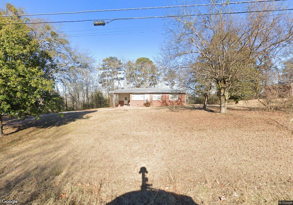
437 MacLand Rd Dallas, GA 30132
East Paulding County NeighborhoodEstimated Value: $208,000 - $242,000
3
Beds
1
Bath
975
Sq Ft
$224/Sq Ft
Est. Value
About This Home
This home is located at 437 MacLand Rd, Dallas, GA 30132 and is currently estimated at $217,936, approximately $223 per square foot. 437 MacLand Rd is a home located in Paulding County with nearby schools including Dallas Elementary School, P. B. Ritch Middle School, and East Paulding High School.
Ownership History
Date
Name
Owned For
Owner Type
Purchase Details
Closed on
Mar 26, 2014
Sold by
Henson James R
Bought by
Witsell Thomas F
Current Estimated Value
Home Financials for this Owner
Home Financials are based on the most recent Mortgage that was taken out on this home.
Original Mortgage
$76,612
Outstanding Balance
$58,371
Interest Rate
4.4%
Mortgage Type
VA
Estimated Equity
$159,565
Purchase Details
Closed on
Feb 17, 2006
Sold by
Westbrook Van D Trust
Bought by
Henson James R
Home Financials for this Owner
Home Financials are based on the most recent Mortgage that was taken out on this home.
Original Mortgage
$75,000
Interest Rate
5.71%
Mortgage Type
New Conventional
Create a Home Valuation Report for This Property
The Home Valuation Report is an in-depth analysis detailing your home's value as well as a comparison with similar homes in the area
Home Values in the Area
Average Home Value in this Area
Purchase History
| Date | Buyer | Sale Price | Title Company |
|---|---|---|---|
| Witsell Thomas F | $75,000 | -- | |
| Henson James R | $100,000 | -- |
Source: Public Records
Mortgage History
| Date | Status | Borrower | Loan Amount |
|---|---|---|---|
| Open | Witsell Thomas F | $76,612 | |
| Previous Owner | Henson James R | $75,000 |
Source: Public Records
Tax History Compared to Growth
Tax History
| Year | Tax Paid | Tax Assessment Tax Assessment Total Assessment is a certain percentage of the fair market value that is determined by local assessors to be the total taxable value of land and additions on the property. | Land | Improvement |
|---|---|---|---|---|
| 2024 | $443 | $70,124 | $11,480 | $58,644 |
| 2023 | $503 | $66,440 | $10,920 | $55,520 |
| 2022 | $843 | $56,124 | $9,160 | $46,964 |
| 2021 | $697 | $42,276 | $7,720 | $34,556 |
| 2020 | $622 | $37,352 | $7,360 | $29,992 |
| 2019 | $549 | $33,148 | $6,600 | $26,548 |
| 2018 | $419 | $27,000 | $8,880 | $18,120 |
| 2017 | $686 | $24,316 | $8,520 | $15,796 |
| 2016 | $588 | $21,309 | $8,520 | $12,789 |
| 2015 | $554 | $19,869 | $8,360 | $11,509 |
| 2014 | $574 | $18,189 | $8,200 | $9,989 |
| 2013 | -- | $16,760 | $9,120 | $7,640 |
Source: Public Records
Map
Nearby Homes
- 413 W I Pkwy
- 50 MacLand Township Dr
- 68 MacLand Township Dr
- 301 Allegheny Ave
- 112 Appalachian Trail
- 633 Coach Bobby Dodd Rd
- 119 Appalachian Trail
- 26 Dublin Way
- 222 Mount Laurel Dr
- 35 Donegal Ct
- 55 Donegal Way
- 51 Donegal Ct
- 29 Donegal Ct
- 61 Donegal Way
- 138 Donegal Way
- 255 Dublin Way
- 183 Arrowhead Dr
- 443 Dublin Way
- 292 Dublin Way
- 674 Graham Rd
- 481 MacLand Rd
- 46 Circle Hill Dr
- 452 MacLand Rd
- 31 Circle Hill Dr
- 468 MacLand Rd
- 410A MacLand Rd
- 410 MacLand Rd
- 410 MacLand Rd Unit B
- 478 MacLand Rd
- 0 Circle Hill Dr Unit 3152490
- 0 Circle Hill Dr Unit 8231558
- 0 Circle Hill Dr
- 509 MacLand Rd
- 0 Sunset Dr
- 0 Sunset Dr Unit 10190822
- 0 Sunset Dr Unit 7258992
- 0 Sunset Dr Unit 7110953
- 0 Sunset Dr Unit 8219893
- 0 Sunset Dr Unit 7528149
- 0 Sunset Dr Unit 7298043