Estimated Value: $356,000 - $575,000
3
Beds
2
Baths
2,511
Sq Ft
$168/Sq Ft
Est. Value
About This Home
This home is located at 437 Port Dr, Lusby, MD 20657 and is currently estimated at $422,736, approximately $168 per square foot. 437 Port Dr is a home located in Calvert County with nearby schools including Dowell Elementary School, Mill Creek Middle School, and Patuxent High School.
Ownership History
Date
Name
Owned For
Owner Type
Purchase Details
Closed on
Jun 29, 2009
Sold by
Younger Ernest Carlton
Bought by
King Dennis R and King Rebecca L
Current Estimated Value
Purchase Details
Closed on
Mar 28, 2003
Sold by
Younger Ernest Carlton
Bought by
Younger Ernest Carlton and Redmond Dorothy V
Purchase Details
Closed on
Dec 14, 1998
Sold by
Cullen James Paula Jean
Bought by
Redmond Dorothy V and Younger Ernest C
Create a Home Valuation Report for This Property
The Home Valuation Report is an in-depth analysis detailing your home's value as well as a comparison with similar homes in the area
Home Values in the Area
Average Home Value in this Area
Purchase History
| Date | Buyer | Sale Price | Title Company |
|---|---|---|---|
| King Dennis R | $325,000 | -- | |
| Younger Ernest Carlton | -- | -- | |
| Redmond Dorothy V | $155,000 | -- |
Source: Public Records
Mortgage History
| Date | Status | Borrower | Loan Amount |
|---|---|---|---|
| Closed | King Dennis R | -- |
Source: Public Records
Tax History Compared to Growth
Tax History
| Year | Tax Paid | Tax Assessment Tax Assessment Total Assessment is a certain percentage of the fair market value that is determined by local assessors to be the total taxable value of land and additions on the property. | Land | Improvement |
|---|---|---|---|---|
| 2025 | $2,876 | $265,767 | $0 | $0 |
| 2024 | $2,876 | $246,433 | $0 | $0 |
| 2023 | $2,574 | $227,100 | $85,500 | $141,600 |
| 2022 | $2,459 | $216,400 | $0 | $0 |
| 2021 | $2,241 | $205,700 | $0 | $0 |
| 2020 | $2,241 | $195,000 | $85,500 | $109,500 |
| 2019 | $2,248 | $195,000 | $85,500 | $109,500 |
| 2018 | $2,235 | $195,000 | $85,500 | $109,500 |
| 2017 | $2,448 | $212,600 | $0 | $0 |
| 2016 | -- | $209,467 | $0 | $0 |
| 2015 | $2,520 | $206,333 | $0 | $0 |
| 2014 | $2,520 | $203,200 | $0 | $0 |
Source: Public Records
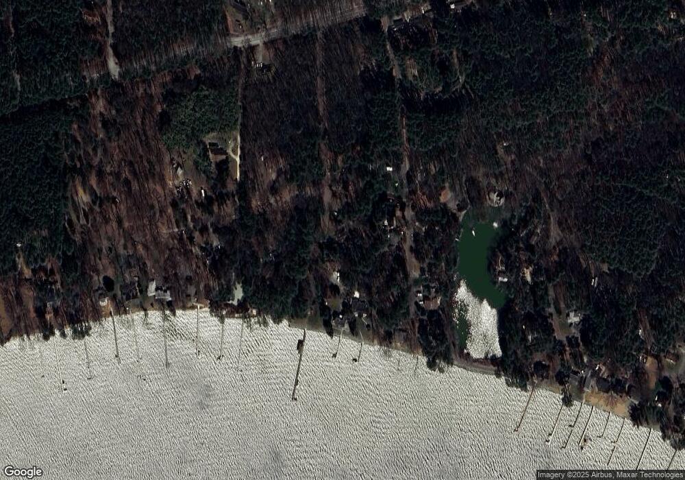
Map
Nearby Homes
- 13109 River View Dr
- 13155 Rousby Hall Rd
- 257 Lessin Dr
- 310 Mcmichaels Dr
- 12948 Walsh Ln
- 330 Lessin Dr
- 12924 Rousby Hall Rd
- 419 Seagull Ln
- 340 Chestnut Dr
- 13021 Mills Creek Dr
- 12963 Mills Creek Dr
- 298 Cove Dr
- 422 Overlook Dr
- 421 Overlook Dr
- 422 Lessin Dr
- 12987 Holly Way
- 13304 Rousby Hall Rd
- 12948 Huron Dr
- 369 Deer Dr
- 266 Deer Dr
- 433 Port Dr
- 13091 Port Ln
- 13095 Port Ln
- 13110 Patuxent Dr
- 13145 River View Dr
- 429 Port Dr
- 13141 River View Dr
- 13153 River View Dr
- 13157 River View Dr
- 13137 River View Dr
- 13161 River View Dr
- 424 Port Dr
- 425 Port Dr
- 13133 River View Dr
- 13165 River View Dr
- 13092 Port Ln
- 13090 Port Ln
- 13094 Port Ln
- 13138 River View Dr
- 13154 River View Dr