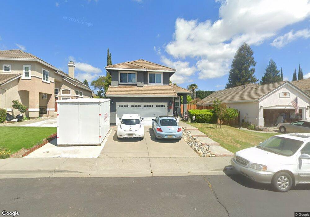
437 Rolling Oak Dr Vacaville, CA 95688
Estimated Value: $610,422 - $702,000
3
Beds
3
Baths
1,859
Sq Ft
$356/Sq Ft
Est. Value
About This Home
This home is located at 437 Rolling Oak Dr, Vacaville, CA 95688 and is currently estimated at $661,606, approximately $355 per square foot. 437 Rolling Oak Dr is a home located in Solano County with nearby schools including Browns Valley Elementary School, Willis Jepson Middle School, and Vacaville High School.
Ownership History
Date
Name
Owned For
Owner Type
Purchase Details
Closed on
Aug 15, 2022
Sold by
Borden Joel D and Borden Ronda L
Bought by
Borden Family Revocable Trust and Borden
Current Estimated Value
Purchase Details
Closed on
Nov 6, 1998
Sold by
Jay Edward & Karen T
Bought by
Borden Joel D and Borden Ronda L
Home Financials for this Owner
Home Financials are based on the most recent Mortgage that was taken out on this home.
Original Mortgage
$163,800
Interest Rate
10.5%
Create a Home Valuation Report for This Property
The Home Valuation Report is an in-depth analysis detailing your home's value as well as a comparison with similar homes in the area
Purchase History
| Date | Buyer | Sale Price | Title Company |
|---|---|---|---|
| Borden Family Revocable Trust | -- | Knecht David W | |
| Borden Joel D | $182,000 | Fidelity National Title Co |
Source: Public Records
Mortgage History
| Date | Status | Borrower | Loan Amount |
|---|---|---|---|
| Previous Owner | Borden Joel D | $163,800 |
Source: Public Records
Tax History
| Year | Tax Paid | Tax Assessment Tax Assessment Total Assessment is a certain percentage of the fair market value that is determined by local assessors to be the total taxable value of land and additions on the property. | Land | Improvement |
|---|---|---|---|---|
| 2025 | $3,395 | $287,977 | $70,537 | $217,440 |
| 2024 | $3,395 | $282,331 | $69,154 | $213,177 |
| 2023 | $3,316 | $276,796 | $67,800 | $208,996 |
| 2022 | $3,263 | $271,370 | $66,471 | $204,899 |
| 2021 | $3,349 | $266,050 | $65,168 | $200,882 |
| 2020 | $3,302 | $263,323 | $64,500 | $198,823 |
| 2019 | $3,242 | $258,161 | $63,236 | $194,925 |
| 2018 | $3,203 | $253,100 | $61,997 | $191,103 |
| 2017 | $3,077 | $248,138 | $60,782 | $187,356 |
| 2016 | $3,049 | $243,274 | $59,591 | $183,683 |
| 2015 | $3,006 | $239,620 | $58,696 | $180,924 |
| 2014 | $2,830 | $234,927 | $57,547 | $177,380 |
Source: Public Records
Map
Nearby Homes
- 406 Rolling Oak Dr
- 1073 Villaggio Cir
- 2000 Linden Ct
- 2024 Linden Ct
- 190 Waterford Dr
- 976 Cashel Cir
- 384 Dublin Way
- 860 Elderberry Loop
- 267 Sunridge Way
- 736 Dellwood Ct
- 275 Rolling Sage Cir
- 6141 N Vine St
- 2030 Pinecrest Ct
- 2018 Pinecrest Ct
- 2054 Pinecrest Ct
- 2024 Pinecrest Ct
- 0 Gibson Canyon Rd Unit 325095016
- 0 Gibson Canyon Rd Unit 325089916
- 0 Gibson Canyon Rd Unit 325095019
- 0 Gibson Canyon Rd Unit 325095015
- 431 Rolling Oak Dr
- 443 Rolling Oak Dr
- 425 Rolling Oak Dr
- 449 Rolling Oak Dr
- 648 Eagle River Ct
- 642 Eagle River Ct
- 636 Eagle River Ct
- 630 Eagle River Ct
- 419 Rolling Oak Dr
- 455 Rolling Oak Dr
- 436 Rolling Oak Dr
- 654 Eagle River Ct
- 442 Rolling Oak Dr
- 430 Rolling Oak Dr
- 424 Rolling Oak Dr
- 448 Rolling Oak Dr
- 413 Rolling Oak Dr
- 507 Rolling Oak Ct
- 618 Eagle River Ct
Your Personal Tour Guide
Ask me questions while you tour the home.