Estimated Value: $325,000 - $413,000
3
Beds
1
Bath
1,492
Sq Ft
$253/Sq Ft
Est. Value
About This Home
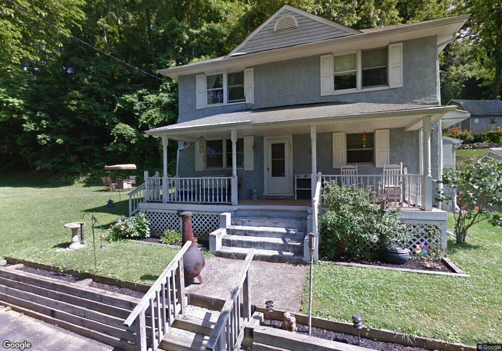
This home is located at 437 Station Rd, Media, PA 19063 and is currently estimated at $376,820, approximately $252 per square foot. 437 Station Rd is a home located in Delaware County with nearby schools including Glenwood Elementary School, Springton Lake Middle School, and Penncrest High School.
Ownership History
Date
Name
Owned For
Owner Type
Purchase Details
Closed on
Mar 31, 2006
Sold by
Simcox Daniel and Simcox Margo
Bought by
Regan Kevin C and Regan Julie Snow
Current Estimated Value
Home Financials for this Owner
Home Financials are based on the most recent Mortgage that was taken out on this home.
Original Mortgage
$153,600
Outstanding Balance
$88,472
Interest Rate
6.4%
Mortgage Type
Purchase Money Mortgage
Estimated Equity
$288,348
Purchase Details
Closed on
Aug 29, 1997
Sold by
Sareyka Steven C and Sareyka Lorrie A
Bought by
Simcox Daniel and Simcox Margo
Create a Home Valuation Report for This Property
The Home Valuation Report is an in-depth analysis detailing your home's value as well as a comparison with similar homes in the area
Home Values in the Area
Average Home Value in this Area
Purchase History
| Date | Buyer | Sale Price | Title Company |
|---|---|---|---|
| Regan Kevin C | $192,000 | None Available | |
| Simcox Daniel | $98,000 | -- |
Source: Public Records
Mortgage History
| Date | Status | Borrower | Loan Amount |
|---|---|---|---|
| Open | Regan Kevin C | $153,600 |
Source: Public Records
Tax History Compared to Growth
Tax History
| Year | Tax Paid | Tax Assessment Tax Assessment Total Assessment is a certain percentage of the fair market value that is determined by local assessors to be the total taxable value of land and additions on the property. | Land | Improvement |
|---|---|---|---|---|
| 2025 | $3,837 | $198,470 | $68,860 | $129,610 |
| 2024 | $3,837 | $198,470 | $68,860 | $129,610 |
| 2023 | $3,702 | $198,470 | $68,860 | $129,610 |
| 2022 | $3,607 | $198,470 | $68,860 | $129,610 |
| 2021 | $6,142 | $198,470 | $68,860 | $129,610 |
| 2020 | $4,048 | $120,020 | $44,590 | $75,430 |
| 2019 | $3,919 | $120,020 | $44,590 | $75,430 |
| 2018 | $3,864 | $120,020 | $0 | $0 |
| 2017 | $3,778 | $120,020 | $0 | $0 |
| 2016 | $659 | $120,020 | $0 | $0 |
| 2015 | $672 | $120,020 | $0 | $0 |
| 2014 | $659 | $120,020 | $0 | $0 |
Source: Public Records
Map
Nearby Homes
- 346 Lenni Rd
- 234 Elm Ave
- 305 Crozerville Rd
- 208 S Pennell Rd
- 206 Chestnut Ave
- 131 Junction Rd
- 3 Rolling Heights Ln
- 117 Segel Dr
- 237 Harvey Ln
- 220 Spring Valley Way
- 30 Rampart W
- 440 Derry Dr Unit 440
- 209 Martins Ln
- 23 Rampart W
- 268 Miley Rd Unit 268
- 277 W Baltimore Pike
- 21 Hoag Ln
- 242 Moria Place
- 108 Grace Ln
- 226 Moria Place
- 435 Station Rd
- 425 Station Rd
- 427 Station Rd
- 427 Station Ln
- Lot #6 Elms at Lenni
- Lot #B Elms at Lenni
- Lot # 5 Elms at Lenni
- Lot # 5 925 Elms at Lenni
- 419 Lenni Rd
- 415 Lenni Rd
- 423 Lenni Rd
- 421 Lenni Rd
- 403 Lenni Rd
- 423 Lenni Rd
- 452 Lenni Rd
- 414 Lenni Rd
- 411 Lenni Rd
- 404 Lenni Rd
- 409 Lenni Rd
- 405 Lenni Rd