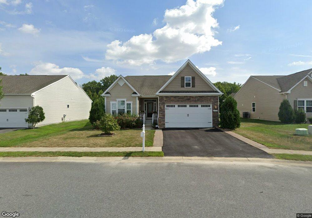
437 Tunbridge Ct Millsboro, DE 19966
Estimated Value: $396,000 - $550,000
3
Beds
2
Baths
1,407
Sq Ft
$315/Sq Ft
Est. Value
About This Home
This home is located at 437 Tunbridge Ct, Millsboro, DE 19966 and is currently estimated at $443,244, approximately $315 per square foot. 437 Tunbridge Ct is a home located in Sussex County with nearby schools including East Millsboro Elementary School, Millsboro Middle School, and Sussex Central High School.
Ownership History
Date
Name
Owned For
Owner Type
Purchase Details
Closed on
Jul 19, 2016
Sold by
Nvr Inc
Bought by
Leveillee Carol L and Leveillee Mark J
Current Estimated Value
Home Financials for this Owner
Home Financials are based on the most recent Mortgage that was taken out on this home.
Original Mortgage
$324,153
Outstanding Balance
$258,605
Interest Rate
3.56%
Mortgage Type
New Conventional
Estimated Equity
$184,639
Purchase Details
Closed on
Mar 25, 2016
Sold by
Radish Farms Llc
Bought by
Nvr Inc
Create a Home Valuation Report for This Property
The Home Valuation Report is an in-depth analysis detailing your home's value as well as a comparison with similar homes in the area
Home Values in the Area
Average Home Value in this Area
Purchase History
| Date | Buyer | Sale Price | Title Company |
|---|---|---|---|
| Leveillee Carol L | $324,153 | None Available | |
| Nvr Inc | -- | None Available |
Source: Public Records
Mortgage History
| Date | Status | Borrower | Loan Amount |
|---|---|---|---|
| Open | Leveillee Carol L | $324,153 |
Source: Public Records
Tax History Compared to Growth
Tax History
| Year | Tax Paid | Tax Assessment Tax Assessment Total Assessment is a certain percentage of the fair market value that is determined by local assessors to be the total taxable value of land and additions on the property. | Land | Improvement |
|---|---|---|---|---|
| 2025 | $1,092 | $24,750 | $1,500 | $23,250 |
| 2024 | $1,047 | $24,750 | $1,500 | $23,250 |
| 2023 | $1,046 | $24,750 | $1,500 | $23,250 |
| 2022 | $1,030 | $24,750 | $1,500 | $23,250 |
| 2021 | $1,000 | $24,750 | $1,500 | $23,250 |
| 2020 | $955 | $24,750 | $1,500 | $23,250 |
| 2019 | $951 | $24,750 | $1,500 | $23,250 |
| 2018 | $960 | $24,750 | $0 | $0 |
| 2017 | $968 | $24,750 | $0 | $0 |
| 2016 | $831 | $24,750 | $0 | $0 |
| 2015 | $52 | $1,500 | $0 | $0 |
| 2014 | $51 | $1,500 | $0 | $0 |
Source: Public Records
Map
Nearby Homes
- 428 Tunbridge Ct
- 429 Tunbridge Ct
- 402 Tunbridge Ct
- 316 Amberly Ct
- 105 E Bourne Way
- 27932 Home Farm Dr
- 30043 Plantation Dr
- 29880 Plantation Dr Unit A22
- 25104 Aspen Cir
- 0 Cedar St
- 28103 Kingsbury
- 27003 Greenleaf Dr
- 28107 Kingsbury Ln
- 25205 Sweetgum Way
- 30216 Cottage Ln
- 28192 Kingsbury Ln
- 29745 Highbridge Way
- 24802 Wye Mill Ln
- 24804 Wye Mill Ln
- 24818 Wye Mill Ln
- 435 Tunbridge Ct
- 439 Tunbridge Ct
- 441 Tunbridge Ct
- 420 Tunbridge Ct
- 422 Tunbridge Ct
- 433 Tunbridge Ct
- 424 Tunbridge Ct
- 443 Tunbridge Ct
- 431 Tunbridge Ct
- 445 Tunbridge Ct
- 418 Tunbridge Ct
- 426 Tunbridge Ct
- 427 Tunbridge Ct
- 425 Tunbridge Ct
- 416 Tunbridge Ct
- 447 Tunbridge Ct
- 414 Tunbridge Ct
- 449 Tunbridge Ct
- 430 Tunbridge Ct Unit 46
- 430 Tunbridge Ct