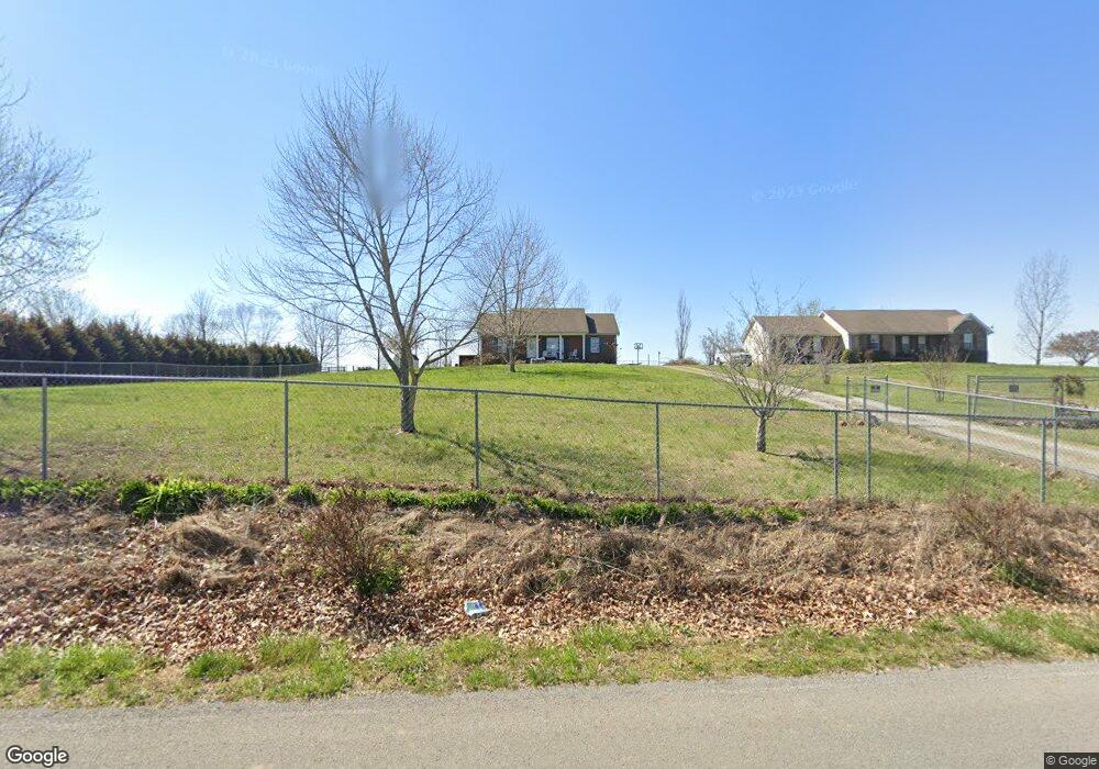
4370 Airport Rd Springfield, TN 37172
Estimated Value: $259,279 - $300,000
Studio
2
Baths
1,242
Sq Ft
$230/Sq Ft
Est. Value
About This Home
This home is located at 4370 Airport Rd, Springfield, TN 37172 and is currently estimated at $285,820, approximately $230 per square foot. 4370 Airport Rd is a home located in Robertson County with nearby schools including Cheatham Park Elementary School, Westside Elementary School, and Jo Byrns High School.
Ownership History
Date
Name
Owned For
Owner Type
Purchase Details
Closed on
Jul 6, 2004
Sold by
Etal Moore Donald R
Bought by
Thomas Jason W and Thomas Somer P
Current Estimated Value
Purchase Details
Closed on
Nov 12, 2003
Bought by
Ram Builders Llc
Purchase Details
Closed on
Feb 24, 1993
Bought by
Murphy Marie H
Create a Home Valuation Report for This Property
The Home Valuation Report is an in-depth analysis detailing your home's value as well as a comparison with similar homes in the area
Home Values in the Area
Average Home Value in this Area
Purchase History
| Date | Buyer | Sale Price | Title Company |
|---|---|---|---|
| Thomas Jason W | $109,900 | -- | |
| Ram Builders Llc | $85,000 | -- | |
| Murphy Marie H | -- | -- |
Source: Public Records
Tax History
| Year | Tax Paid | Tax Assessment Tax Assessment Total Assessment is a certain percentage of the fair market value that is determined by local assessors to be the total taxable value of land and additions on the property. | Land | Improvement |
|---|---|---|---|---|
| 2025 | $940 | $52,250 | $9,475 | $42,775 |
| 2024 | $940 | $52,250 | $9,475 | $42,775 |
| 2023 | $941 | $52,250 | $9,475 | $42,775 |
| 2022 | $844 | $32,775 | $4,875 | $27,900 |
| 2021 | $844 | $32,775 | $4,875 | $27,900 |
| 2020 | $844 | $32,775 | $4,875 | $27,900 |
| 2019 | $844 | $32,775 | $4,875 | $27,900 |
| 2018 | $841 | $32,650 | $4,875 | $27,775 |
| 2017 | $856 | $27,750 | $4,425 | $23,325 |
| 2016 | $856 | $27,750 | $4,425 | $23,325 |
| 2015 | $821 | $27,750 | $4,425 | $23,325 |
| 2014 | $821 | $27,750 | $4,425 | $23,325 |
Source: Public Records
Map
Nearby Homes
- 4357 Airport Rd
- 1224 Hangar Rd
- 4302 Fykes Grove Rd
- 4615 Airport Rd
- 4345 S Garrett Rd
- 4319 Nicks Dr
- 4323 S Garrett Rd
- 5135 U S 41
- 30 N Garrett Rd
- 1166 Addler Dr
- 1010 Addler Dr
- 1010 Kamber Leigh Dr
- 4761 Highway 161
- 244 Green Hills Dr
- 4360 Highway 431 N
- 1421 Lawrence Ln
- 509 3rd Ave W
- 0 Hwy 431 N Unit RTC3041301
- 0 Hwy 431 N Unit RTC3041303
- 0 Hwy 431 N Unit RTC3041307
- 4364 Airport Rd
- 4376 Airport Rd
- 4373 Airport Rd
- 4382 Airport Rd
- 4379 Airport Rd
- 4407 Airport Rd
- 4347 Airport Rd
- 4451 Airport Rd
- 1224 Hangar Dr
- 1191 Hangar Rd
- 4337 Airport Rd
- 4429 Airport Rd
- 4313 Airport Rd
- 4431 Airport Rd
- 4454 Clarence Murphy Rd
- 4312 Airport Rd
- 4316 Airport Rd
- 4442 Airport Rd
- 4457 Airport Rd
- 4304 Clarence Murphy Rd
Your Personal Tour Guide
Ask me questions while you tour the home.