4372 Shannon Dr Rootstown, OH 44272
Estimated Value: $431,000 - $534,000
4
Beds
3
Baths
3,267
Sq Ft
$148/Sq Ft
Est. Value
About This Home
This home is located at 4372 Shannon Dr, Rootstown, OH 44272 and is currently estimated at $484,578, approximately $148 per square foot. 4372 Shannon Dr is a home located in Portage County with nearby schools including Rootstown Middle School - Schnee Building and Rootstown High School.
Ownership History
Date
Name
Owned For
Owner Type
Purchase Details
Closed on
Aug 3, 2005
Sold by
Benko Mitchell D
Bought by
Benko Mitchell D and Slife Nancy
Current Estimated Value
Home Financials for this Owner
Home Financials are based on the most recent Mortgage that was taken out on this home.
Original Mortgage
$269,100
Outstanding Balance
$141,308
Interest Rate
5.75%
Mortgage Type
New Conventional
Estimated Equity
$343,270
Purchase Details
Closed on
Jul 6, 2005
Sold by
Moser Family Lp
Bought by
Benko Mitchell D
Home Financials for this Owner
Home Financials are based on the most recent Mortgage that was taken out on this home.
Original Mortgage
$269,100
Outstanding Balance
$141,308
Interest Rate
5.75%
Mortgage Type
New Conventional
Estimated Equity
$343,270
Create a Home Valuation Report for This Property
The Home Valuation Report is an in-depth analysis detailing your home's value as well as a comparison with similar homes in the area
Purchase History
| Date | Buyer | Sale Price | Title Company |
|---|---|---|---|
| Benko Mitchell D | -- | Lawyers Title Insurance Corp | |
| Benko Mitchell D | $53,900 | Land America-Lawyers Title |
Source: Public Records
Mortgage History
| Date | Status | Borrower | Loan Amount |
|---|---|---|---|
| Open | Benko Mitchell D | $269,100 | |
| Closed | Benko Mitchell D | $53,900 |
Source: Public Records
Tax History
| Year | Tax Paid | Tax Assessment Tax Assessment Total Assessment is a certain percentage of the fair market value that is determined by local assessors to be the total taxable value of land and additions on the property. | Land | Improvement |
|---|---|---|---|---|
| 2025 | $6,802 | $165,870 | $11,550 | $154,320 |
| 2024 | $6,809 | $165,870 | $11,550 | $154,320 |
| 2023 | $5,758 | $123,590 | $9,630 | $113,960 |
| 2022 | $5,710 | $123,590 | $9,630 | $113,960 |
| 2021 | $5,657 | $123,590 | $9,630 | $113,960 |
| 2020 | $4,630 | $101,540 | $9,630 | $91,910 |
| 2019 | $4,646 | $101,540 | $9,630 | $91,910 |
| 2018 | $4,346 | $90,510 | $10,500 | $80,010 |
| 2017 | $4,346 | $90,510 | $10,500 | $80,010 |
| 2016 | $4,313 | $90,510 | $10,500 | $80,010 |
| 2015 | $4,362 | $90,510 | $10,500 | $80,010 |
| 2014 | $4,444 | $90,510 | $10,500 | $80,010 |
| 2013 | $4,539 | $90,510 | $10,500 | $80,010 |
Source: Public Records
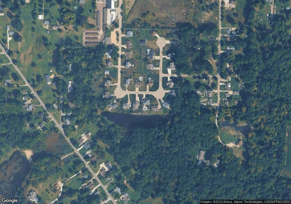
Map
Nearby Homes
- 4079 Siefer Dr
- 3689 Cherry Hill
- 3701 State Route 44
- 0 Lynn Rd Unit 5110102
- 4200 Hattrick Rd
- 4225 Hattrick Rd
- V/L 2 Lynn Rd
- V/L Lynn Rd
- 4415 Farmette Dr
- 4691 Scenic Dr
- sub lot Lane Ave
- 0 Tallmadge Rd Unit 5189301
- 0 Tallmadge Rd Unit 5189314
- 3637 Old Forge Rd
- 4556 Rootstown Rd
- 3021 Hartville Rd
- 4140 Sandy Lake Rd
- 4058 Bayberry Knoll Ln
- 4958 Bassett Rd
- 3925 Summit Rd
- 4392 Shannon Dr
- 4379 Shannon Dr
- 4384 Shannon Dr
- 4367 Shannon Dr
- 4396 Shannon Dr
- 4352 Shannon Dr
- 4355 Shannon Dr
- 4400 Curtis Rd
- 4401 Curtis Rd
- 0 Joshua Point
- 4346 Shannon Dr
- 3962 Joshua Point
- 4334 Shannon Dr
- 3933 Kenneth Dr
- R13 Shannon Dr
- R12 Shannon Dr
- R11 Shannon Dr
- 3961 Joshua Point
- 3954 Kenneth Dr
- 3953 Joshua Point
Your Personal Tour Guide
Ask me questions while you tour the home.