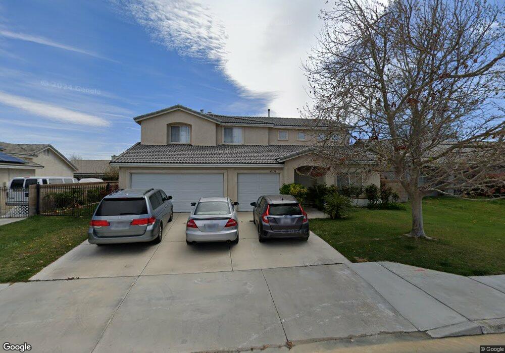
43758 21st St W Lancaster, CA 93536
West Lancaster NeighborhoodEstimated Value: $547,000 - $610,113
4
Beds
3
Baths
2,518
Sq Ft
$232/Sq Ft
Est. Value
About This Home
This home is located at 43758 21st St W, Lancaster, CA 93536 and is currently estimated at $583,278, approximately $231 per square foot. 43758 21st St W is a home located in Los Angeles County with nearby schools including Sunnydale Elementary School, Amargosa Creek Middle School, and Lancaster High School.
Ownership History
Date
Name
Owned For
Owner Type
Purchase Details
Closed on
May 14, 2004
Sold by
Miranda Josephine B
Bought by
Miranda Josephine B
Current Estimated Value
Home Financials for this Owner
Home Financials are based on the most recent Mortgage that was taken out on this home.
Original Mortgage
$265,200
Outstanding Balance
$127,569
Interest Rate
5.87%
Mortgage Type
New Conventional
Estimated Equity
$455,709
Purchase Details
Closed on
Jul 30, 2003
Sold by
Miranda Felix D
Bought by
Miranda Josephine B
Purchase Details
Closed on
Sep 19, 2001
Sold by
J P Eliopulos Enterprises Inc
Bought by
Miranda Felix D
Home Financials for this Owner
Home Financials are based on the most recent Mortgage that was taken out on this home.
Original Mortgage
$221,600
Interest Rate
6.87%
Create a Home Valuation Report for This Property
The Home Valuation Report is an in-depth analysis detailing your home's value as well as a comparison with similar homes in the area
Home Values in the Area
Average Home Value in this Area
Purchase History
| Date | Buyer | Sale Price | Title Company |
|---|---|---|---|
| Miranda Josephine B | -- | Orange Coast Title | |
| Miranda Josephine B | -- | -- | |
| Miranda Felix D | $233,500 | -- | |
| Miranda Felix D | -- | -- |
Source: Public Records
Mortgage History
| Date | Status | Borrower | Loan Amount |
|---|---|---|---|
| Open | Miranda Josephine B | $265,200 | |
| Closed | Miranda Felix D | $221,600 |
Source: Public Records
Tax History Compared to Growth
Tax History
| Year | Tax Paid | Tax Assessment Tax Assessment Total Assessment is a certain percentage of the fair market value that is determined by local assessors to be the total taxable value of land and additions on the property. | Land | Improvement |
|---|---|---|---|---|
| 2025 | $5,563 | $344,632 | $47,706 | $296,926 |
| 2024 | $5,563 | $337,875 | $46,771 | $291,104 |
| 2023 | $5,447 | $331,251 | $45,854 | $285,397 |
| 2022 | $5,215 | $324,756 | $44,955 | $279,801 |
| 2021 | $4,795 | $318,389 | $44,074 | $274,315 |
| 2019 | $4,654 | $308,948 | $42,768 | $266,180 |
| 2018 | $4,654 | $302,891 | $41,930 | $260,961 |
| 2016 | $4,400 | $291,131 | $40,302 | $250,829 |
| 2015 | $4,134 | $269,000 | $36,200 | $232,800 |
| 2014 | $3,768 | $236,000 | $31,800 | $204,200 |
Source: Public Records
Map
Nearby Homes
- 43657 21st St W
- 2128 Edam St
- 2310 Edam St
- 43605 Lively Ave
- 2130 Spice St
- 43843 Albeck Ave
- 43938 Generation Ave
- 7200 W Avenue K
- 72xx W Avenue K
- 105 W Avenue K
- 43804 Fenner Ave
- 2040 W Avenue j7
- 44019 22nd St W
- 0 Westfield Dr Vic 25th St W
- 0 Westfield Dr
- 2104 W Avenue j6
- 44041 22nd St W
- 44057 Generation Ave
- 44021 Fenner Ave
- 25 25th St W & K4
- 43768 21st St W
- 43752 21st St W
- 43757 Generation Ave
- 43751 Generation Ave
- 43767 Generation Ave
- 43806 21st St W
- 43744 21st St W
- 2103 W Avenue j12
- 43743 Generation Ave
- 43805 Generation Ave
- 2104 W Avenue j12
- 2100 Dallin St
- 43814 21st St W
- 43813 Generation Ave
- 2111 W Avenue J 12
- 2112 W Avenue j12
- 2108 Dallin St
- 43727 21st St W
- 43754 Generation Ave
- 43764 Generation Ave