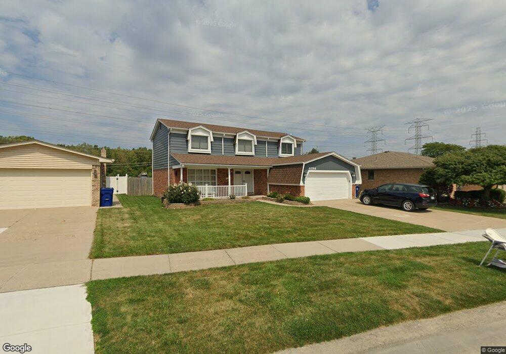
43764 Cranford Ave Canton, MI 48187
Estimated Value: $370,000 - $411,379
4
Beds
2
Baths
2,185
Sq Ft
$179/Sq Ft
Est. Value
About This Home
This home is located at 43764 Cranford Ave, Canton, MI 48187 and is currently estimated at $390,095, approximately $178 per square foot. 43764 Cranford Ave is a home located in Wayne County with nearby schools including Canton High School, Discovery Middle School, and Salem High School.
Ownership History
Date
Name
Owned For
Owner Type
Purchase Details
Closed on
Jun 4, 2021
Sold by
Rosin Cortney and Wojtowicz Cortney
Bought by
Wojtowicz Cortney
Current Estimated Value
Home Financials for this Owner
Home Financials are based on the most recent Mortgage that was taken out on this home.
Original Mortgage
$143,500
Outstanding Balance
$129,921
Interest Rate
2.9%
Mortgage Type
New Conventional
Estimated Equity
$260,174
Purchase Details
Closed on
Mar 6, 2008
Sold by
Mortgage Electronic Registration Systems
Bought by
Federal National Mortgage Association
Purchase Details
Closed on
Mar 5, 2008
Sold by
Chambers John and Chambers Kimberly
Bought by
Mortgage Electronic Registration Systems
Purchase Details
Closed on
Aug 22, 2003
Sold by
Whyde Sherry and Shunk Sherry R
Bought by
Chambers John
Create a Home Valuation Report for This Property
The Home Valuation Report is an in-depth analysis detailing your home's value as well as a comparison with similar homes in the area
Home Values in the Area
Average Home Value in this Area
Purchase History
| Date | Buyer | Sale Price | Title Company |
|---|---|---|---|
| Wojtowicz Cortney | -- | Vylla Llc | |
| Federal National Mortgage Association | -- | None Available | |
| Mortgage Electronic Registration Systems | $175,852 | None Available | |
| Chambers John | $225,000 | Stewart Title |
Source: Public Records
Mortgage History
| Date | Status | Borrower | Loan Amount |
|---|---|---|---|
| Open | Wojtowicz Cortney | $143,500 |
Source: Public Records
Tax History Compared to Growth
Tax History
| Year | Tax Paid | Tax Assessment Tax Assessment Total Assessment is a certain percentage of the fair market value that is determined by local assessors to be the total taxable value of land and additions on the property. | Land | Improvement |
|---|---|---|---|---|
| 2025 | $1,700 | $184,100 | $0 | $0 |
| 2024 | $1,700 | $168,300 | $0 | $0 |
| 2023 | $1,621 | $150,200 | $0 | $0 |
| 2022 | $3,598 | $132,600 | $0 | $0 |
| 2021 | $3,491 | $130,600 | $0 | $0 |
| 2020 | $3,446 | $125,500 | $0 | $0 |
| 2019 | $3,383 | $114,620 | $0 | $0 |
| 2018 | $1,378 | $105,810 | $0 | $0 |
| 2017 | $3,494 | $105,200 | $0 | $0 |
| 2016 | $3,083 | $107,700 | $0 | $0 |
| 2015 | $7,570 | $96,750 | $0 | $0 |
| 2013 | $7,333 | $76,340 | $0 | $0 |
| 2010 | -- | $84,830 | $42,310 | $42,520 |
Source: Public Records
Map
Nearby Homes
- 437 Corinne Blvd
- 44150 Duchess Dr
- 1322 Saltz Ct
- 278 Cornell St
- 42771 Lilley Pointe Dr Unit 154
- 42789 Lilley Pointe Dr Unit 146
- 603 Concord Dr Unit 67
- 1494 Ranier Blvd
- 42697 Redfern St
- 5887 Northford
- 44893 Fair Oaks Dr
- 550 Concord Dr Unit 75
- 227 Edington Cir
- 42479 Redfern St
- 288 Edington Cir Unit 61
- 42481 Lilley Pointe Dr Unit 33
- 1822 N Sheldon Rd
- 58560 Stuart Dr
- 678 Kings Way
- 45030 Glengarry Rd
- 43776 Cranford Ave
- 43752 Cranford Ave
- 43800 Cranford Ave
- 43740 Cranford Ave
- 43812 Cranford Ave
- 43775 Cranford Ave
- 43759 Cranford Ave
- 625 N Corrine Blvd
- 637 N Corrine Blvd
- 43801 Cranford Ave
- 43747 Cranford Ave
- 613 N Corrine Blvd
- 43824 Cranford Ave
- 43813 Cranford Ave
- 43735 Cranford Ave
- 43836 Cranford Ave
- 43825 Cranford Ave
- 43758 Palisades Dr
- 43770 Palisades Dr
- 451 N Corrine Blvd