4378 12 3/4 Ave Hanford, CA 93230
Estimated Value: $1,308,000 - $1,797,832
5
Beds
3
Baths
5,429
Sq Ft
$286/Sq Ft
Est. Value
About This Home
This home is located at 4378 12 3/4 Ave, Hanford, CA 93230 and is currently estimated at $1,552,916, approximately $286 per square foot. 4378 12 3/4 Ave is a home located in Kings County with nearby schools including Kings River-Hardwick Elementary School and Hanford Christian School.
Ownership History
Date
Name
Owned For
Owner Type
Purchase Details
Closed on
Feb 27, 2023
Sold by
Murray Michael D and Murray Brenda Martin
Bought by
Michael And Brenda Murray Family Trust
Current Estimated Value
Purchase Details
Closed on
Nov 14, 2011
Sold by
Murray Michael D and Murray Brenda V
Bought by
Murray Michael D and Murray Brenda Martin
Home Financials for this Owner
Home Financials are based on the most recent Mortgage that was taken out on this home.
Original Mortgage
$2,200,000
Interest Rate
4.09%
Mortgage Type
New Conventional
Purchase Details
Closed on
Jan 8, 2003
Sold by
Murray Brenda Martin
Bought by
Murray Michael and Murray Brenda Martin
Create a Home Valuation Report for This Property
The Home Valuation Report is an in-depth analysis detailing your home's value as well as a comparison with similar homes in the area
Home Values in the Area
Average Home Value in this Area
Purchase History
| Date | Buyer | Sale Price | Title Company |
|---|---|---|---|
| Michael And Brenda Murray Family Trust | -- | -- | |
| Murray Michael D | -- | Chicago Title Company | |
| Murray Michael | -- | Chicago Title Company |
Source: Public Records
Mortgage History
| Date | Status | Borrower | Loan Amount |
|---|---|---|---|
| Previous Owner | Murray Michael D | $2,200,000 |
Source: Public Records
Tax History Compared to Growth
Tax History
| Year | Tax Paid | Tax Assessment Tax Assessment Total Assessment is a certain percentage of the fair market value that is determined by local assessors to be the total taxable value of land and additions on the property. | Land | Improvement |
|---|---|---|---|---|
| 2025 | $9,137 | $852,892 | $238,287 | $614,605 |
| 2024 | $9,137 | $853,076 | $183,321 | $669,755 |
| 2023 | $8,309 | $773,869 | $201,299 | $572,570 |
| 2022 | $7,885 | $721,583 | $157,832 | $563,751 |
| 2021 | $7,680 | $699,857 | $166,613 | $533,244 |
| 2020 | $7,366 | $679,157 | $151,381 | $527,776 |
| 2019 | $7,456 | $678,121 | $156,479 | $521,642 |
| 2018 | $7,303 | $650,754 | $143,473 | $507,281 |
| 2017 | $7,044 | $672,395 | $164,961 | $507,434 |
| 2016 | $6,791 | $662,840 | $197,340 | $465,500 |
| 2015 | $6,883 | $674,728 | $207,884 | $466,844 |
| 2014 | $6,524 | $636,087 | $176,522 | $459,565 |
Source: Public Records
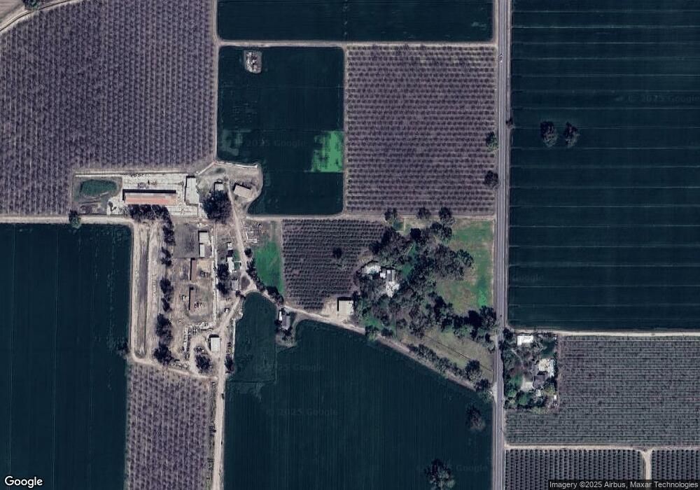
Map
Nearby Homes
- 12837 Douglas Ave
- 4603 12th Ave
- 6585 Murphy Ave
- 5721 E Riverdale Ave
- 7476 E Mount Whitney Ave
- 5675 E Letson Ave
- 21530 Tiburico Ave
- 0 S Sunnyside Ave
- 5775 N 11th Ave
- 15400 Excelsior Ave
- 9700 Excelsior Ave
- 1010 W Quail Rock Way
- 0 Dover Ave
- 1109 W Cinnamon Ave
- 927 W Saffron St
- 9 1/2 Avenue
- 1172 W Pepper Dr
- 14818 Flint Ave
- 0 Flint Ave
- 612 Saffron St
- 0 12 3 4 Ave
- 4375 12 3/4 Ave
- 3985 12 3/4 Ave
- 4024 13 1/4 Ave
- 4560 13 1/4 Ave
- 4334 13 1/4 Ave
- 3948 13 1/4 Ave
- 4656 13 1/4 Ave
- 4620 13 1/4 Ave
- 4670 13 1/4 Ave
- 4769 13 1 4 Ave
- 4769 13 1/4 Ave
- 3557 12 3/4 Ave
- 12811 Excelsior Ave
- 12971 Excelsior Ave
- 12975 Excelsior Ave
- 12805 Excelsior Ave
- 12799 Excelsior Ave
- 4292 12th Ave
- 3960 12th Ave