4379 N 59th Ave W Newton, IA 50208
Estimated Value: $384,000 - $422,000
2
Beds
2
Baths
1,326
Sq Ft
$304/Sq Ft
Est. Value
About This Home
This home is located at 4379 N 59th Ave W, Newton, IA 50208 and is currently estimated at $403,144, approximately $304 per square foot. 4379 N 59th Ave W is a home located in Jasper County with nearby schools including Thomas Jefferson Elementary School, Woodrow Wilson Elementary School, and Berg Middle School.
Ownership History
Date
Name
Owned For
Owner Type
Purchase Details
Closed on
Dec 23, 2009
Sold by
Trease Brian L
Bought by
Smith Joshua W and Smith Sheree M
Current Estimated Value
Home Financials for this Owner
Home Financials are based on the most recent Mortgage that was taken out on this home.
Original Mortgage
$200,000
Interest Rate
4.84%
Mortgage Type
New Conventional
Create a Home Valuation Report for This Property
The Home Valuation Report is an in-depth analysis detailing your home's value as well as a comparison with similar homes in the area
Home Values in the Area
Average Home Value in this Area
Purchase History
| Date | Buyer | Sale Price | Title Company |
|---|---|---|---|
| Smith Joshua W | $200,000 | United Land Title Co |
Source: Public Records
Mortgage History
| Date | Status | Borrower | Loan Amount |
|---|---|---|---|
| Closed | Smith Joshua W | $200,000 |
Source: Public Records
Tax History Compared to Growth
Tax History
| Year | Tax Paid | Tax Assessment Tax Assessment Total Assessment is a certain percentage of the fair market value that is determined by local assessors to be the total taxable value of land and additions on the property. | Land | Improvement |
|---|---|---|---|---|
| 2025 | $3,132 | $256,610 | $75,050 | $181,560 |
| 2024 | $3,132 | $219,300 | $57,900 | $161,400 |
| 2023 | $3,026 | $219,300 | $57,900 | $161,400 |
| 2022 | $2,644 | $169,140 | $43,500 | $125,640 |
| 2021 | $2,586 | $160,710 | $43,500 | $117,210 |
| 2020 | $2,586 | $153,510 | $46,780 | $106,730 |
| 2019 | $2,374 | $154,050 | $0 | $0 |
| 2018 | $2,374 | $154,050 | $0 | $0 |
| 2017 | $2,366 | $164,800 | $0 | $0 |
| 2016 | $2,366 | $164,800 | $0 | $0 |
| 2015 | $2,296 | $165,660 | $0 | $0 |
| 2014 | $2,218 | $165,660 | $0 | $0 |
Source: Public Records
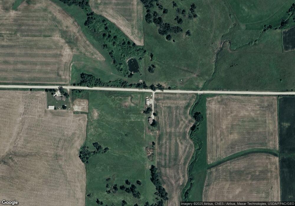
Map
Nearby Homes
- 4848 W 48th St N
- 5240 N 67th Ave W
- 5323 Highway F36 W
- 3729 W 56th St N
- 3735 W 3rd St N
- 1650 W 28th St N
- 1005 W 8th St N
- 1525 1st St N
- 299 Hickory St
- 2214 Highway F48 W
- 1420 1st St N
- 1401 1st St N
- 124 Emerson Hough Dr
- 549 W 10th St N
- 316 N 9th Ave W
- 6911-10 Highway F 48 W
- 6285 E 28th St N
- 831 1st St N
- 1100 1st Ave W
- 410 S East Ave