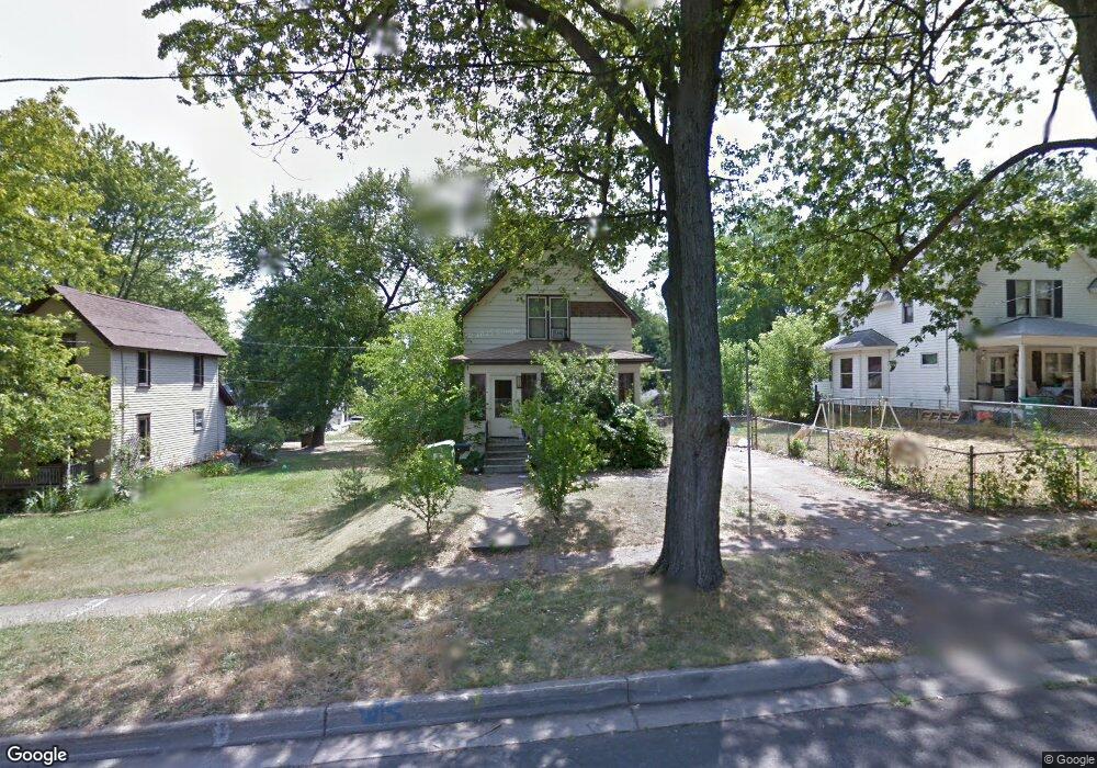
438 23rd St N Springfield, MI 49037
Estimated Value: $73,000 - $136,000
3
Beds
2
Baths
792
Sq Ft
$129/Sq Ft
Est. Value
About This Home
This home is located at 438 23rd St N, Springfield, MI 49037 and is currently estimated at $102,435, approximately $129 per square foot. 438 23rd St N is a home located in Calhoun County with nearby schools including Valley View Elementary School, Springfield Middle School, and Battle Creek Central High School.
Ownership History
Date
Name
Owned For
Owner Type
Purchase Details
Closed on
Jan 10, 2020
Sold by
Packer Duane L and Packer Ethel S
Bought by
Shw1 Llc
Current Estimated Value
Purchase Details
Closed on
Nov 28, 2007
Sold by
Federal Home Loan Mortgage Corporation
Bought by
Packer Duane L and Packer Ethel
Home Financials for this Owner
Home Financials are based on the most recent Mortgage that was taken out on this home.
Original Mortgage
$18,850
Interest Rate
6.31%
Mortgage Type
Purchase Money Mortgage
Purchase Details
Closed on
Mar 9, 2007
Sold by
Rice Ryan and Abn Amro Mortgage Group Inc
Bought by
Federal Home Loan Mortgage Corporation
Purchase Details
Closed on
Oct 24, 2001
Sold by
Ayers Jeffrey and Ayers Michelle
Bought by
Rice Ryan R
Create a Home Valuation Report for This Property
The Home Valuation Report is an in-depth analysis detailing your home's value as well as a comparison with similar homes in the area
Home Values in the Area
Average Home Value in this Area
Purchase History
| Date | Buyer | Sale Price | Title Company |
|---|---|---|---|
| Shw1 Llc | $168,000 | Ata National Title Group Llc | |
| Packer Duane L | $29,000 | Attorneys Title Agency Llc | |
| Federal Home Loan Mortgage Corporation | $66,338 | None Available | |
| Rice Ryan R | $61,500 | -- |
Source: Public Records
Mortgage History
| Date | Status | Borrower | Loan Amount |
|---|---|---|---|
| Previous Owner | Packer Duane L | $18,850 |
Source: Public Records
Tax History
| Year | Tax Paid | Tax Assessment Tax Assessment Total Assessment is a certain percentage of the fair market value that is determined by local assessors to be the total taxable value of land and additions on the property. | Land | Improvement |
|---|---|---|---|---|
| 2025 | $2,029 | $38,409 | $0 | $0 |
| 2024 | $1,857 | $38,500 | $0 | $0 |
| 2023 | $1,742 | $34,272 | $0 | $0 |
| 2022 | $1,234 | $30,037 | $0 | $0 |
| 2021 | $1,649 | $25,837 | $0 | $0 |
| 2020 | $1,010 | $22,645 | $0 | $0 |
| 2019 | $1,415 | $20,157 | $0 | $0 |
| 2018 | $0 | $19,054 | $6,435 | $12,619 |
| 2017 | $0 | $18,985 | $0 | $0 |
| 2016 | $0 | $17,588 | $0 | $0 |
| 2015 | -- | $14,682 | $0 | $0 |
| 2014 | -- | $19,451 | $0 | $0 |
Source: Public Records
Map
Nearby Homes
- 446 24th St N
- 430 21st St N
- 396 & 398 N 20th St
- 41 Avenue B
- 322 28th St N
- 250 N 16th St
- 294 20th St N
- V/L Lafayette Ave Unit 33
- V/L Lafayette Ave Unit 32
- V/L Lafayette Ave Unit 16
- V/L Lafayette Ave Unit 11
- 276 Lafayette Ave
- 240 25th St N
- 254 Lafayette Ave
- 241 26th St N
- 261 Parrish St
- 612 Hamblin Ave W
- 185 Kirkwood Ave
- 598 Hamblin Ave W
- 212 23rd St N
Your Personal Tour Guide
Ask me questions while you tour the home.