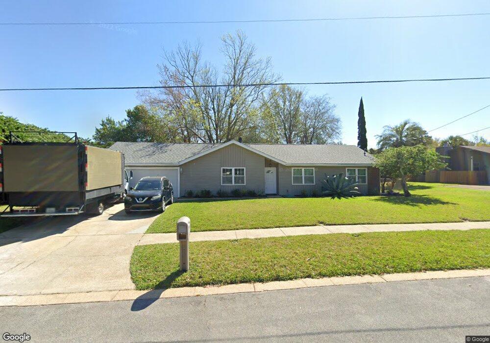
438 Anderson Dr Destin, FL 32541
Estimated Value: $416,564 - $539,000
3
Beds
2
Baths
1,929
Sq Ft
$246/Sq Ft
Est. Value
About This Home
This home is located at 438 Anderson Dr, Destin, FL 32541 and is currently estimated at $473,891, approximately $245 per square foot. 438 Anderson Dr is a home located in Okaloosa County with nearby schools including Destin Elementary School, Destin Middle School, and Fort Walton Beach High School.
Ownership History
Date
Name
Owned For
Owner Type
Purchase Details
Closed on
Jul 30, 2003
Sold by
Welniak Robert M and Welniak Joann A
Bought by
Ellsworth Matt
Current Estimated Value
Home Financials for this Owner
Home Financials are based on the most recent Mortgage that was taken out on this home.
Original Mortgage
$161,900
Interest Rate
5.17%
Mortgage Type
Purchase Money Mortgage
Purchase Details
Closed on
Jun 28, 2002
Sold by
Kilpatrick Albert J and Kilpatrick Carol M
Bought by
Welniak Robert M and Welniak Joann A
Home Financials for this Owner
Home Financials are based on the most recent Mortgage that was taken out on this home.
Original Mortgage
$93,800
Interest Rate
6.79%
Create a Home Valuation Report for This Property
The Home Valuation Report is an in-depth analysis detailing your home's value as well as a comparison with similar homes in the area
Home Values in the Area
Average Home Value in this Area
Purchase History
| Date | Buyer | Sale Price | Title Company |
|---|---|---|---|
| Ellsworth Matt | $179,900 | -- | |
| Welniak Robert M | $117,300 | Security First Title Partner |
Source: Public Records
Mortgage History
| Date | Status | Borrower | Loan Amount |
|---|---|---|---|
| Closed | Ellsworth Matt | $161,900 | |
| Previous Owner | Welniak Robert M | $93,800 |
Source: Public Records
Tax History Compared to Growth
Tax History
| Year | Tax Paid | Tax Assessment Tax Assessment Total Assessment is a certain percentage of the fair market value that is determined by local assessors to be the total taxable value of land and additions on the property. | Land | Improvement |
|---|---|---|---|---|
| 2024 | $1,852 | $199,345 | -- | -- |
| 2023 | $1,852 | $193,539 | $0 | $0 |
| 2022 | $1,801 | $187,902 | $0 | $0 |
| 2021 | $1,793 | $182,429 | $0 | $0 |
| 2020 | $1,776 | $179,910 | $0 | $0 |
| 2019 | $1,752 | $175,865 | $0 | $0 |
| 2018 | $1,733 | $172,586 | $0 | $0 |
| 2017 | $1,720 | $169,036 | $0 | $0 |
| 2016 | $1,674 | $165,559 | $0 | $0 |
| 2015 | $1,698 | $164,408 | $0 | $0 |
| 2014 | $1,743 | $129,934 | $0 | $0 |
Source: Public Records
Map
Nearby Homes
- 431 Benning Dr
- 519 Kelly St
- 501 Benning Dr
- 504 Kelly St
- 516 Driftwood Ln
- 318 Sailfish Cir
- TBD Kelly St
- 408 Kelly St
- 113 Fletcher Way
- 109 Fletcher Way
- 603 Legion Dr
- 508 Sibert Ave
- 104 Fletcher Way
- 619 Mimosa Ave
- 38 Redbird Loop
- 32 Redbird Loop
- 316 Kelly St
- 523 Sea Hills Dr
- 16 Redbird Loop Unit 16
- 518 Second Ave
- 536 Juanita Ave
- 434 Anderson Dr
- 439 Overstreet Dr
- 540 Juanita Ave
- 435 Overstreet Dr
- 439 Anderson Dr
- 528 Juanita Ave
- 435 Anderson Dr
- 430 Anderson Dr
- 431 Anderson Dr
- 535 Juanita Ave
- 438 Fleshman Dr
- 438 Overstreet Dr
- 531 Juanita Ave
- 539 Juanita Ave
- 434 Fleshman Dr
- 434 Overstreet Dr
- 524 Juanita Ave
- 548 Juanita Ave
- 0 Overstreet Dr