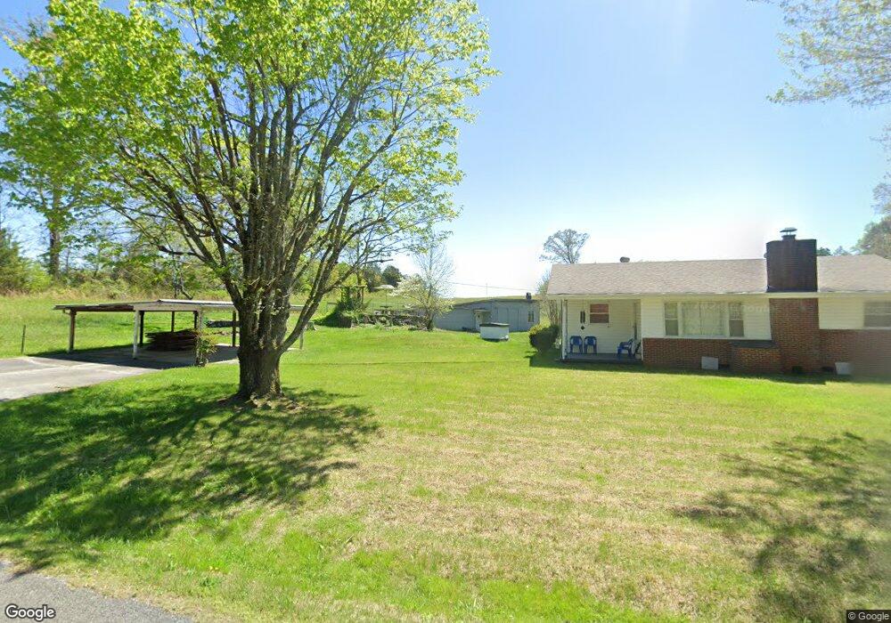
438 Summitt Rd Vonore, TN 37885
Estimated Value: $204,719 - $1,126,000
--
Bed
1
Bath
1,040
Sq Ft
$449/Sq Ft
Est. Value
About This Home
This home is located at 438 Summitt Rd, Vonore, TN 37885 and is currently estimated at $466,930, approximately $448 per square foot. 438 Summitt Rd is a home located in Monroe County with nearby schools including Vonore Elementary School, Vonore Middle School, and Sweetwater High School.
Ownership History
Date
Name
Owned For
Owner Type
Purchase Details
Closed on
Jul 18, 2025
Sold by
Hall Kelly Millsaps and Hall Charles Steven
Bought by
Hall Charles Steven and Hall Kelly K
Current Estimated Value
Purchase Details
Closed on
Mar 26, 2014
Sold by
Millsaps Mildred R
Bought by
Richards Charles W and Richards Edith E
Purchase Details
Closed on
Dec 14, 1959
Bought by
Millsaps Ralph T and Millsaps Mildred R
Create a Home Valuation Report for This Property
The Home Valuation Report is an in-depth analysis detailing your home's value as well as a comparison with similar homes in the area
Home Values in the Area
Average Home Value in this Area
Purchase History
| Date | Buyer | Sale Price | Title Company |
|---|---|---|---|
| Hall Charles Steven | -- | None Listed On Document | |
| Hall Charles Steven | -- | None Listed On Document | |
| Richards Charles W | $6,000 | -- | |
| Millsaps Ralph T | -- | -- |
Source: Public Records
Tax History Compared to Growth
Tax History
| Year | Tax Paid | Tax Assessment Tax Assessment Total Assessment is a certain percentage of the fair market value that is determined by local assessors to be the total taxable value of land and additions on the property. | Land | Improvement |
|---|---|---|---|---|
| 2025 | $719 | $46,775 | $0 | $0 |
| 2024 | $719 | $47,225 | $17,750 | $29,475 |
| 2023 | $719 | $47,225 | $17,750 | $29,475 |
| 2022 | $602 | $26,875 | $12,775 | $14,100 |
| 2021 | $602 | $26,875 | $12,775 | $14,100 |
| 2020 | $602 | $26,875 | $12,775 | $14,100 |
| 2019 | $532 | $26,875 | $12,775 | $14,100 |
| 2018 | $532 | $26,875 | $12,775 | $14,100 |
| 2017 | $694 | $33,125 | $18,750 | $14,375 |
| 2016 | $694 | $33,125 | $18,750 | $14,375 |
| 2015 | $694 | $33,125 | $18,750 | $14,375 |
| 2014 | $693 | $33,108 | $0 | $0 |
Source: Public Records
Map
Nearby Homes
- 218 Candi Ln
- 1035 Lakeside Rd
- 321 Hendrix Loop
- 159 Bat Creek Shores Ln
- 279 Lakeside Meadows Cir
- 275 Osprey Cir
- 240 Lake Meadows Cir
- 0 Wilderness Dr Unit 1308702
- 0 Wilderness Dr Unit RTC2924178
- 768 Wood Duck Dr
- 124 Eagle Cir
- 0 Red Wing Dr Unit RTC2971654
- 0 Red Wing Dr Unit 1518403
- 104 Greenfinch Dr
- 88 Red Wing Dr
- 148 White Hawk Dr
- 216 Osprey Cir
- 149 White Hawk Dr
- 1735 Highway 411
- 211 Osprey Cir
- 424 Summitt Rd
- 453 Summitt Rd
- 457 Summitt Rd
- 409 Summitt Rd
- 209 Pressley Rd
- 167 Brakebill Rd
- 195 Pressley Rd
- 347 Brakebill Rd
- 340 Brakebill Rd
- 392 Summitt Rd
- 219 Pressley Rd
- 350 Brakebill Rd
- 170 Pressley Rd
- 360 Brakebill Rd
- 231 Pressley Rd
- 344 Brakebill Rd
- 369 Brakebill Rd
- 352 Brakebill Rd
- 243 Pressley Rd
- 247 Pressley Rd