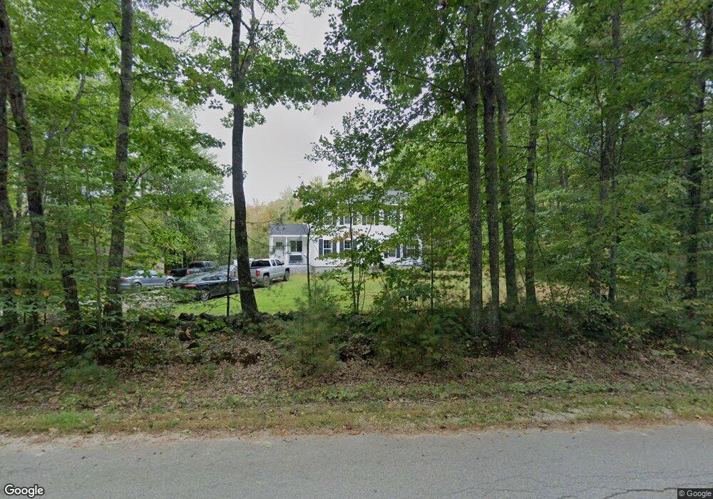
438 Tobey Rd New Gloucester, ME 04260
Estimated Value: $383,000 - $512,000
3
Beds
3
Baths
952
Sq Ft
$471/Sq Ft
Est. Value
About This Home
This home is located at 438 Tobey Rd, New Gloucester, ME 04260 and is currently estimated at $448,094, approximately $470 per square foot. 438 Tobey Rd is a home located in Cumberland County with nearby schools including Gray-New Gloucester High School.
Ownership History
Date
Name
Owned For
Owner Type
Purchase Details
Closed on
Jun 10, 2008
Sold by
Saunders Michael J
Bought by
Saunders Michael J and Saunders Emily
Current Estimated Value
Home Financials for this Owner
Home Financials are based on the most recent Mortgage that was taken out on this home.
Original Mortgage
$181,375
Outstanding Balance
$119,936
Interest Rate
6.11%
Mortgage Type
FHA
Estimated Equity
$328,158
Create a Home Valuation Report for This Property
The Home Valuation Report is an in-depth analysis detailing your home's value as well as a comparison with similar homes in the area
Home Values in the Area
Average Home Value in this Area
Purchase History
| Date | Buyer | Sale Price | Title Company |
|---|---|---|---|
| Saunders Michael J | -- | -- |
Source: Public Records
Mortgage History
| Date | Status | Borrower | Loan Amount |
|---|---|---|---|
| Open | Saunders Michael J | $181,375 |
Source: Public Records
Tax History Compared to Growth
Tax History
| Year | Tax Paid | Tax Assessment Tax Assessment Total Assessment is a certain percentage of the fair market value that is determined by local assessors to be the total taxable value of land and additions on the property. | Land | Improvement |
|---|---|---|---|---|
| 2025 | $3,699 | $239,111 | $76,900 | $162,211 |
| 2024 | $3,560 | $239,111 | $76,900 | $162,211 |
| 2023 | $3,417 | $239,111 | $76,900 | $162,211 |
| 2022 | $3,300 | $239,111 | $76,900 | $162,211 |
| 2021 | $3,300 | $239,111 | $76,900 | $162,211 |
| 2020 | $3,264 | $239,111 | $76,900 | $162,211 |
| 2019 | $3,324 | $196,700 | $71,300 | $125,400 |
| 2018 | $3,108 | $196,700 | $71,300 | $125,400 |
| 2017 | $3,069 | $196,700 | $71,300 | $125,400 |
| 2016 | $2,891 | $196,700 | $71,300 | $125,400 |
| 2015 | $2,882 | $196,700 | $71,300 | $125,400 |
| 2014 | $2,852 | $196,700 | $71,300 | $125,400 |
| 2013 | $2,646 | $196,700 | $71,300 | $125,400 |
Source: Public Records
Map
Nearby Homes
- 10 Spring Valley Ln
- 161 Beaver Dam Dr
- 10-56 C&E Bowdoin Way
- 12 Country Charm Ln
- 26 Carpenter Rd
- 46-47D Hines Rd & Main St
- Lot 47D -C Hines Rd
- 164 Intervale Rd
- 114 Garden Cir
- 832 Old Danville Rd
- 22 Lantern Way Unit 23
- 16 Harvest Hill Ln Unit 2
- 14 Harvest Hill Ln Unit 1
- 24 Swamp Rd
- 15 Country Club Dr
- 53 Westview Dr
- 26 Front Ave
- 55 Broadway Cir
- 730 Beech Hill Rd
- 14 Golden Way