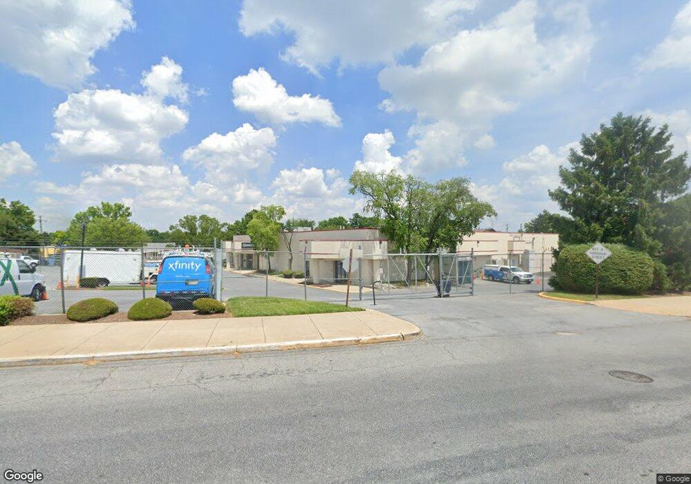
438 W Patrick St Frederick, MD 21701
Carrollton NeighborhoodEstimated Value: $2,545,390
Studio
--
Bath
18,900
Sq Ft
$135/Sq Ft
Est. Value
About This Home
This home is located at 438 W Patrick St, Frederick, MD 21701 and is currently estimated at $2,545,390, approximately $134 per square foot. 438 W Patrick St is a home located in Frederick County with nearby schools including Parkway Elementary School, West Frederick Middle School, and Frederick High School.
Ownership History
Date
Name
Owned For
Owner Type
Purchase Details
Closed on
May 14, 2007
Sold by
Adelphia Gs Cable Llc
Bought by
Comcast Of California & Maryland
Current Estimated Value
Purchase Details
Closed on
Apr 30, 2007
Sold by
Adelphia Gs Cable Llc
Bought by
Comcast Of California & Maryland and Pennsylvania & Virginia & West Va
Purchase Details
Closed on
Jun 28, 2001
Sold by
Adelphia Gs Cable Llc
Bought by
Adelphia Gs Cable Llc
Create a Home Valuation Report for This Property
The Home Valuation Report is an in-depth analysis detailing your home's value as well as a comparison with similar homes in the area
Home Values in the Area
Average Home Value in this Area
Purchase History
| Date | Buyer | Sale Price | Title Company |
|---|---|---|---|
| Comcast Of California & Maryland | $1,826,600 | -- | |
| Comcast Of California & Maryland | $1,826,600 | -- | |
| Adelphia Gs Cable Llc | -- | -- |
Source: Public Records
Tax History
| Year | Tax Paid | Tax Assessment Tax Assessment Total Assessment is a certain percentage of the fair market value that is determined by local assessors to be the total taxable value of land and additions on the property. | Land | Improvement |
|---|---|---|---|---|
| 2025 | $51,369 | $2,975,900 | $810,200 | $2,165,700 |
| 2024 | $51,369 | $2,782,100 | $0 | $0 |
| 2023 | $46,472 | $2,588,300 | $0 | $0 |
| 2022 | $42,866 | $2,394,500 | $810,200 | $1,584,300 |
| 2021 | $39,078 | $2,291,100 | $0 | $0 |
| 2020 | $39,078 | $2,187,700 | $0 | $0 |
| 2019 | $37,230 | $2,084,300 | $810,200 | $1,274,100 |
| 2018 | $37,558 | $2,084,300 | $810,200 | $1,274,100 |
| 2017 | $37,180 | $2,084,300 | $0 | $0 |
| 2016 | $42,286 | $2,327,600 | $0 | $0 |
| 2015 | $42,286 | $2,324,000 | $0 | $0 |
| 2014 | $42,286 | $2,320,400 | $0 | $0 |
Source: Public Records
Map
Nearby Homes
- 17 S Jefferson St
- 303 Willow Ave
- 301 Redwood Ave
- 307 Redwood Ave
- 273 Wyngate Dr
- 750 Carroll Pkwy
- 313 W College Terrace
- 345 Catoctin Ave
- 317 W College Terrace
- 307 Upper College Terrace
- 501 Prospect Blvd
- 358 Catoctin Ave
- 121 W Church St
- 423 Banksia Dr
- 416 Terry Ct
- 104 Mercer Ct
- 104 Mercer Ct
- 550 Logan St
- 432 Terry Ct
- 208 Broadway St
- 460 W Patrick St
- 529 W South St
- 454 W Patrick St
- 436 W Patrick St
- 445 W Patrick St
- 430 W Patrick St
- 524 W South St
- 441 W Patrick St
- 449 W Patrick St
- 463 W Patrick St
- 511 W South St
- 428 W Patrick St
- 464 W Patrick St
- 470 W Patrick St
- 420 W Patrick St
- 536 W South St
- 503 W South St
- 435 W Patrick St
- 424 W Patrick St
- 422 W Patrick St
Your Personal Tour Guide
Ask me questions while you tour the home.