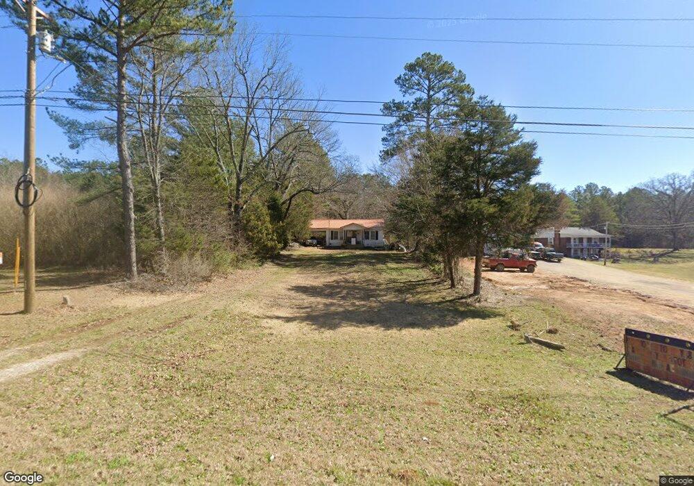
4380 Highway 128 Savannah, TN 38372
Estimated Value: $74,859 - $163,000
--
Bed
1
Bath
844
Sq Ft
$138/Sq Ft
Est. Value
About This Home
This home is located at 4380 Highway 128, Savannah, TN 38372 and is currently estimated at $116,715, approximately $138 per square foot. 4380 Highway 128 is a home located in Hardin County with nearby schools including Hardin County High School.
Ownership History
Date
Name
Owned For
Owner Type
Purchase Details
Closed on
May 24, 2011
Sold by
Bearden Marty
Bought by
Bearden Marty and Bearden Annette
Current Estimated Value
Home Financials for this Owner
Home Financials are based on the most recent Mortgage that was taken out on this home.
Original Mortgage
$34,050
Outstanding Balance
$23,565
Interest Rate
4.79%
Mortgage Type
Commercial
Estimated Equity
$93,150
Purchase Details
Closed on
Jan 28, 1994
Bought by
Bearden Marty Nancy D
Purchase Details
Closed on
Dec 18, 1985
Bought by
Bearden Roger D and Bearden Nancy D
Create a Home Valuation Report for This Property
The Home Valuation Report is an in-depth analysis detailing your home's value as well as a comparison with similar homes in the area
Home Values in the Area
Average Home Value in this Area
Purchase History
| Date | Buyer | Sale Price | Title Company |
|---|---|---|---|
| Bearden Marty | -- | -- | |
| Bearden Marty Nancy D | $15,700 | -- | |
| Bearden Roger D | -- | -- |
Source: Public Records
Mortgage History
| Date | Status | Borrower | Loan Amount |
|---|---|---|---|
| Open | Bearden Marty | $34,050 |
Source: Public Records
Tax History Compared to Growth
Tax History
| Year | Tax Paid | Tax Assessment Tax Assessment Total Assessment is a certain percentage of the fair market value that is determined by local assessors to be the total taxable value of land and additions on the property. | Land | Improvement |
|---|---|---|---|---|
| 2024 | $257 | $14,675 | $2,125 | $12,550 |
| 2023 | $257 | $14,675 | $2,125 | $12,550 |
| 2022 | $190 | $9,225 | $1,125 | $8,100 |
| 2021 | $190 | $9,225 | $1,125 | $8,100 |
| 2020 | $190 | $9,225 | $1,125 | $8,100 |
| 2019 | $190 | $9,225 | $1,125 | $8,100 |
| 2018 | $184 | $9,225 | $1,125 | $8,100 |
| 2017 | $158 | $7,600 | $1,125 | $6,475 |
| 2016 | $158 | $7,600 | $1,125 | $6,475 |
| 2015 | $138 | $7,600 | $1,125 | $6,475 |
| 2014 | $138 | $7,600 | $1,125 | $6,475 |
Source: Public Records
Map
Nearby Homes
- 175 Drake Loop
- 1031 Ridge Rd
- 61 Tulip Ln
- 1910 Hamburg Loop
- 225 Nixon Loop
- 470 Bandit Way
- LT 138 Bandit Way
- 3595 Northshore Dr
- 0 Northshore Dr Unit 24573680
- 3601 Northshore Dr
- 3600 Northshore Dr
- 0 Northshore Dr Unit 10186085
- 865 Sylvan Dr
- 8 Captains Cove
- 40 Baileys Way Pointe
- 5 & 6 Light Pointe
- 230 Silver Water Ln
- 255 Rock Pile Ln
- 440 Pyburns Dr
- LOT 32 Tidewater Pnt
- 380 Fishermans Loop
- 4335 Highway 128
- 0 Cravens & Shelton Dr
- 0 Cravens Rd & Rosewood Dr
- 0 Cravens & Rosewood Dr
- 4455 Tennessee 128
- 4265 Highway 128
- 4525 Tennessee 128
- 4540 Highway 128
- 4545 Tennessee 128
- 60 Carpenter Ln
- 530 Fishermans Loop
- 60 Sulphur Springs Hollow Ln
- 170 Hamburg Loop
- 40 Hamburg Loop
- 535 Fishermans Loop
- 200 Hamburg Loop
- 4590 Highway 128
- 65 Carpenter Ln
- 105 Sulphur Springs Hollow Ln