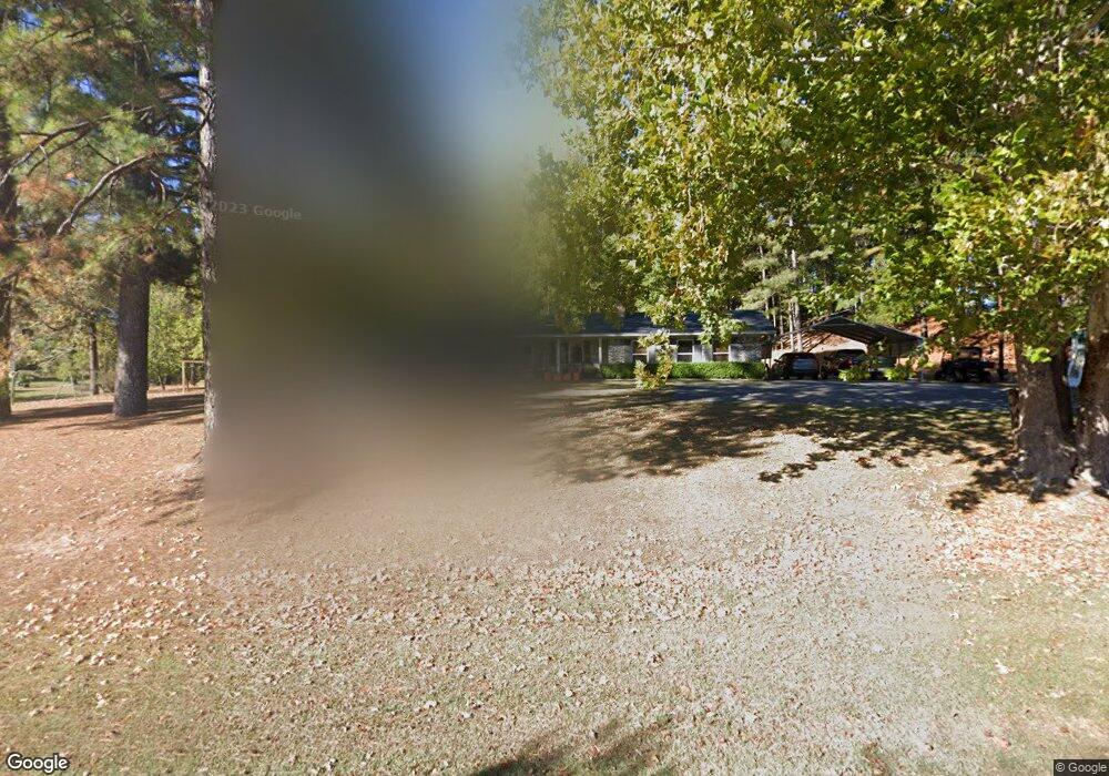
4382 Highway 557 West Monroe, LA 71292
Estimated Value: $180,525 - $254,000
3
Beds
2
Baths
1,575
Sq Ft
$139/Sq Ft
Est. Value
About This Home
This home is located at 4382 Highway 557, West Monroe, LA 71292 and is currently estimated at $218,381, approximately $138 per square foot. 4382 Highway 557 is a home located in Ouachita Parish with nearby schools including Pinecrest Elementary/Middle School and West Ouachita High School.
Ownership History
Date
Name
Owned For
Owner Type
Purchase Details
Closed on
Sep 20, 2007
Sold by
Shirley James Cecil and Shirley Deann Heyl
Bought by
Price Donald E and Price Glenda K
Current Estimated Value
Home Financials for this Owner
Home Financials are based on the most recent Mortgage that was taken out on this home.
Original Mortgage
$132,000
Outstanding Balance
$83,830
Interest Rate
6.63%
Mortgage Type
New Conventional
Estimated Equity
$134,551
Create a Home Valuation Report for This Property
The Home Valuation Report is an in-depth analysis detailing your home's value as well as a comparison with similar homes in the area
Home Values in the Area
Average Home Value in this Area
Purchase History
| Date | Buyer | Sale Price | Title Company |
|---|---|---|---|
| Price Donald E | $132,000 | None Available |
Source: Public Records
Mortgage History
| Date | Status | Borrower | Loan Amount |
|---|---|---|---|
| Open | Price Donald E | $132,000 |
Source: Public Records
Tax History Compared to Growth
Tax History
| Year | Tax Paid | Tax Assessment Tax Assessment Total Assessment is a certain percentage of the fair market value that is determined by local assessors to be the total taxable value of land and additions on the property. | Land | Improvement |
|---|---|---|---|---|
| 2024 | $524 | $13,200 | $2,112 | $11,088 |
| 2023 | $531 | $13,200 | $2,112 | $11,088 |
| 2022 | $1,171 | $13,200 | $2,112 | $11,088 |
| 2021 | $1,186 | $13,200 | $2,112 | $11,088 |
| 2020 | $1,186 | $13,200 | $2,112 | $11,088 |
| 2019 | $1,182 | $13,200 | $2,112 | $11,088 |
| 2018 | $511 | $13,200 | $2,112 | $11,088 |
| 2017 | $1,182 | $13,200 | $2,112 | $11,088 |
| 2016 | $1,182 | $13,200 | $2,112 | $11,088 |
| 2015 | $509 | $13,200 | $2,112 | $11,088 |
| 2014 | $509 | $13,200 | $2,112 | $11,088 |
| 2013 | $507 | $13,200 | $2,112 | $11,088 |
Source: Public Records
Map
Nearby Homes
- 4570 Red Cut Rd
- 759 Tom Rawls Rd
- 1147 Frost Tower Rd
- Red Cut Road Lot Unit Wp001
- 944 Dan Lenard Rd
- 1305 Charlie Griggs
- 111 Frost Tower Rd
- 112 Bill Dr
- 2164 Louisiana 557
- 2104 Red Cut Rd
- 00 Bay Leaf Dr
- 2647 Lapine Rd
- 153 Red Hill Ln
- 146 S Leo Ln
- 175 S Leo Ln
- 184 S Leo Ln
- 000 Jimmy Graham Loop
- 000 William Harris Rd Unit 1.365 Acres
- 0 Roberson Rd Unit 206166
- 212 S Leo Ln
- 4350 Highway 557
- 4359 Highway 557
- 4605 Highway 557
- 4714 Highway 557
- 4710 Highway 557
- 4800 Red Cut Rd
- 4812 Highway 557
- 4815 Red Cut Rd
- 4777 Red Cut Rd
- 4738 Red Cut Rd
- 4729 Red Cut Rd
- 4901 Highway 557
- 4978 Highway 557
- 4925 Highway 557
- 4604 Red Cut Rd
- 4582 Red Cut Rd
- 155 Dulaney Rd
- 155 Dulaney Rd
- 155 Dulaney Rd
- 0 Hwy 557 & Old Polk City Rd Unit K4587789